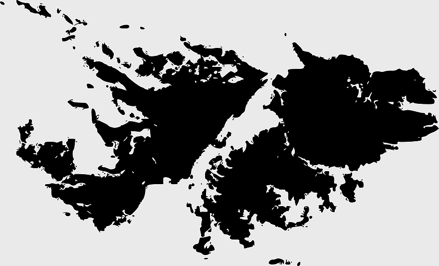
Falklands War map, Stanley Port San Carlos, Falkland Islands terrain, black and white topo map, South Atlantic conflict zones, British overseas territory map, Argentine military operations, PNG free download
Falklands War map, Stanley Port San Carlos, Falkland Islands terrain, black and white topo map, South Atlantic conflict zones, British overseas territory map, Argentine military operations
More related PNGs
518x518pxMalvinas Argentinas map, Falkland Islands dispute, Argentine Antarctica territory, blue world map, southern hemisphere islands, territorial sovereignty conflict, Antarctic region geopolitics
359x768pxArgentina blank map, Argentine Northwest geography, black and white outline, coloring book map, South American cartography, silhouette map, travel atlas design
1280x640pxwar soldiers silhouette, monochrome battle scene, black and white military crowd, combat design illustration, historical conflict, battlefield action art, armed forces graphic
2400x1445pxWorld War soldiers monochrome drawing, First World War combat artwork, Second World War black and white icons, soldiers in battle scene, historical military illustration, wartime action sketch, conflict era artwork