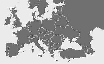
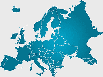
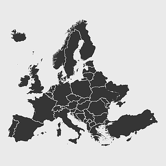
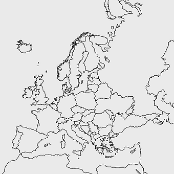
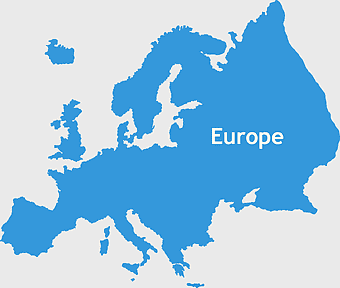
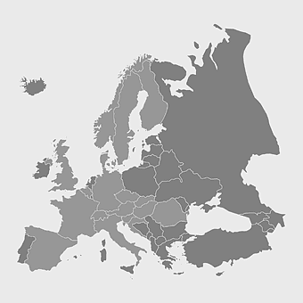
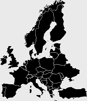
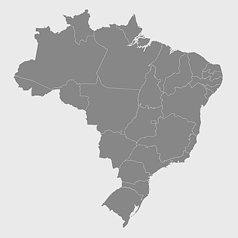
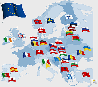
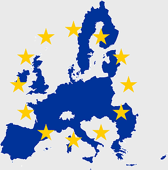
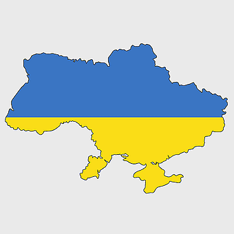
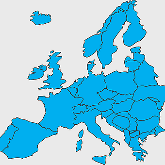
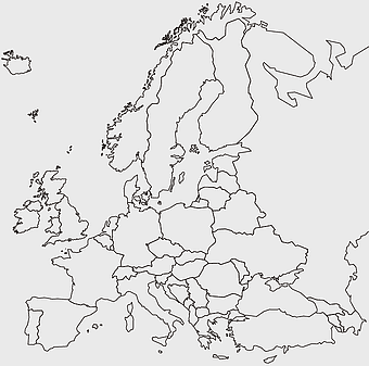
Europe map, European countries chart, digital drawing of Europe, educational European map, European geography, continental map analysis, European borders visualization, png, PNG
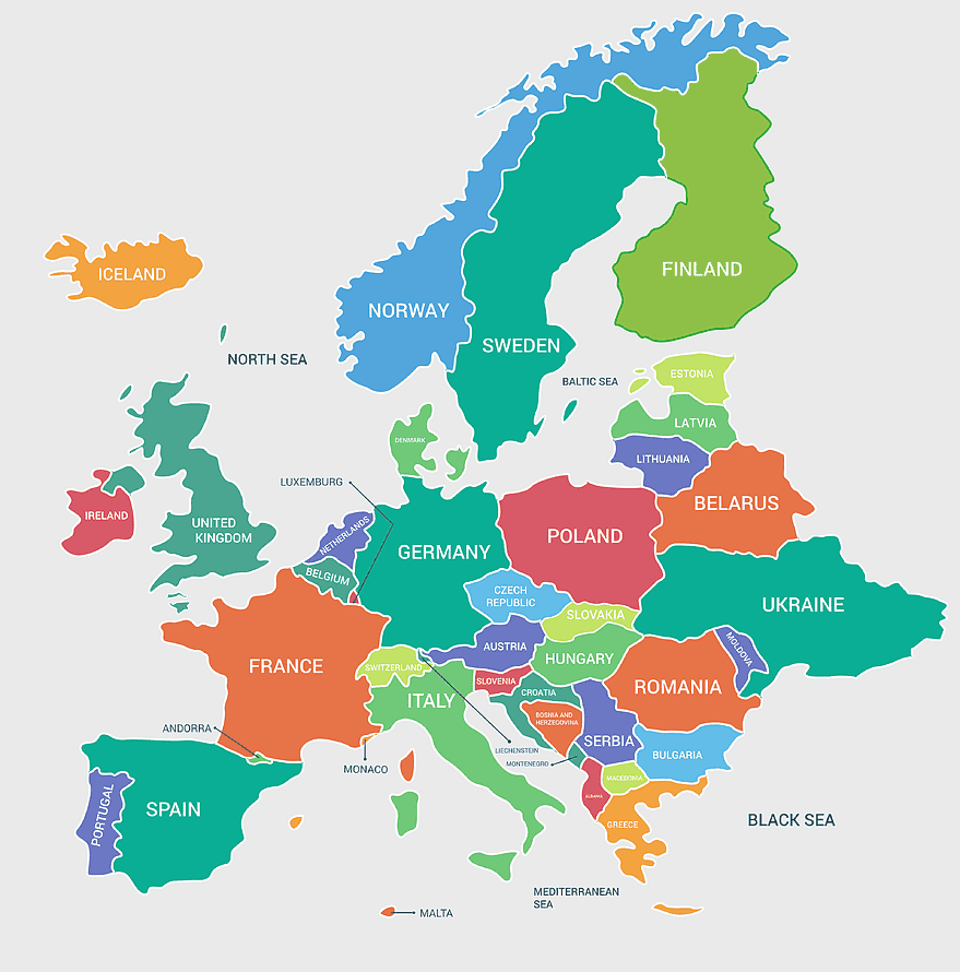
keywords
- Europe map
- European countries chart
- digital drawing of Europe
- educational European map
- European geography
- continental map analysis
- European borders visualization
- png
License: Personal use only
More related PNGs
-
1060x660px

Europe blank map, monochrome world map, black and white geography, cartography europe, political map analysis, continental borders visualization, geographic layout study -
2602x1952px

Europe political map, European globe map, world geography, European area map, European continent map, European countries outline, European map illustration -
1500x1500px

Europe Map, black and white map, silhouette map, travel world, European countries, geographic outline, continent illustration -
1437x1495px

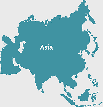
Asia continental map, Asia Europe globe, mercator projection map, blank Asia map, world geography, global cartography, continental boundaries -
2292x2334px

Flag of France Map, French Country outline, blank France map, tricolor France flag, European nation borders, French geography, national symbol design -
2206x2190px

European Union member states map, Flag of Europe, UK map, Eurozone countries, European geography, EU political boundaries, European Union membership -
1024x1024px

black and white grid, numerical digit chart, monochrome square pattern, decimal mathematics rectangle, geometric symmetry design, educational math visuals, grid-based number analysis -
692x692px

Europe map, European countries, Vatican City, Flag of Malta, geographic cartography, historical European borders, green cartographic design -
940x515px

world map, contour line, map projection, atlas, geographic visualization, cartographic design, global geography, earth representation -
742x866px

South America map, Latin America political map, blank Americas map, latino integration, South American geography, political boundaries Americas, continental map analysis -
600x600px

Europe blank map, white globe world map, Europe classical borders, white political map, European geographic outline, continental map art, blank map designs -
1463x1238px

Europe Map, blue silhouette map, travel world map, European geography, continent outline, cartographic design, regional borders -
1024x1024px

France blank map, European Union silhouette, monochrome world map, black and white country map, geopolitical illustration, international borders outline, continental geography chart -
3001x1099px

grey Indonesia map, blank globe illustration, monochrome country map, flat design travel map, Southeast Asia geography, archipelago outline, island nation cartography -
1921x2216px

Europe silhouette map, black and white Europe map, monochrome Europe globe, blank Europe map, European continent outline, geopolitical Europe map, European countries borders -
719x460px

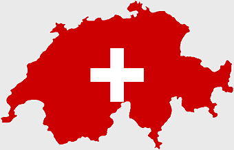
Switzerland flag map, Swiss national emblem, Swiss geography outline, flag of Switzerland, European country borders, political map of Europe, bordering nations of Switzerland -
1272x660px

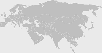
Europe and Asia map, Afro-Eurasia world map, black and white world map, United States and Europe map, global geography chart, continental boundaries illustration, international cartography design -
1280x800px

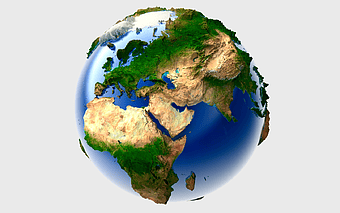
3D Earth globe, world map sphere, raised relief map, geo information system, global geography, planet earth visualization, continental landmasses -
1217x912px

Flag of China, Provinces of China, red map, national flag, Chinese geography, Asian country map, star symbols -
1095x2246px

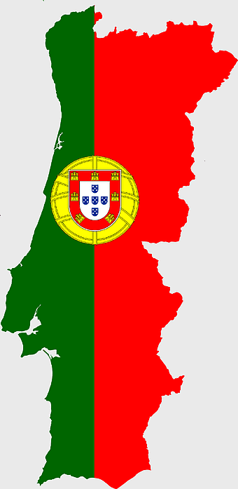
Portugal flag map, red and green flag, Flag of Portugal, national flag, Portuguese geography, Iberian Peninsula map, European country flags -
578x578px

Brazil map, black and white map, mapa polityczna, travel world, South America geography, political division, country borders -
1772x1565px

European Union map, Flag of Europe, united kingdom flag, European countries flags, European geography, international flags, world map visuals -
555x560px

European Union map, flag of Europe, blue and yellow stars, European Union citizenship, European geography, European political union, European integration -
720x720px

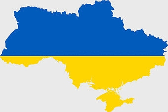
Ukraine map with flag, Ukrainian national colors, contour line of Ukraine, yellow and blue map, Ukrainian geography, Eastern European borders, Ukrainian travel guide -
440x512px

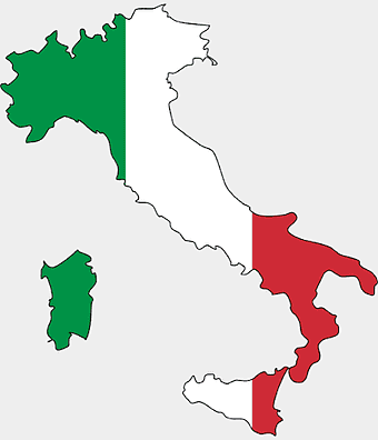
Flag of Italy, Kingdom of Italy Map, Italian Empire, map of Italy, Italian flag silhouette, boot-shaped country, European nation map -
694x709px

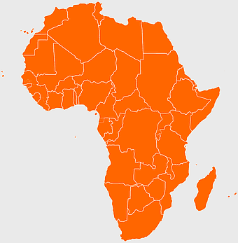
Africa map, orange Africa map, world map, Africa continent map, geographical representation, continental layout, visual geography of Africa -
640x586px

Europe blank map, European political map, black and white globe, world map pattern, geographic layout, cartographic design, continental outline -
2903x2693px

assorted-color boards, PPT Chart infographic, 3D information labels, data analysis options, visual presentation elements, infographic design templates, chart analysis tools -
7506x8000px

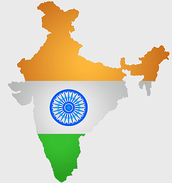
India blank map, orange India silhouette, India world map design, stock India map, Indian geography outline, map of South Asia, India political borders -
2282x834px

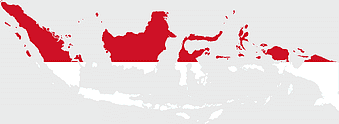
Indonesia flag map, red and white map illustration, national symbols of Indonesia, flag of Indonesia map, Indonesian geography design, Southeast Asia travel map, Asian country flags -
1000x710px

Candlestick chart pattern, Technical analysis for traders, Red and green stock bars, Open-high-low-close chart, Financial market analysis, Trading chart visualization, Stock market trend analysis -
2336x3504px

wall cracks, monochrome pattern, black and white structure, symmetry design, architectural damage, texture analysis, visual inspection, crack mapping -
720x720px

Earth Globe Illustration, World Map HD, Travel World Map, Planet Earth Grid, Global Geography, Terrestrial Sphere, Continental Atlas -
595x689px

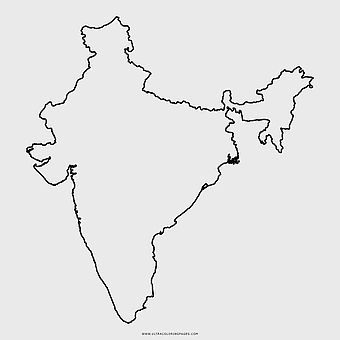
India blank map, political map of India, outline of India, white line map, geographical visualization, country borders, subcontinent layout -
4950x4950px

Europe Earth Landform, Blue Earth Globe, Earth Lithosphere Model, Europe Continent Map, Global Geography Visualization, Terrestrial Planet Features, Eurasian Landmass Representation -
1024x1024px

globe silhouette, equirectangular projection map, earth icon logo, world map projection, global geography illustration, international cartography design, planet earth visual -
2455x1318px

world map mercator projection, flat earth society globe, black and white cartography, early world maps design, global geography illustration, continental layout visualization, historical cartographic art -
500x721px

Peru political map, Lima city map, black and white world map, map of Peru, South America geography, country borders illustration, travel destination guide -
2000x1602px

Flag of Nigeria, Nigeria map outline, Nigerian national symbol, green and white design, African country borders, Nigerian geography visual, Nigerian emblem shape -
1208x1208px

European Union Map, info map Europe, European continent outline, европа карта, Geo-political boundaries visualization, Cartographic European regions, International borders depiction -
1024x576px

world map with flags, globe map design, flags of the world, world flag map, international flag map, global map illustration, world geography chart -
1024x1024px

Japan map silhouette, black and white Japan map, Japan prefectures outline, monochrome Japan map, Japanese geography illustration, Asia travel icon, country shape graphic -
1280x1280px

Flag of Spain, Spain map, national flag, red and yellow, European country flags, Iberian Peninsula, Spanish emblem design -
1200x1200px

India monochrome map, Indian silhouette map, blank India map, black and white India map, India geographic outline, India country shape, India border illustration -
700x700px

Netherlands map silhouette, blue Netherlands map, Netherlands travel map, Netherlands area map, Dutch geography, Holland cartography, European country outlines -
752x1000px

pencil infographic chart, assorted-color pencils presentation, step-by-step business process, classification chart with icons, educational infographic design, visual data representation, step guide illustration -
980x914px

Flag of Pakistan, blank map, black silhouette, monochrome map, Pakistan geography, political borders, country outline -
1800x983px

world map mercator projection, asia ocean map, flat earth globe map, robinson projection world, global geography chart, earth cartography design, world atlas illustration -
681x674px

Eastern Europe blank map, monochrome world map, black and white cartography, line art geography, European borders outline, geopolitical map design, minimalist continent illustration -
1200x630px

Indonesia flag map, red and white country illustration, Pembela Tanah Air map, Indonesian national symbol, Southeast Asia cartography, patriotic design elements, historical geography visuals -
1411x550px

Indonesia Map, blue map, travel World, aqua design, Southeast Asia geography, archipelago visualization, cartographic representation -
1600x1135px

world map illustration, mercator projection map, elegant world map design, political world map, global geography infographic, international borders visualization, earth continents layout -
2000x1315px

Flag of Bulgaria, Bulgaria map outline, Bulgarian national colors, Bulgaria flag map, European country flags, Southeastern Europe map, Eastern European travel map -
1436x1111px

bar graph illustration, growth chart template, function diagram chart, yellow bar chart, data visualization design, business growth analysis, upward trend arrow -
512x512px

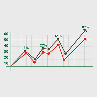
line chart data visualization, bar chart market analysis, graph trend analysis, timeline data plot, statistical infographic design, business performance metrics, financial growth chart -
563x618px

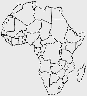
Blank Africa map, Africa world map, Blank map Africa, Africa outline, African continent map, unmarked Africa map, Africa geography chart -
675x421px

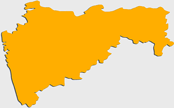
Maharashtra map, Maharashtra state outline, Maharashtra geography, Maharashtra region, India state maps, map of Indian states, Maharashtra borders, png -
3508x4961px

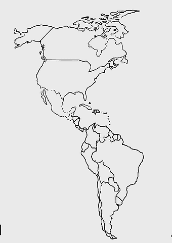
America map, Latin America outline, North America geography, South America borders, continental map, hemisphere layout, Americas cartography, png -
813x1078px

European border design, gray and blue digital illustration, geometric pattern frame, certificate border motif, abstract border art, modern frame design, digital illustration elements -
1024x585px

Indonesia map with flag, Indonesian national symbols, red and white map illustration, Flag of Indonesia overlay, Southeast Asia cartography, Indonesian geography visuals, patriotic map design -
4502x2222px

gray world map, country borders map, line drawing map, world geography map, global outline, international borders, earth divisions, png -
625x484px

five assorted-color floating bobbles, infographic chart chemical element, ppt design elements, decorative diagram elements, colorful presentation graphics, educational chart visuals, thematic infographic templates -
575x350px

Asia political map, blank Asia map, travel Asia map, top 10 Asian countries, Asian geography, Asian continent map, Asian country borders -
2290x2285px

Flag of Greece map, Greek national symbol, Greece travel world map, Greek flag overlay, Hellenic geography, Mediterranean country borders, Aegean region cartography -
720x895px

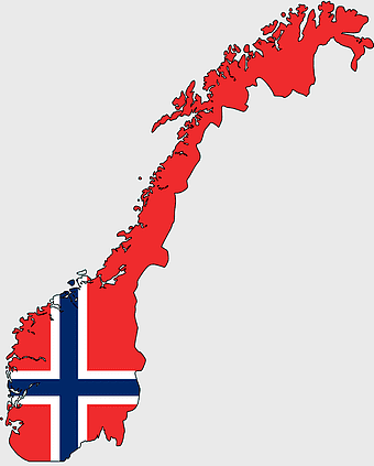
Norway blank map, Norwegian geography, flag of Norway, travel world map, Scandinavian cartography, Nordic region outline, European country borders -
1000x1000px

Ukraine map, yellow and blue, travel Ukraine, Ukrainian symbol, Eastern European country, national flag design, geopolitical region -
935x884px

business template infographic, color chart diagram, digital classification chart, multi-colored cellular chart, hexagonal data visualization, infographic design elements, technology icon layout -
3004x2002px

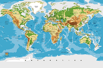
world map for nursery, Antarctica continent map, wall decal world map, physical geography map, earth visualization art, continental eco-regions illustration, global atlas design -
507x520px

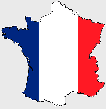
flag of France, French national flag, France map outline, European country flags, French tricolor design, French patriotic symbol, French cultural iconography -
1432x1260px

world map illustration, seven continents infographic, globe design art, cartography diagram, global geography visuals, earth layout graphics, continental layout chart -
1000x1000px

India map outline, black and white India map, India geography drawing, India map coloring book, India cartography, monochrome world map, line art country borders -
1000x755px

blue border design, creative PPT elements, square frame layout, presentation graphics, geometric shapes template, arrow flow chart, modern slide design, visual communication tools -
906x1134px

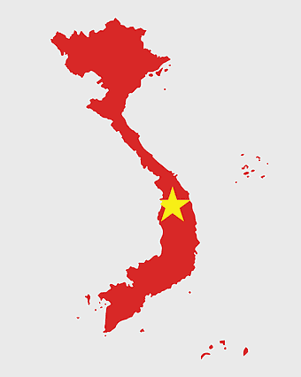
Vietnam map, red Vietnam outline, yellow star on map, Vietnamese geography, Southeast Asia cartography, country borders visualization, national emblem representation, png -
2400x1600px

Flag of Ukraine, Ukrainian national flag map, blue and yellow map, political map of Ukraine, Eastern European map design, country outline flag, Ukraine geography graphic -
1017x1438px

orange and gray frame design, vintage border business card, creative borders for flyers, certificate border patterns, abstract wave background, modern graphic elements, professional layout templates, digital marketing visuals
