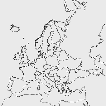
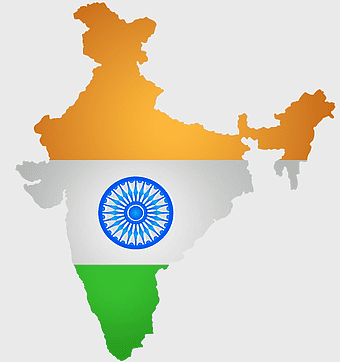
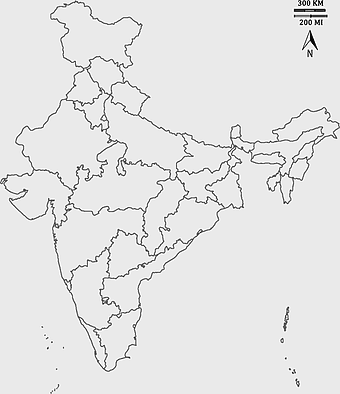
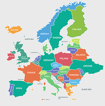
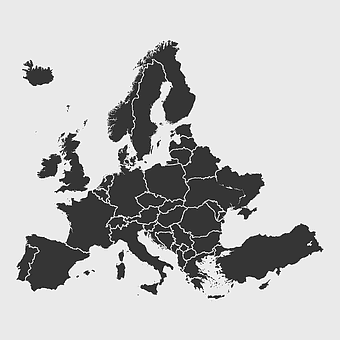
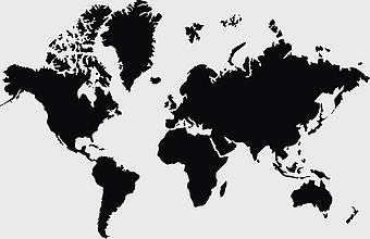
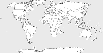
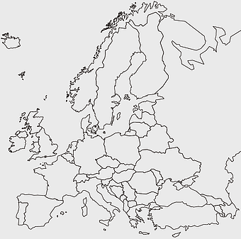
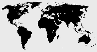
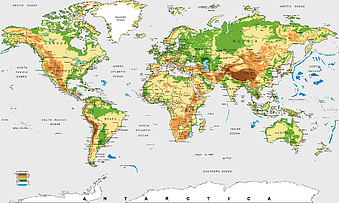
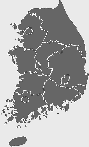
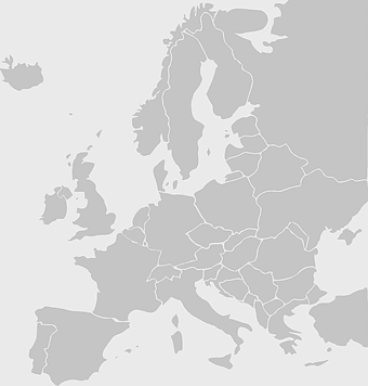
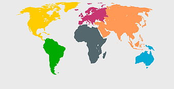
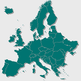
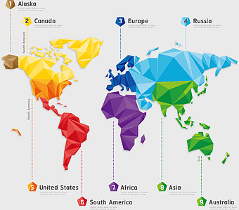
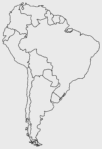
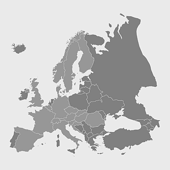
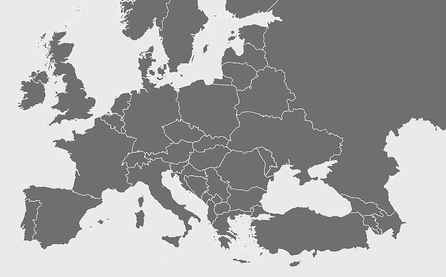
Europe blank map, monochrome world map, black and white geography, cartography europe, political map analysis, continental borders visualization, geographic layout study, PNG
keywords
- Europe blank map
- monochrome world map
- black and white geography
- cartography europe
- political map analysis
- continental borders visualization
- geographic layout study
License: Personal use only
More related PNGs
-
850x550px

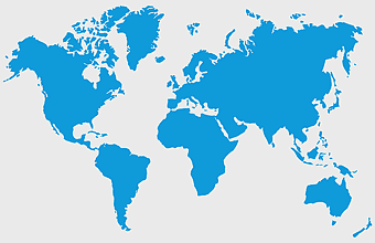
blue world map, early cartography atlas, political map collection, world map line art, global geography illustration, international map design, earth continent layout -
1000x365px

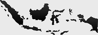
Indonesia blank map, black silhouette map, monochrome world map, outline map of Indonesia, geographical outline, travel map design, cartographic illustration -
1437x1495px

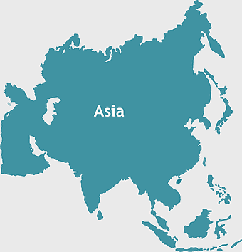
Asia continental map, Asia Europe globe, mercator projection map, blank Asia map, world geography, global cartography, continental boundaries -
940x515px

world map, contour line, map projection, atlas, geographic visualization, cartographic design, global geography, earth representation -
640x586px

Europe blank map, European political map, black and white globe, world map pattern, geographic layout, cartographic design, continental outline -
600x600px

Europe blank map, white globe world map, Europe classical borders, white political map, European geographic outline, continental map art, blank map designs -
7506x8000px

India blank map, orange India silhouette, India world map design, stock India map, Indian geography outline, map of South Asia, India political borders -
595x689px

India blank map, political map of India, outline of India, white line map, geographical visualization, country borders, subcontinent layout -
2455x1318px

world map mercator projection, flat earth society globe, black and white cartography, early world maps design, global geography illustration, continental layout visualization, historical cartographic art -
742x866px

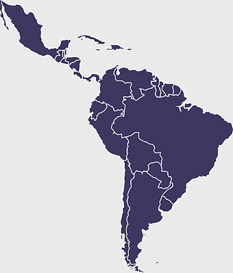
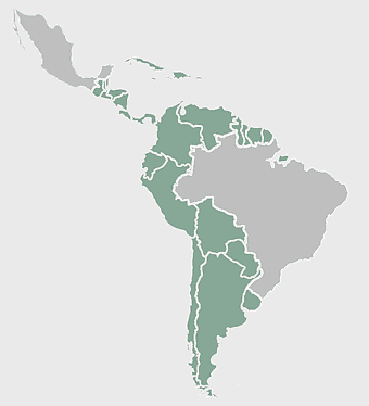
South America map, Latin America political map, blank Americas map, latino integration, South American geography, political boundaries Americas, continental map analysis -
4167x2084px

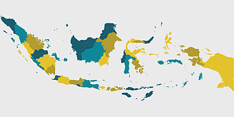
Indonesia map, flat design map, yellow and blue map, travel world map, geographic layout, island nation map, southeast asia cartography -
980x618px

black silhouette USA map, blank United States map, monochrome map of USA, travel world map USA, geographic outline of America, continental United States shape, minimalist USA cartography -
694x709px

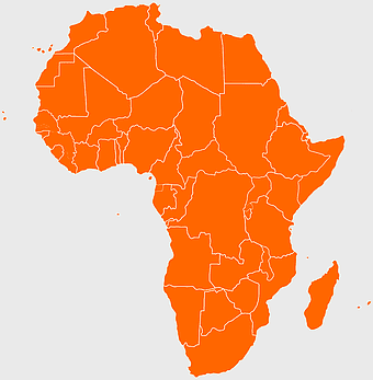
Africa map, orange Africa map, world map, Africa continent map, geographical representation, continental layout, visual geography of Africa -
1200x641px

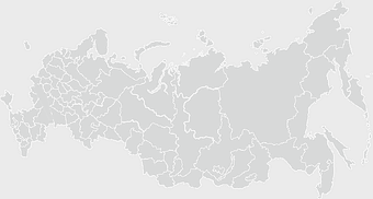
Russia blank map, black and white Russia map, monochrome Russia map, white Russia map, Russian geography, political map of Russia, Russia outline map -
3001x1099px

grey Indonesia map, blank globe illustration, monochrome country map, flat design travel map, Southeast Asia geography, archipelago outline, island nation cartography -
2339x1377px

Russia Map silhouette, black and white Russia map, blank Russia map, monochrome world map, Russian geography outline, Eurasian landmass shape, northern hemisphere cartography -
1265x1280px

Europe map, European countries chart, digital drawing of Europe, educational European map, European geography, continental map analysis, European borders visualization, png -
1024x1024px

globe silhouette, equirectangular projection map, earth icon logo, world map projection, global geography illustration, international cartography design, planet earth visual -
1600x1135px

world map illustration, mercator projection map, elegant world map design, political world map, global geography infographic, international borders visualization, earth continents layout -
1500x1500px

Europe Map, black and white map, silhouette map, travel world, European countries, geographic outline, continent illustration -
1280x580px

red and white map illustration, Flag of Indonesia Brunei Map, greater Indonesia map, blank map with flag design, Southeast Asia political map, cartographic design elements, regional geography illustration -
1200x1200px

India monochrome map, Indian silhouette map, blank India map, black and white India map, India geographic outline, India country shape, India border illustration -
700x838px

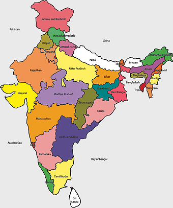
India Map illustration, India political map, blank India map, India state boundaries, Indian subcontinent geography, South Asia cartography, detailed India region map -
2336x3504px

wall cracks, monochrome pattern, black and white structure, symmetry design, architectural damage, texture analysis, visual inspection, crack mapping -
576x602px

Africa blank map, black and white continent outline, monochrome line art geography, stock Africa, geographical sketch, minimalist cartography, white background continents -
578x578px

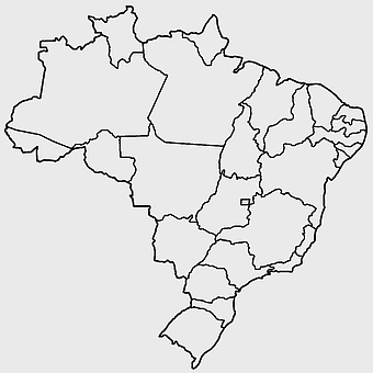
Brazil map, black and white map, mapa polityczna, travel world, South America geography, political division, country borders -
800x583px

Mexico United States border map, blank political map, black and white world map, monochrome country diagram, international geography layout, cartographic line art, travel destination atlas -
2602x1952px

Europe political map, European globe map, world geography, European area map, European continent map, European countries outline, European map illustration -
498x560px

Latin America map, South America political map, black and white Americas map, world map with Latin America, geographic layout of South America, political boundaries of Latin America, monochrome continent map -
1920x2400px

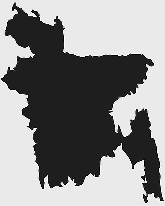
Bangladesh silhouette map, black and white Bangladesh map, blank Bangladesh map, monochrome Bangladesh map, Bangladesh geographic outline, Bangladesh country shape, Bangladesh political borders -
1272x660px

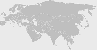
Europe and Asia map, Afro-Eurasia world map, black and white world map, United States and Europe map, global geography chart, continental boundaries illustration, international cartography design -
1502x1658px

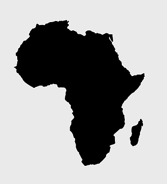
Africa silhouette map, black and white Africa map, monochrome Africa graphic, blank Africa map, African continent outline, geographical Africa shape, Africa continent -
800x738px

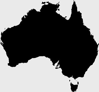
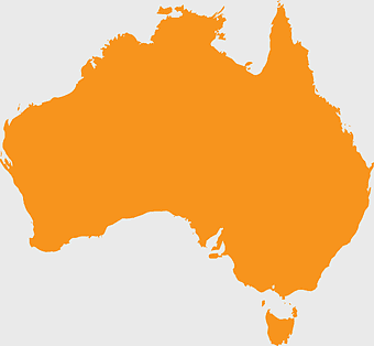
Australia monochrome map, black silhouette world map, Australia blank map, geography atlas, Australian continent outline, global monochrome cartography, earth silhouette illustration -
2953x1911px

world map silhouette, monochrome world map, black and white globe, raster world map, global atlas design, earth map illustration, political map outline -
1428x732px

world map mercator projection, monochrome political map, south-up world map, blank map for coloring, global geography illustration, international borders outline, cartographic design elements -
1000x526px

gray world map, dot distribution map, monochrome globe, black and white cartography, global geography illustration, international point map, world atlas design -
681x674px

Eastern Europe blank map, monochrome world map, black and white cartography, line art geography, European borders outline, geopolitical map design, minimalist continent illustration -
900x900px

Nizamabad District Map, Telangana State Outline, India Political Map, Yellow Region Highlight, Geographical Borders, Administrative Division, Regional Cartography -
1280x689px

world map drawing, monochrome globe art, white line tattoo, blank map stencil, global geography outline, earth continents sketch, minimalist cartography design -
1200x1200px

world map, computer-generated world map, black and white world map, пробковая карта мира, global geography illustration, international map design, earth continents outline -
600x600px

Brazil blank map, blank Brazil map, blue world map, stock Brazil diagram, geographical layout, country outline, South America borders -
359x768px

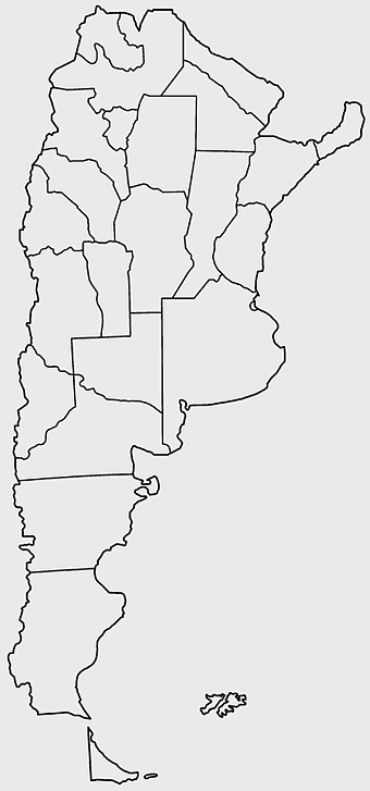
Argentina blank map, Argentine Northwest geography, black and white outline, coloring book map, South American cartography, silhouette map, travel atlas design -
1280x800px

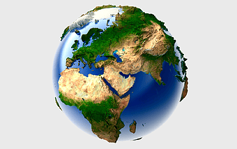
3D Earth globe, world map sphere, raised relief map, geo information system, global geography, planet earth visualization, continental landmasses -
704x980px

geolocation symbol, black and white location icon, map location marker, travel world icon, navigation pin, digital mapping tool, geographic positioning system -
2000x2000px

black Brazil map illustration, Flag of Brazil blank map, black and white cartography, topo map of Brazil, geographic outline of Brazil, line art map design, early world map style -
2400x1228px

Africa globe map, world map continent, black and white atlas, natural Earth cartography, global geography illustration, continental landmass depiction, earth's surface visualization -
980x914px

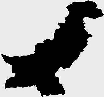
Flag of Pakistan, blank map, black silhouette, monochrome map, Pakistan geography, political borders, country outline -
684x980px

map location icon, black and white location symbol, travel world map art, google maps logo, navigation pin graphic, destination marker design, geographic pointer illustration -
1024x585px

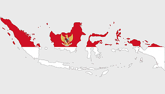
Indonesia map with flag, Indonesian national symbols, red and white map illustration, Flag of Indonesia overlay, Southeast Asia cartography, Indonesian geography visuals, patriotic map design -
597x656px

South America map, Latin America political map, blank Americas map, travel world map, international borders, geographic regions, continental overview -
2116x2552px

South America blank map, monochrome world map, Latin America atlas, black and white Americas, geopolitical map, continental outline, geographical chart -
596x550px

Australia globe map, flag of Australia, orange world map, Australia geography, global cartography, continental mapping, geographical illustration -
3508x4961px

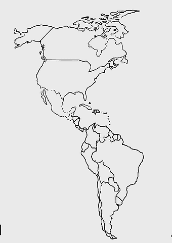
America map, Latin America outline, North America geography, South America borders, continental map, hemisphere layout, Americas cartography, png -
500x721px

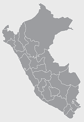
Peru political map, Lima city map, black and white world map, map of Peru, South America geography, country borders illustration, travel destination guide -
811x342px

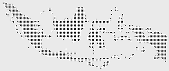
world map Indonesia, monochrome globe, black and white map, atlas diagram, global geography, cartographic design, international cartography -
4167x2233px

black and white world map, monochrome global silhouette, digital world atlas, black map outline, planetary geography, international cartography, earth chart graphics -
5136x3072px

Antarctica map HD, Map of the world exquisite, world Cup travel, plate world map, global geographical visualization, high-resolution world atlas, seven continents cartography -
446x729px

south Korean Presidential Election 1967 map, Seoul black and white silhouette, Korean Peninsula monochrome illustration, South Korea election geography, political history of Korea, historical election visuals, Asian political cartography -
573x600px

Eastern Europe Blank map, European route E15, monochrome map, mercator Projection, geographic diagram, international road network, black and white cartography -
2000x1022px

world map continents, robinson projection map, blank world map, travel world map, global geography, earth atlas, international borders -
1200x638px

world map, globe, political map, Hereford Mappa Mundi, global geography, cartography, international atlas -
692x692px

Europe map, European countries, Vatican City, Flag of Malta, geographic cartography, historical European borders, green cartographic design -
1432x1260px

world map illustration, seven continents infographic, globe design art, cartography diagram, global geography visuals, earth layout graphics, continental layout chart -
882x1280px

South America map coloring page, Latin America blank map, monochrome world map, black and white continent outline, educational geography illustration, printable line art map, travel world map design -
1213x512px

blue world map, Mercator Projection map, world geography illustration, mapa Mundi drawing, global cartography, international atlas, earth visualization -
500x500px

Maharashtra blank map, black and white silhouette, travel world map, stock map image, geographic outline, state boundary illustration, cartographic design -
1100x479px

white and teal island illustration, United States continent map, beautiful world map design, seven continents map, global cartography art, 3D world geography, international travel map -
550x587px

Brazil map, world map, blank map, travel world, geometric map design, South America geography, political map layout -
1024x377px

Flag of Indonesia Map, black and white map, Indonesia line art, monochrome travel map, Southeast Asia geography, archipelago illustration, political boundaries -
544x488px

Ukraine map silhouette, black and white Ukraine map, Ukrainian fauna map, travel Ukraine map, geographic outline of Ukraine, Ukrainian landscape illustration, Eastern European cartography -
2000x2729px

Bangladesh blank map, districts of Bangladesh, division of Bangladesh, black and white map, geographical outline, administrative regions, country borders -
1024x1024px

France blank map, European Union silhouette, monochrome world map, black and white country map, geopolitical illustration, international borders outline, continental geography chart -
800x700px

Minsk blank map, Flag of Belarus, OpenStreetMap map, black and white geography, Belarusian political divisions, European cartography, monochrome country outline -
993x646px

Russia map silhouette, blank Russia map, Russian geography outline, black and white Russia outline, Eurasian region borders, political map of Europe and Asia, Slavic states boundaries -
1260x750px

gray world map, presentation slide, atlas collection, monochrome globe, global geography, visual cartography, global navigation
