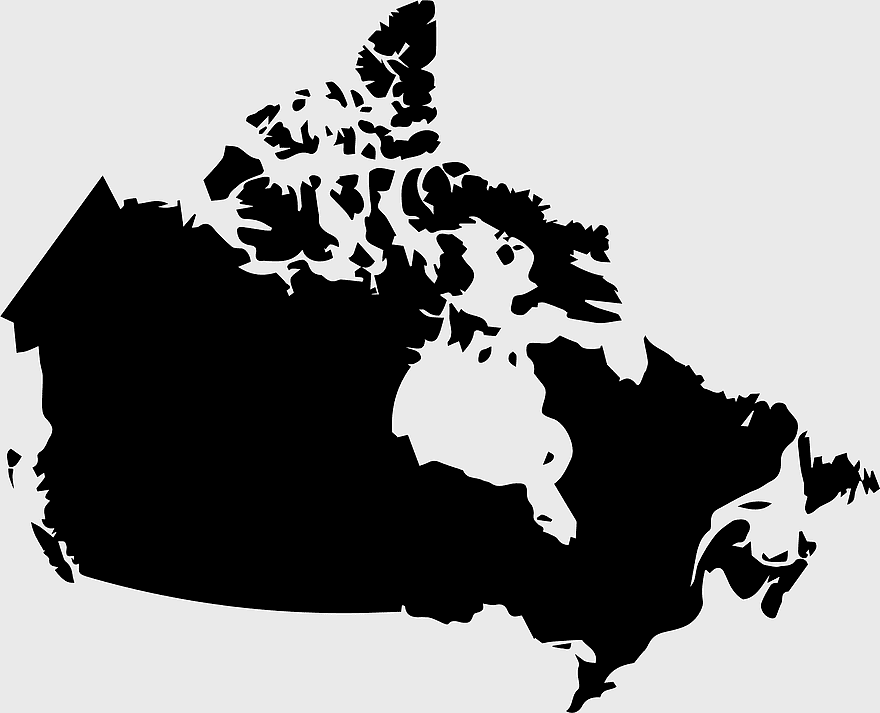
Canada map silhouette, black and white Canada map, Canadian geography outline, monochrome Canada map, Canadian political boundaries, North American cartography, Canadian territorial shape, PNG
keywords
- Canada map silhouette
- black and white Canada map
- Canadian geography outline
- monochrome Canada map
- Canadian political boundaries
- North American cartography
- Canadian territorial shape
License: Personal use only
More related PNGs
-
1000x365px

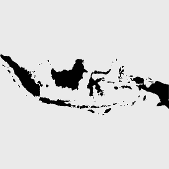
Indonesia blank map, black silhouette map, monochrome world map, outline map of Indonesia, geographical outline, travel map design, cartographic illustration -
892x906px

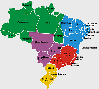
Brazil regions map, blank Brazil map, political map of Brazil, ecoregions of Brazil, South American geography, Brazilian states outline, map of Brazilian territories -
850x550px

blue world map, early cartography atlas, political map collection, world map line art, global geography illustration, international map design, earth continent layout -
870x980px

North America silhouette, black and white map, United States and Canada outline, Geography of North America, North American continent map, monochrome world travel, Western Hemisphere cartography -
2339x1377px

Russia Map silhouette, black and white Russia map, blank Russia map, monochrome world map, Russian geography outline, Eurasian landmass shape, northern hemisphere cartography -
359x768px

Argentina blank map, Argentine Northwest geography, black and white outline, coloring book map, South American cartography, silhouette map, travel atlas design -
1979x1675px

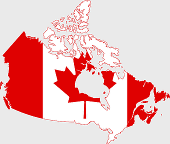
Canada flag map, Canadian maple leaf design, national flag of Canada, scalable Canada map, Canadian geography illustration, patriotic Canadian symbols, Canadian cultural icons -
1200x641px

Russia blank map, black and white Russia map, monochrome Russia map, white Russia map, Russian geography, political map of Russia, Russia outline map -
2006x1259px

flag of Canada, maple leaf illustration, Canada map, red and white flag, Canadian national symbol, patriotic design, North American geography -
700x838px

India Map illustration, India political map, blank India map, India state boundaries, Indian subcontinent geography, South Asia cartography, detailed India region map -
3001x1099px

grey Indonesia map, blank globe illustration, monochrome country map, flat design travel map, Southeast Asia geography, archipelago outline, island nation cartography -
1062x399px

Indonesian Map, red map outline, travel World, cartography, Southeast Asia geography, archipelago nation, island nation map -
1001x555px

Russia political map, карта россии, world map cartography, mapa polityczna Russia, Russian federation regions, geopolitical boundaries, Eurasian territories -
742x866px

South America map, Latin America political map, blank Americas map, latino integration, South American geography, political boundaries Americas, continental map analysis -
7506x8000px

India blank map, orange India silhouette, India world map design, stock India map, Indian geography outline, map of South Asia, India political borders -
900x900px

Karnataka Legislative Assembly election map, India political map, yellow Karnataka outline, Karnataka election results map, Indian state boundaries, regional election visualization, political geography of Karnataka -
1024x377px

Flag of Indonesia Map, black and white map, Indonesia line art, monochrome travel map, Southeast Asia geography, archipelago illustration, political boundaries -
2953x1911px

world map silhouette, monochrome world map, black and white globe, raster world map, global atlas design, earth map illustration, political map outline -
1024x1024px

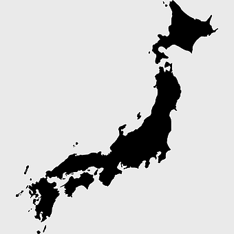
Japan map silhouette, black and white Japan map, Japan prefectures outline, monochrome Japan map, Japanese geography illustration, Asia travel icon, country shape graphic -
595x842px

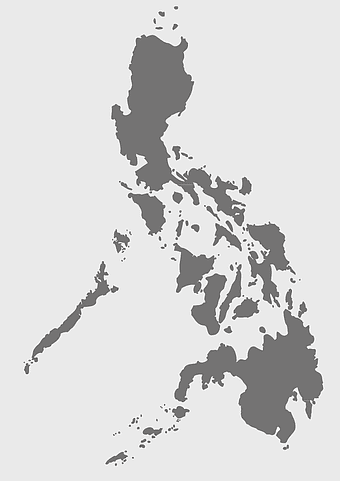
Philippines map silhouette, monochrome Philippines map, black and white Philippines map, Philippines map art, Filipino geography, Philippine archipelago outline, Southeast Asia cartography -
1024x1024px

Flag of Indonesia Map, black silhouette map, komodo travel, monochrome Indonesia map, Southeast Asia geography, archipelago nation, island nation outline -
1502x1658px

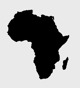
Africa silhouette map, black and white Africa map, monochrome Africa graphic, blank Africa map, African continent outline, geographical Africa shape, Africa continent -
2937x2645px

Brazil regions map, South Region Brazil geography, Southeast Region Brazil political division, North Region Brazil ecoregion, Brazilian state boundaries, map of Brazilian territories, Brazilian regional subdivisions -
800x738px

Australia monochrome map, black silhouette world map, Australia blank map, geography atlas, Australian continent outline, global monochrome cartography, earth silhouette illustration -
1024x1024px

globe silhouette, equirectangular projection map, earth icon logo, world map projection, global geography illustration, international cartography design, planet earth visual -
1060x660px

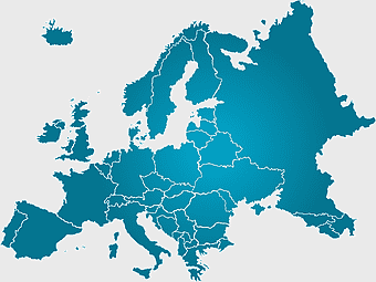
Europe blank map, monochrome world map, black and white geography, cartography europe, political map analysis, continental borders visualization, geographic layout study -
1200x1200px

India monochrome map, Indian silhouette map, blank India map, black and white India map, India geographic outline, India country shape, India border illustration -
2400x2400px

north arrow, compass direction, black and white diagram, monochrome symbol, directional indicator, geometric shape, navigation icon, minimalist design -
800x800px

Dirt Texture, monochrome texture, white texture, black and white texture, texture mapping -
1920x2400px

Bangladesh silhouette map, black and white Bangladesh map, blank Bangladesh map, monochrome Bangladesh map, Bangladesh geographic outline, Bangladesh country shape, Bangladesh political borders -
4167x2233px

black and white world map, monochrome global silhouette, digital world atlas, black map outline, planetary geography, international cartography, earth chart graphics -
2400x1800px

Maharashtra Map illustration, UK geography, monochrome area diagrams, line art states, geographic boundary outlines, regional cartography design, geopolitical zone mapping -
1280x580px

red and white map illustration, Flag of Indonesia Brunei Map, greater Indonesia map, blank map with flag design, Southeast Asia political map, cartographic design elements, regional geography illustration -
1200x1200px

world map, computer-generated world map, black and white world map, пробковая карта мира, global geography illustration, international map design, earth continents outline -
1000x1109px

Morocco blank map, Flag of Morocco, French protectorate in Morocco, Ifni Morocco, Moroccan political map, North African cartography, Historical Moroccan territories -
980x618px

black silhouette USA map, blank United States map, monochrome map of USA, travel world map USA, geographic outline of America, continental United States shape, minimalist USA cartography -
980x914px

Flag of Pakistan, blank map, black silhouette, monochrome map, Pakistan geography, political borders, country outline -
544x488px

Ukraine map silhouette, black and white Ukraine map, Ukrainian fauna map, travel Ukraine map, geographic outline of Ukraine, Ukrainian landscape illustration, Eastern European cartography -
446x729px

south Korean Presidential Election 1967 map, Seoul black and white silhouette, Korean Peninsula monochrome illustration, South Korea election geography, political history of Korea, historical election visuals, Asian political cartography -
576x602px

Africa blank map, black and white continent outline, monochrome line art geography, stock Africa, geographical sketch, minimalist cartography, white background continents -
700x700px

India silhouette map, India map drawing, India world map, India map design, Indian subcontinent outline, South Asia map illustration, India geographic shape -
498x560px

Latin America map, South America political map, black and white Americas map, world map with Latin America, geographic layout of South America, political boundaries of Latin America, monochrome continent map -
512x512px

WhatsApp logo, monochrome, black silhouette, mobile phones, icon, symbol, black and white, area -
4013x1478px

Flag of Indonesia map, red and white Indonesia illustration, Indonesia globe map, pembela Tanah Air symbol, Southeast Asia cartography, national emblem design, Indonesian territorial outline -
1437x1495px

Asia continental map, Asia Europe globe, mercator projection map, blank Asia map, world geography, global cartography, continental boundaries -
734x815px

India silhouette map, black and white India map, monochrome India outline, India map, geographical representation of India, country shape illustration, Indian subcontinent outline -
1280x689px

world map drawing, monochrome globe art, white line tattoo, blank map stencil, global geography outline, earth continents sketch, minimalist cartography design -
1000x526px

gray world map, dot distribution map, monochrome globe, black and white cartography, global geography illustration, international point map, world atlas design -
993x646px

Russia map silhouette, blank Russia map, Russian geography outline, black and white Russia outline, Eurasian region borders, political map of Europe and Asia, Slavic states boundaries -
500x500px

Maharashtra blank map, black and white silhouette, travel world map, stock map image, geographic outline, state boundary illustration, cartographic design -
2602x1952px

Europe political map, European globe map, world geography, European area map, European continent map, European countries outline, European map illustration -
1024x585px

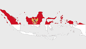
Indonesia map with flag, Indonesian national symbols, red and white map illustration, Flag of Indonesia overlay, Southeast Asia cartography, Indonesian geography visuals, patriotic map design -
3508x4961px

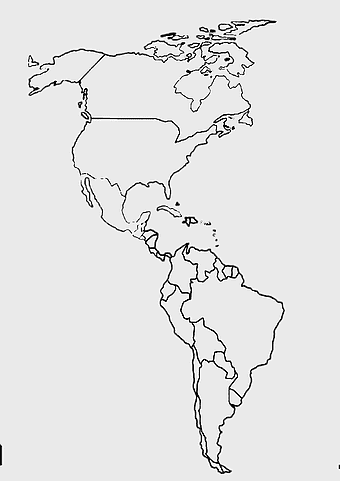
America map, Latin America outline, North America geography, South America borders, continental map, hemisphere layout, Americas cartography, png -
512x512px

globe silhouette, monochrome earth symbol, black and white world icon, earth globe computer graphic, global geography illustration, planet earth outline, universal world map design -
633x481px

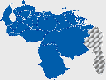
Venezuela map, world map, travel Venezuela, flag of Venezuela, South America geography, political boundaries, cartography design -
800x700px

Minsk blank map, Flag of Belarus, OpenStreetMap map, black and white geography, Belarusian political divisions, European cartography, monochrome country outline -
500x1220px

Israel-Palestine silhouette, Spiritual Guidance Australia logo, black and white map outline, monochrome country shape, geopolitical region graphic, spiritual guidance symbol, Middle East territory illustration -
900x900px

Nizamabad District Map, Telangana State Outline, India Political Map, Yellow Region Highlight, Geographical Borders, Administrative Division, Regional Cartography -
512x512px

globe silhouette, monochrome world map, black and white earth, computer icons globe, global geography, planet outline, digital cartography -
578x578px

Brazil map, black and white map, mapa polityczna, travel world, South America geography, political division, country borders -
1024x1024px

Philippines map silhouette, black and white map, travel world map, monochrome design, Filipino geography, island nation outline, archipelago shape -
1137x1137px

China monochrome map, China silhouette, blank China map, provinces of China, Chinese geography outline, China political regions, China cartography design -
1024x681px

world map silhouette, black and white world map, monochrome world map, world map countries, global geography illustration, international map outline, earth continents graphic -
1607x1920px

Italy silhouette map, black and white Italy outline, monochrome Italy boot shape, line art Italy geography, Italian travel destinations, European country borders, Mediterranean region cartography -
5008x6935px

texture mapping, retro paper, particles background, monochrome design, shading texture, granule pattern, black and white, superimposed texture, old building texture, adobe fireworks texture -
1644x2400px

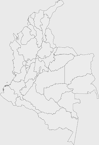
Colombia map, monochrome map, black and white map, travel world map, South America geography, political boundaries, regional divisions -
1200x1584px

Colombia departments map, Putumayo Department outline, Boyacá Department geography, blank map of Colombia, Colombian regional boundaries, South American departmental divisions, cultural regions of Colombia -
555x802px

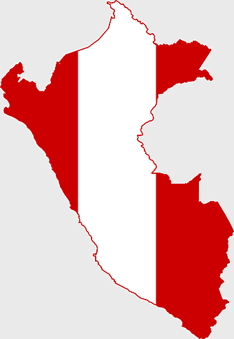
Peru flag map, flag of Peru, Peru map outline, red and white flag, South American country flags, national symbol illustration, geographic boundary design -
811x342px

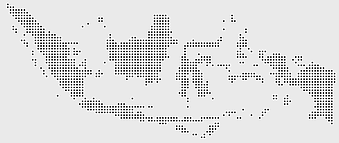
world map Indonesia, monochrome globe, black and white map, atlas diagram, global geography, cartographic design, international cartography -
650x835px

geometric abstract pattern, black and white, shading texture, three-dimensional blocks, monochrome design, abstract background, geometric shapes, perspective view -
500x500px

globe monochrome silhouette, equirectangular projection map, world map metal powder, black and white earth, global geography illustration, cartographic design, monochromatic planet image -
943x1091px

blank India map, states and territories of India outline, monochrome Indian political map, central India geography, Indian borderlines illustration, subcontinental regions layout, location markers on India无声無息无声无息无声无息China -
1050x1200px

monochrome world map, globe silhouette, black and white earth, planet sphere, global cartography, international geography, universal atlas -
1024x838px

American flag map, USA patriotic banner, United States flag design, travel world USA, American stars and stripes, USA flag silhouette, American flag geography -
1280x625px

Tokat Province map, Provinces of Turkey black and white, Istanbul region outline, Amasya location on map, Turkish geography illustration, blank Turkey provinces chart, Black Sea region cartography
