Mexico United States border map, blank political map, black and white world map, monochrome country diagram, international geography layout, cartographic line art, travel destination atlas, PNG free download
Mexico United States border map, blank political map, black and white world map, monochrome country diagram, international geography layout, cartographic line art, travel destination atlas
More related PNGs
1000x365pxIndonesia blank map, black silhouette map, monochrome world map, outline map of Indonesia, geographical outline, travel map design, cartographic illustration
980x960pxblack and white location icon, geolocation symbol, map pointer, travel world icons, navigation marker, digital mapping, location pin graphic, destination indicator
850x550pxblue world map, early cartography atlas, political map collection, world map line art, global geography illustration, international map design, earth continent layout
1000x1000pxMexicou2013United States border Drawing, vintage frame, monochrome art, black and white border, geometric pattern design, traditional textile motif, ornamental line art
1280x580pxred and white map illustration, Flag of Indonesia Brunei Map, greater Indonesia map, blank map with flag design, Southeast Asia political map, cartographic design elements, regional geography illustration
3001x1099pxgrey Indonesia map, blank globe illustration, monochrome country map, flat design travel map, Southeast Asia geography, archipelago outline, island nation cartography
684x980pxmap location icon, black and white location symbol, travel world map art, google maps logo, navigation pin graphic, destination marker design, geographic pointer illustration
7506x8000pxIndia blank map, orange India silhouette, India world map design, stock India map, Indian geography outline, map of South Asia, India political borders
1100x569pxworld map illustration, dot distribution map, seven continents map, travel around the world, global connectivity, international routes, world geography diagram
1280x801pxFlag of the United States Map, national Flag of USA, travel World with US flag, geography of the United States, American patriotic symbols, USA map design, stars and stripes layout
1024x768pxborder design, white rectangle frame, black and white desktop background, monochrome line art, minimalist layout, geometric shapes, abstract borders
1200x1200pxworld map, computer-generated world map, black and white world map, пробковая карта мира, global geography illustration, international map design, earth continents outline
2400x1190pxworld map, blank map, natural Earth, global geography, earth continents, international atlas
1427x845pxworld map, flat design map, cartography globe, geography map, global travel map, earth atlas, international map design
2953x1911pxworld map silhouette, monochrome world map, black and white globe, raster world map, global atlas design, earth map illustration, political map outline
2640x1674px7 continent world map, color world map, flat world map, world map diagram, global geography map, international travel map, world map infographic
1024x768pxirregular border texture, monochrome frame design, black and white pattern, texture mapping for products, abstract line art background, geometric shape pattern, seamless pattern design
1200x1200pxIndia monochrome map, Indian silhouette map, blank India map, black and white India map, India geographic outline, India country shape, India border illustration
1200x641pxRussia blank map, black and white Russia map, monochrome Russia map, white Russia map, Russian geography, political map of Russia, Russia outline map
578x578pxBrazil map, black and white map, mapa polityczna, travel world, South America geography, political division, country borders
660x660pxglobe, world map, United States, sphere, global geography, earth atlas, international continents
1024x838pxAmerican flag map, USA patriotic banner, United States flag design, travel world USA, American stars and stripes, USA flag silhouette, American flag geography
595x689pxIndia blank map, political map of India, outline of India, white line map, geographical visualization, country borders, subcontinent layout
500x500pxglobe monochrome silhouette, equirectangular projection map, world map metal powder, black and white earth, global geography illustration, cartographic design, monochromatic planet image
1024x1024pxJapan map silhouette, black and white Japan map, Japan prefectures outline, monochrome Japan map, Japanese geography illustration, Asia travel icon, country shape graphic
1500x1500pxEurope Map, black and white map, silhouette map, travel world, European countries, geographic outline, continent illustration
1100x479pxwhite and teal island illustration, United States continent map, beautiful world map design, seven continents map, global cartography art, 3D world geography, international travel map
1600x1135pxworld map illustration, mercator projection map, elegant world map design, political world map, global geography infographic, international borders visualization, earth continents layout
359x768pxArgentina blank map, Argentine Northwest geography, black and white outline, coloring book map, South American cartography, silhouette map, travel atlas design
980x618pxblack silhouette USA map, blank United States map, monochrome map of USA, travel world map USA, geographic outline of America, continental United States shape, minimalist USA cartography
1000x526pxgray world map, dot distribution map, monochrome globe, black and white cartography, global geography illustration, international point map, world atlas design
1060x660pxEurope blank map, monochrome world map, black and white geography, cartography europe, political map analysis, continental borders visualization, geographic layout study
1024x377pxFlag of Indonesia Map, black and white map, Indonesia line art, monochrome travel map, Southeast Asia geography, archipelago illustration, political boundaries
2455x1318pxworld map mercator projection, flat earth society globe, black and white cartography, early world maps design, global geography illustration, continental layout visualization, historical cartographic art
500x721pxPeru political map, Lima city map, black and white world map, map of Peru, South America geography, country borders illustration, travel destination guide
2000x1022pxworld map continents, robinson projection map, blank world map, travel world map, global geography, earth atlas, international borders
500x500pxMaharashtra blank map, black and white silhouette, travel world map, stock map image, geographic outline, state boundary illustration, cartographic design
1428x732pxworld map mercator projection, monochrome political map, south-up world map, blank map for coloring, global geography illustration, international borders outline, cartographic design elements
624x630pxEarth Globe Sketch, black and white globe drawing, monochrome world map illustration, line art earth diagram, global geography sketch, planet earth outline, terrestrial globe artwork
2339x1377pxRussia Map silhouette, black and white Russia map, blank Russia map, monochrome world map, Russian geography outline, Eurasian landmass shape, northern hemisphere cartography
512x512pxglobe silhouette, monochrome earth symbol, black and white world icon, earth globe computer graphic, global geography illustration, planet earth outline, universal world map design
811x342pxworld map Indonesia, monochrome globe, black and white map, atlas diagram, global geography, cartographic design, international cartography
1920x2400pxBangladesh silhouette map, black and white Bangladesh map, blank Bangladesh map, monochrome Bangladesh map, Bangladesh geographic outline, Bangladesh country shape, Bangladesh political borders
800x738pxAustralia monochrome map, black silhouette world map, Australia blank map, geography atlas, Australian continent outline, global monochrome cartography, earth silhouette illustration
882x1280pxSouth America map coloring page, Latin America blank map, monochrome world map, black and white continent outline, educational geography illustration, printable line art map, travel world map design
1813x2400pxtext box frame background, black and white rectangle design, border frames for documents, monochrome symmetry template, line art borders, geometric frame patterns, minimalist text box layouts
600x600pxBrazil blank map, blank Brazil map, blue world map, stock Brazil diagram, geographical layout, country outline, South America borders
800x465pxmonochrome world map, mercator projection silhouette, black and white globe, early world maps, global geography illustration, cartographic design, vintage map aesthetics
1024x681pxworld map silhouette, black and white world map, monochrome world map, world map countries, global geography illustration, international map outline, earth continents graphic
498x560pxLatin America map, South America political map, black and white Americas map, world map with Latin America, geographic layout of South America, political boundaries of Latin America, monochrome continent map
1280x689pxworld map drawing, monochrome globe art, white line tattoo, blank map stencil, global geography outline, earth continents sketch, minimalist cartography design
688x838pxSouth America blank map, Central America monochrome map, Latin America line art, Americas geography illustration, political map of South America, educational map drawing, travel map of Americas
1500x804pxblank world map, black silhouette map, mollweide projection map, monochrome world wallchart, global geography poster, flat earth logo, high-contrast atlas design
3467x1890pxblue world map, sinusoidal projection map, early world maps, travel around the world, global geography, cartographic design, earth atlas
799x334pxworld map silhouette, black and white globe decal, monochrome world map, blank map wall art, global geography decor, earth outline sticker, international atlas design
4167x2233pxblack and white world map, monochrome global silhouette, digital world atlas, black map outline, planetary geography, international cartography, earth chart graphics
1767x1147pxworld map blue, globe projection, mercator scale, topojson geography, global cartography, earth atlas, international borders
2000x2729pxBangladesh blank map, districts of Bangladesh, division of Bangladesh, black and white map, geographical outline, administrative regions, country borders
1247x1280pxglobe line art, monochrome globe drawing, earth planet illustration, spherical symmetry, geometric sphere design, minimalist globe icon, black and white world map
980x914pxFlag of Pakistan, blank map, black silhouette, monochrome map, Pakistan geography, political borders, country outline
943x1091pxblank India map, states and territories of India outline, monochrome Indian political map, central India geography, Indian borderlines illustration, subcontinental regions layout, location markers on India无声無息无声无息无声无息China
576x602pxAfrica blank map, black and white continent outline, monochrome line art geography, stock Africa, geographical sketch, minimalist cartography, white background continents
640x640pxflags of South America map, Latin America country flags, South America blank map, flags of the Americas, South American travel destinations, Andean nation symbols, Mercosur member states
1656x2282pxBangladesh blank map, green map outline, mercator projection map, travel world map, geographic region, country borders, cartographic design
1600x1000pxIndia silhouette map, black and white India map, India political map, India map collection, geographical outline of India, country borders of India, South Asia map illustration
1200x638pxworld map, globe, political map, Hereford Mappa Mundi, global geography, cartography, international atlas
1175x580pxWorld map dot distribution, black and white globe, dotted line geography, monochrome cartography, global point map, earth diagram illustration, world atlas design
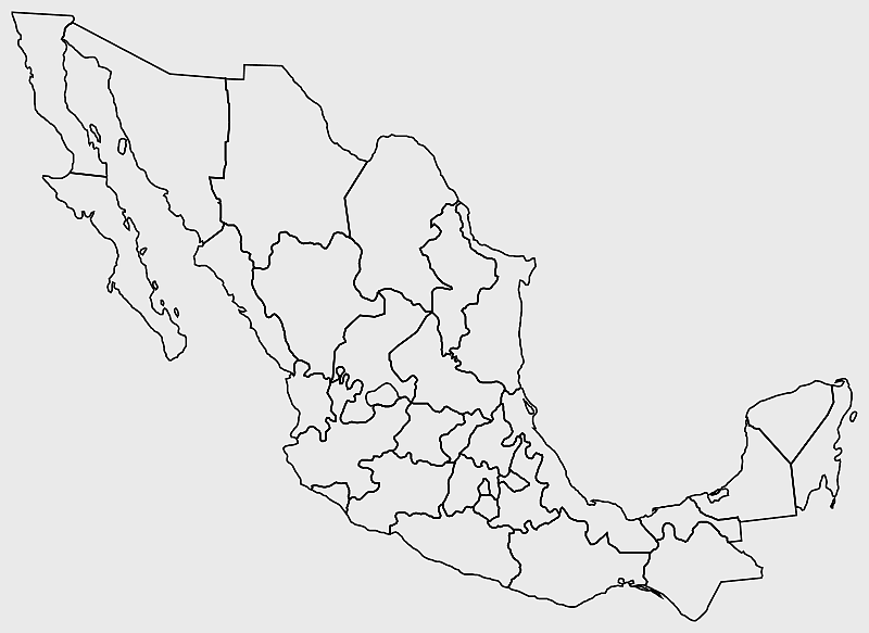
700x700pxMexico silhouette map, black and white Mexico map, monochrome Mexico outline, line art Mexico, Mexican geography illustration, travel Mexico graphic, map art design
1024x1024pxRajasthan map, blue map outline, travel world map, blank map template, geographical region, state boundary, cartographic design
640x586pxEurope blank map, European political map, black and white globe, world map pattern, geographic layout, cartographic design, continental outline
2290x2285pxFlag of Greece map, Greek national symbol, Greece travel world map, Greek flag overlay, Hellenic geography, Mediterranean country borders, Aegean region cartography
2400x1392pxUnited States blank map, U.S. state outline, black and white map, geography line art, political map of America, educational map design, USA state borders illustration
1463x1238pxEurope Map, blue silhouette map, travel world map, European geography, continent outline, cartographic design, regional borders
600x539pxglobe line art, monochrome world map, black and white sphere, globe symmetry, global grid illustration, earth meridian design, cartographic line drawing