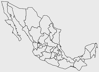
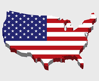
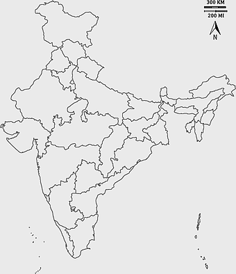
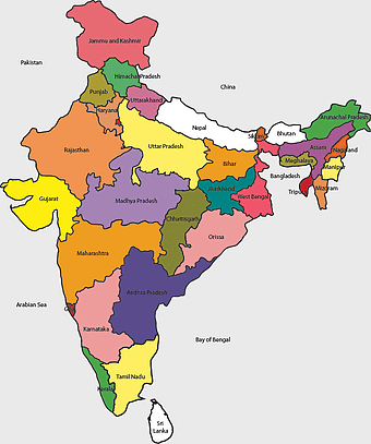
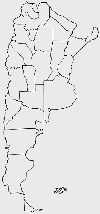
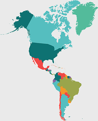
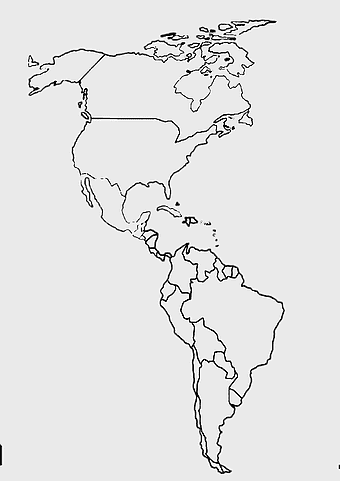
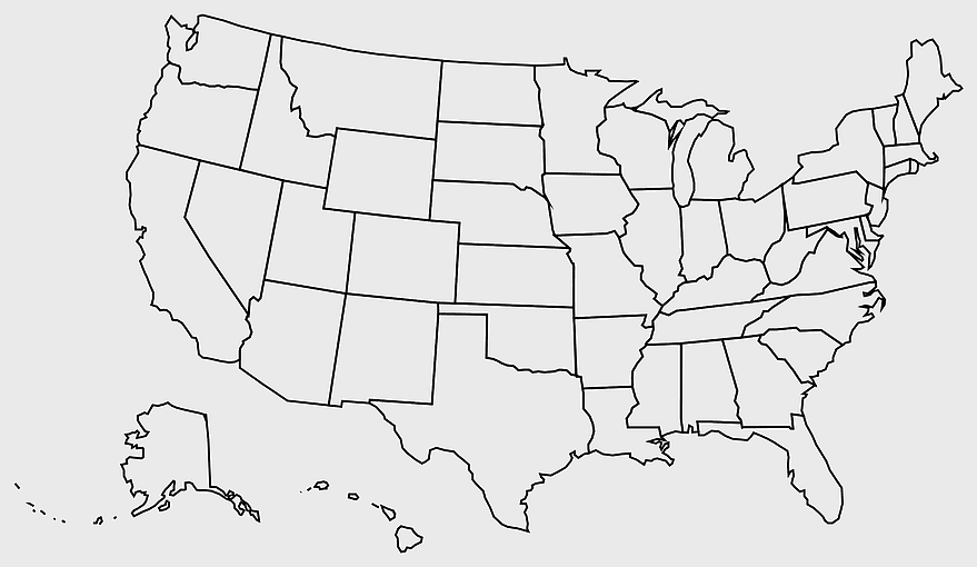
United States blank map, U.S. state outline, black and white map, geography line art, political map of America, educational map design, USA state borders illustration, PNG
keywords
- United States blank map
- U.S. state outline
- black and white map
- geography line art
- political map of America
- educational map design
- USA state borders illustration
License: Personal use only
More related PNGs
-
980x618px

black silhouette USA map, blank United States map, monochrome map of USA, travel world map USA, geographic outline of America, continental United States shape, minimalist USA cartography -
1280x801px

Flag of the United States Map, national Flag of USA, travel World with US flag, geography of the United States, American patriotic symbols, USA map design, stars and stripes layout -
7506x8000px

India blank map, orange India silhouette, India world map design, stock India map, Indian geography outline, map of South Asia, India political borders -
1000x365px

Indonesia blank map, black silhouette map, monochrome world map, outline map of Indonesia, geographical outline, travel map design, cartographic illustration -
1200x641px

Russia blank map, black and white Russia map, monochrome Russia map, white Russia map, Russian geography, political map of Russia, Russia outline map -
742x866px

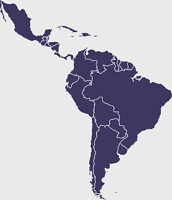
South America map, Latin America political map, blank Americas map, latino integration, South American geography, political boundaries Americas, continental map analysis -
688x838px

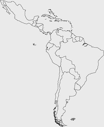
South America blank map, Central America monochrome map, Latin America line art, Americas geography illustration, political map of South America, educational map drawing, travel map of Americas -
3604x4798px

geographic outline, state border, cartographic design, landmass representation, regional map, coastal depiction, geographical frame -
882x1280px

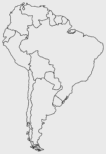
South America map coloring page, Latin America blank map, monochrome world map, black and white continent outline, educational geography illustration, printable line art map, travel world map design -
892x906px

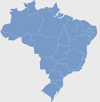
Brazil regions map, blank Brazil map, political map of Brazil, ecoregions of Brazil, South American geography, Brazilian states outline, map of Brazilian territories -
1280x580px

red and white map illustration, Flag of Indonesia Brunei Map, greater Indonesia map, blank map with flag design, Southeast Asia political map, cartographic design elements, regional geography illustration -
578x578px

Brazil map, black and white map, mapa polityczna, travel world, South America geography, political division, country borders -
6065x3172px

Flag of the United States, American flag illustration, 4th of July celebration, USA patriotic symbol, American independence day, national emblem of America, stars and stripes design -
850x550px

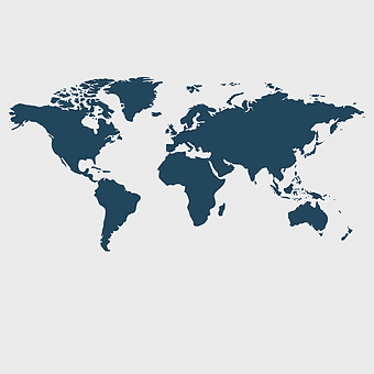
blue world map, early cartography atlas, political map collection, world map line art, global geography illustration, international map design, earth continent layout -
800x583px

Mexico United States border map, blank political map, black and white world map, monochrome country diagram, international geography layout, cartographic line art, travel destination atlas -
1024x838px

American flag map, USA patriotic banner, United States flag design, travel world USA, American stars and stripes, USA flag silhouette, American flag geography -
595x689px

India blank map, political map of India, outline of India, white line map, geographical visualization, country borders, subcontinent layout -
700x838px

India Map illustration, India political map, blank India map, India state boundaries, Indian subcontinent geography, South Asia cartography, detailed India region map -
675x421px

Maharashtra map, Maharashtra state outline, Maharashtra geography, Maharashtra region, India state maps, map of Indian states, Maharashtra borders, png -
3001x1099px

grey Indonesia map, blank globe illustration, monochrome country map, flat design travel map, Southeast Asia geography, archipelago outline, island nation cartography -
900x900px

Karnataka Legislative Assembly election map, India political map, yellow Karnataka outline, Karnataka election results map, Indian state boundaries, regional election visualization, political geography of Karnataka -
1920x1080px

Flag of the United States Map, usa flag independence day, united states travel map, Flag of the United States overlay, American patriotic map, USA geography illustration, Stars and Stripes cartography -
500x721px

Peru political map, Lima city map, black and white world map, map of Peru, South America geography, country borders illustration, travel destination guide -
980x914px

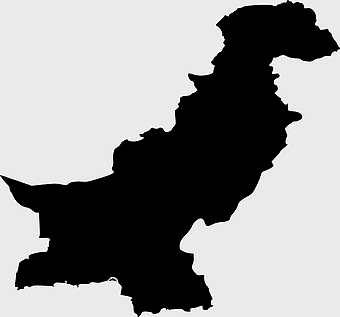
Flag of Pakistan, blank map, black silhouette, monochrome map, Pakistan geography, political borders, country outline -
1200x1200px

India monochrome map, Indian silhouette map, blank India map, black and white India map, India geographic outline, India country shape, India border illustration -
1060x660px

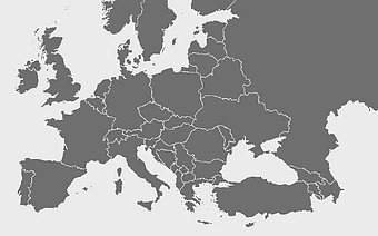
Europe blank map, monochrome world map, black and white geography, cartography europe, political map analysis, continental borders visualization, geographic layout study -
640x521px

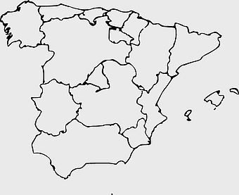
Spain blank map, autonomous communities outline, black and white geography map, spain political regions, spain educational map, spain regional divisions, spain line art map -
1428x732px

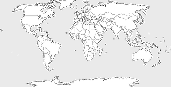
world map mercator projection, monochrome political map, south-up world map, blank map for coloring, global geography illustration, international borders outline, cartographic design elements -
1200x1200px

world map, computer-generated world map, black and white world map, пробковая карта мира, global geography illustration, international map design, earth continents outline -
1280x1275px

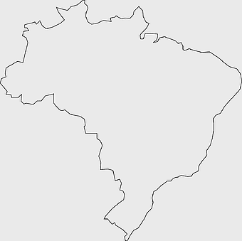
Brazil blank map, black and white Brazil outline, monochrome Brazil geography, presentation Brazil map, South America travel map, educational Brazil map, Brazil borders -
768x768px

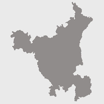
Haryana blank map, Haryana silhouette, states of India map, black and white Haryana map, India geography outline, Haryana region illustration, Indian state borders graphic -
498x560px

Latin America map, South America political map, black and white Americas map, world map with Latin America, geographic layout of South America, political boundaries of Latin America, monochrome continent map -
1331x2930px

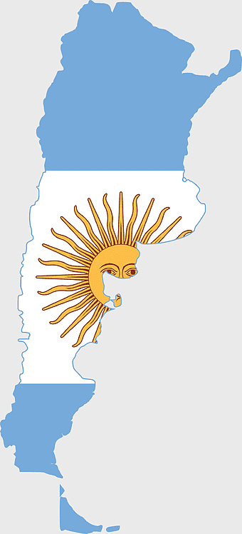
Flag of Argentina Map, argentina travel map, yellow sun emblem, blank map design, south america geography, national symbol art, argentine culture illustration -
1920x2400px

Bangladesh silhouette map, black and white Bangladesh map, blank Bangladesh map, monochrome Bangladesh map, Bangladesh geographic outline, Bangladesh country shape, Bangladesh political borders -
1425x1199px

China flag map, Flag of China blank map, red China map, Chinese flag stars, China political map, China geography illustration, China national symbol design -
993x646px

Russia map silhouette, blank Russia map, Russian geography outline, black and white Russia outline, Eurasian region borders, political map of Europe and Asia, Slavic states boundaries -
7508x8000px

flag of the United States, usa flag waving, united States banner, American flag illustration, patriotic symbol, national emblem, stars and stripes design -
736x507px

Russia orange map, Russian city map, blank Russia map, scale map of Russia, Russian geography, political map of Russia, Russian urban areas -
359x768px

Argentina blank map, Argentine Northwest geography, black and white outline, coloring book map, South American cartography, silhouette map, travel atlas design -
2953x1911px

world map silhouette, monochrome world map, black and white globe, raster world map, global atlas design, earth map illustration, political map outline -
1024x377px

Flag of Indonesia Map, black and white map, Indonesia line art, monochrome travel map, Southeast Asia geography, archipelago illustration, political boundaries -
2339x1377px

Russia Map silhouette, black and white Russia map, blank Russia map, monochrome world map, Russian geography outline, Eurasian landmass shape, northern hemisphere cartography -
900x900px

Nizamabad District Map, Telangana State Outline, India Political Map, Yellow Region Highlight, Geographical Borders, Administrative Division, Regional Cartography -
1500x1500px

Chile blank map, black and white map, line art map, travel world map, South America geography, country outline, map design -
2292x2334px

Flag of France Map, French Country outline, blank France map, tricolor France flag, European nation borders, French geography, national symbol design -
444x701px

England Map UK, flag of the United Kingdom, map of Great Britain, blue and red design, British geography, UK political division, Union Jack overlay -
1000x1333px

United States one hundred-dollar bill, Flying Dollars, U.S. dollar banknotes illustration, cash pile, money rain, financial abundance, wealth visualization -
1115x1280px

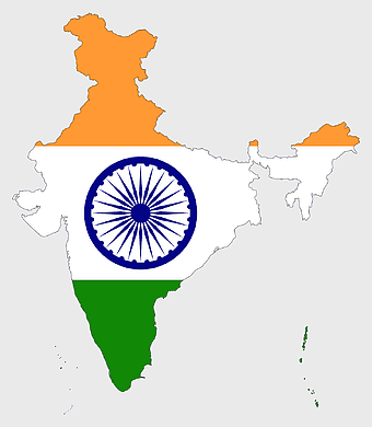
India flag map, Indian national symbol, tricolor India map, blank India map, political map of India, Ashoka Chakra design, Indian geography outline -
600x600px

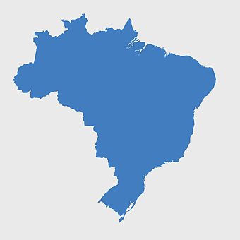
Brazil blank map, blank Brazil map, blue world map, stock Brazil diagram, geographical layout, country outline, South America borders -
500x500px

Maharashtra blank map, black and white silhouette, travel world map, stock map image, geographic outline, state boundary illustration, cartographic design -
1502x1658px

Africa silhouette map, black and white Africa map, monochrome Africa graphic, blank Africa map, African continent outline, geographical Africa shape, Africa continent -
2602x1952px

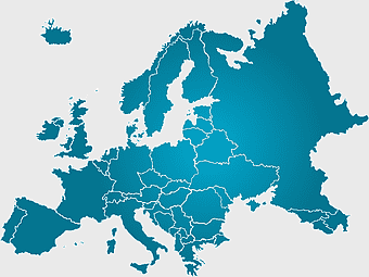
Europe political map, European globe map, world geography, European area map, European continent map, European countries outline, European map illustration -
1668x2044px

United States and South America map, South America map material, American continent map, world map illustration, Americas geography, hemispheres map, international borders map -
870x980px

North America silhouette, black and white map, United States and Canada outline, Geography of North America, North American continent map, monochrome world travel, Western Hemisphere cartography -
576x602px

Africa blank map, black and white continent outline, monochrome line art geography, stock Africa, geographical sketch, minimalist cartography, white background continents -
1000x1000px

Mexicou2013United States border Drawing, vintage frame, monochrome art, black and white border, geometric pattern design, traditional textile motif, ornamental line art -
563x618px

Blank Africa map, Africa world map, Blank map Africa, Africa outline, African continent map, unmarked Africa map, Africa geography chart -
660x660px

globe, world map, United States, sphere, global geography, earth atlas, international continents -
1100x479px

white and teal island illustration, United States continent map, beautiful world map design, seven continents map, global cartography art, 3D world geography, international travel map -
512x512px

U.S. flag icon, flag of the united states line pattern, USA, 2014 World Cup Flags, American patriotic symbols, national emblem design, circular flag illustration -
3508x4961px

America map, Latin America outline, North America geography, South America borders, continental map, hemisphere layout, Americas cartography, png -
1280x689px

world map drawing, monochrome globe art, white line tattoo, blank map stencil, global geography outline, earth continents sketch, minimalist cartography design -
900x900px

Kerala Map, India silhouette, blank Kerala map, travel Kerala, South India state, geographical outline, blue region map -
1024x1024px

Flag of Indonesia Map, black silhouette map, komodo travel, monochrome Indonesia map, Southeast Asia geography, archipelago nation, island nation outline -
8000x5042px

Flag of the United States map, USA Flag Map, independence Day map design, American flag pattern, patriotic map illustration, america stars and stripes map, US geography graphic -
1150x1104px

USA soccer logo, U.S. men's soccer, U.S. women's soccer, United States soccer, soccer federation emblem, national team crest, American sports insignia -
943x1091px

blank India map, states and territories of India outline, monochrome Indian political map, central India geography, Indian borderlines illustration, subcontinental regions layout, location markers on India无声無息无声无息无声无息China -
900x900px

India blank map, monochrome India silhouette, India map line art, black and white India map, India geographic outline, India country shape, India political borders -
600x600px

Europe blank map, white globe world map, Europe classical borders, white political map, European geographic outline, continental map art, blank map designs -
2308x2400px

simple black and white border, monochrome decorative frame, technical drawing borders, black and white line art, geometric shape outline, minimalist design element, abstract border pattern -
1424x1920px

Borders and Frames Drawing, black and white frame design, decorative arts borders, monochrome line art frames, elegant frame illustrations, minimalist border designs, ornamental rectangle outlines -
800x738px

Australia monochrome map, black silhouette world map, Australia blank map, geography atlas, Australian continent outline, global monochrome cartography, earth silhouette illustration -
2000x2729px

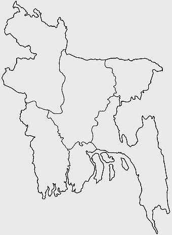
Bangladesh blank map, districts of Bangladesh, division of Bangladesh, black and white map, geographical outline, administrative regions, country borders -
1024x1024px

Japan map silhouette, black and white Japan map, Japan prefectures outline, monochrome Japan map, Japanese geography illustration, Asia travel icon, country shape graphic -
1242x1128px

flag of brazil map, map of brazil, brazilian geography, world map graphic, 3D map illustration, cities in brazil, south america political map

