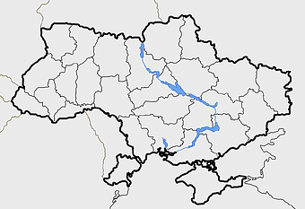
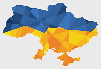
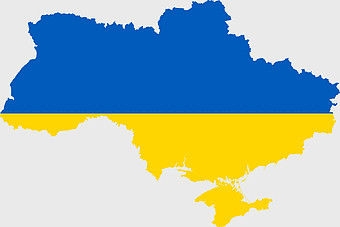
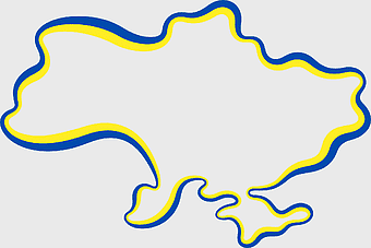
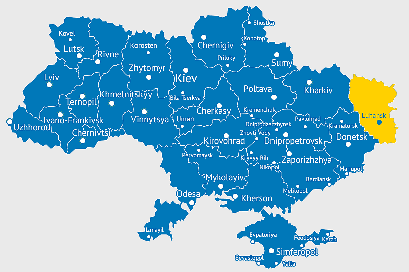
Ukraine political map, Ukrainian regions, world map area, travel Ukraine, European geography, cartography visualization, geopolitical boundaries, PNG
keywords
- Ukraine political map
- Ukrainian regions
- world map area
- travel Ukraine
- European geography
- cartography visualization
- geopolitical boundaries
License: Personal use only
More related PNGs
-
1000x1000px

Ukraine map, yellow and blue, travel Ukraine, Ukrainian symbol, Eastern European country, national flag design, geopolitical region -
544x488px

Ukraine map silhouette, black and white Ukraine map, Ukrainian fauna map, travel Ukraine map, geographic outline of Ukraine, Ukrainian landscape illustration, Eastern European cartography -
720x720px

Ukraine map with flag, Ukrainian national colors, contour line of Ukraine, yellow and blue map, Ukrainian geography, Eastern European borders, Ukrainian travel guide -
850x550px

blue world map, early cartography atlas, political map collection, world map line art, global geography illustration, international map design, earth continent layout -
1001x555px

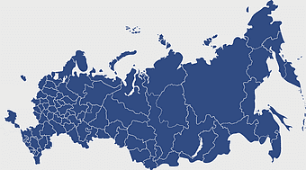
Russia political map, карта россии, world map cartography, mapa polityczna Russia, Russian federation regions, geopolitical boundaries, Eurasian territories -
700x838px

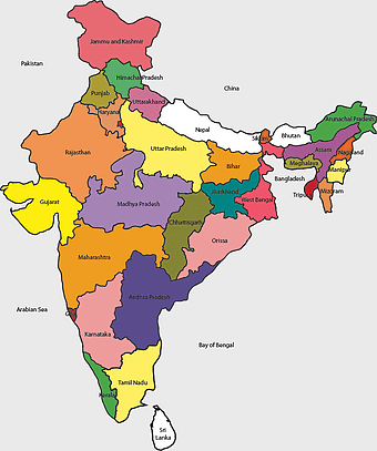
India Map illustration, India political map, blank India map, India state boundaries, Indian subcontinent geography, South Asia cartography, detailed India region map -
1062x399px

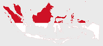
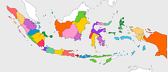
Indonesian Map, red map outline, travel World, cartography, Southeast Asia geography, archipelago nation, island nation map -
2400x1800px

Maharashtra Map illustration, UK geography, monochrome area diagrams, line art states, geographic boundary outlines, regional cartography design, geopolitical zone mapping -
2602x1952px

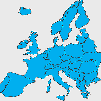
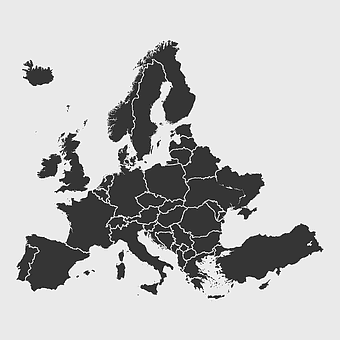
Europe political map, European globe map, world geography, European area map, European continent map, European countries outline, European map illustration -
900x900px

Karnataka Legislative Assembly election map, India political map, yellow Karnataka outline, Karnataka election results map, Indian state boundaries, regional election visualization, political geography of Karnataka -
1427x845px

world map, flat design map, cartography globe, geography map, global travel map, earth atlas, international map design -
1400x960px

state border of Ukraine, Ukrainian Soviet Socialist Republic map, Carpatho-Ukraine territory, blank map of Ukraine, historical Ukrainian borders, geopolitical map analysis, Eastern European cartography -
1667x1667px

blue dotted world map, world map pattern design, travel around the world map, polka dots globe illustration, geopolitical area map, fantasy map geography concept, aqua dot distribution cartography -
1024x1024px

globe silhouette, equirectangular projection map, earth icon logo, world map projection, global geography illustration, international cartography design, planet earth visual -
940x515px

world map, contour line, map projection, atlas, geographic visualization, cartographic design, global geography, earth representation -
1280x580px

red and white map illustration, Flag of Indonesia Brunei Map, greater Indonesia map, blank map with flag design, Southeast Asia political map, cartographic design elements, regional geography illustration -
1300x891px

Flag of Ukraine, victory map, orange and yellow, coat of arms Ukraine region, Ukrainian territorial representation, geopolitical symbolism, digital cartography art -
633x481px

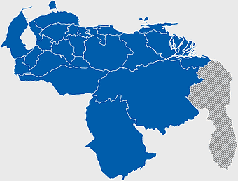
Venezuela map, world map, travel Venezuela, flag of Venezuela, South America geography, political boundaries, cartography design -
1280x1280px

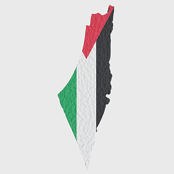
Palestine map, Gaza region, Palestinian flag, Middle East conflict, territorial boundaries, geopolitical area, national identity, png -
3001x1099px

grey Indonesia map, blank globe illustration, monochrome country map, flat design travel map, Southeast Asia geography, archipelago outline, island nation cartography -
2400x1600px

Flag of Ukraine, Ukrainian national flag map, blue and yellow map, political map of Ukraine, Eastern European map design, country outline flag, Ukraine geography graphic -
1024x377px

Flag of Indonesia Map, black and white map, Indonesia line art, monochrome travel map, Southeast Asia geography, archipelago illustration, political boundaries -
1100x569px

world map illustration, dot distribution map, seven continents map, travel around the world, global connectivity, international routes, world geography diagram -
4167x2084px

Indonesia map, flat design map, yellow and blue map, travel world map, geographic layout, island nation map, southeast asia cartography -
1280x640px

Ukraine flag, Ukrainian national colors, Ukraine map outline, blue and yellow flag, Eastern European symbols, national identity markers, patriotic, png -
1060x660px

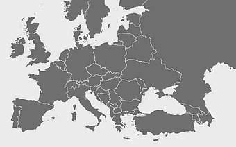
Europe blank map, monochrome world map, black and white geography, cartography europe, political map analysis, continental borders visualization, geographic layout study -
1411x550px

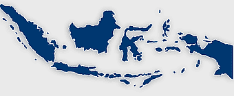
Indonesia Map, blue map, travel World, aqua design, Southeast Asia geography, archipelago visualization, cartographic representation -
2000x855px

Flag of Indonesia Map, Indonesian travel map, world map design, area map of Indonesia, Southeast Asia map, political map of Indonesia, Indonesian geography illustration -
1200x1200px

Ukraine flag, electric blue and yellow, Ukrainian national symbol, world flag collection, Ukrainian independence, European nation emblem, patriotic colors design -
1437x1495px

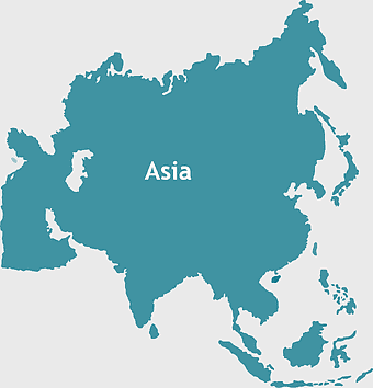
Asia continental map, Asia Europe globe, mercator projection map, blank Asia map, world geography, global cartography, continental boundaries -
7506x8000px

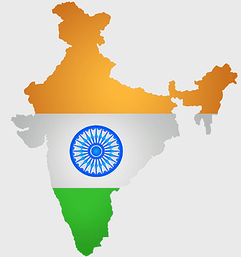
India blank map, orange India silhouette, India world map design, stock India map, Indian geography outline, map of South Asia, India political borders -
2268x2000px

world map, old map, parchment map, travel around the world, vintage world map, global geography, historical cartography -
1644x2400px

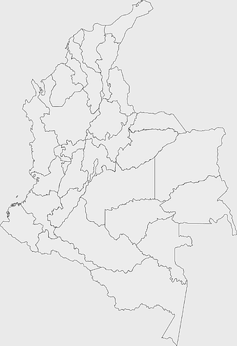
Colombia map, monochrome map, black and white map, travel world map, South America geography, political boundaries, regional divisions -
578x578px

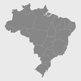
Brazil map, black and white map, mapa polityczna, travel world, South America geography, political division, country borders -
2640x1674px

7 continent world map, color world map, flat world map, world map diagram, global geography map, international travel map, world map infographic -
637x738px

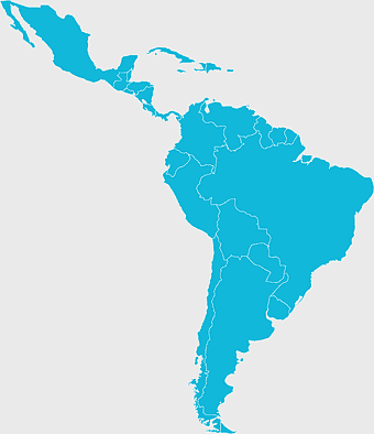
Latin America Map, South America map, Caribbean political map, Maxxess Systems Inc coverage areas, Americas regional map content, examined world cartography, distinctive map visualizations -
742x866px

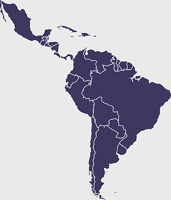
South America map, Latin America political map, blank Americas map, latino integration, South American geography, political boundaries Americas, continental map analysis -
1463x1238px

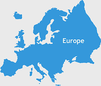
Europe Map, blue silhouette map, travel world map, European geography, continent outline, cartographic design, regional borders -
900x900px

Nizamabad District Map, Telangana State Outline, India Political Map, Yellow Region Highlight, Geographical Borders, Administrative Division, Regional Cartography -
2937x2645px

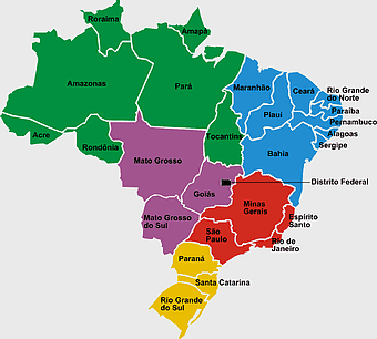
Brazil regions map, South Region Brazil geography, Southeast Region Brazil political division, North Region Brazil ecoregion, Brazilian state boundaries, map of Brazilian territories, Brazilian regional subdivisions -
3608x2189px

location-based service, True Phantom Solutions, mobile phone mapping, travel world navigation, digital map pin, geolocation technology, area mapping service -
1667x1667px

world map, flat color world map, world map material, color map of the world, global geography illustration, international cartography design, world atlas graphic -
1100x479px

white and teal island illustration, United States continent map, beautiful world map design, seven continents map, global cartography art, 3D world geography, international travel map -
2290x2285px

Flag of Greece map, Greek national symbol, Greece travel world map, Greek flag overlay, Hellenic geography, Mediterranean country borders, Aegean region cartography -
1800x983px

world map mercator projection, asia ocean map, flat earth globe map, robinson projection world, global geography chart, earth cartography design, world atlas illustration -
860x698px

world map illustration, colorful world map, flat design map, world map continents, global geography, world map infographic, international travel map -
2100x1313px

blue world map, cloud map, mappa Mundi, world map stock, pixelated map, global geography, digital cartography -
700x700px

Netherlands map silhouette, blue Netherlands map, Netherlands travel map, Netherlands area map, Dutch geography, Holland cartography, European country outlines -
1280x853px

Ukraine map outline, Ukrainian flag colors, peace symbol representation, dove of peace icon, territorial boundary illustration, national identity graphic, geopolitical visual marker, png -
1600x1135px

world map illustration, mercator projection map, elegant world map design, political world map, global geography infographic, international borders visualization, earth continents layout -
600x424px

Flag of Indonesia Map, peta Indonesia, world map, blue area, Indonesian geography, archipelagic nation, Southeast Asia cartography -
736x507px

Russia orange map, Russian city map, blank Russia map, scale map of Russia, Russian geography, political map of Russia, Russian urban areas -
892x906px

Brazil regions map, blank Brazil map, political map of Brazil, ecoregions of Brazil, South American geography, Brazilian states outline, map of Brazilian territories -
2000x1367px

Flag of Mexico Map, Mexican flag overlay, travel Mexico, world map with flag, Mexican cartography, national emblem map, geographic flag design -
2206x2190px

European Union member states map, Flag of Europe, UK map, Eurozone countries, European geography, EU political boundaries, European Union membership -
1200x638px

world map, globe, political map, Hereford Mappa Mundi, global geography, cartography, international atlas -
1208x1208px

European Union Map, info map Europe, European continent outline, европа карта, Geo-political boundaries visualization, Cartographic European regions, International borders depiction -
1732x900px

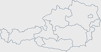
Graz postal codes map, Austria city map, black and white map, travel world map, political region boundaries, urban area layout, postal code regions -
925x520px

blue dot world map, global map with dots, flat Earth diagram, blue abstract globe, world map design, international travel map, digital cartography -
720x895px

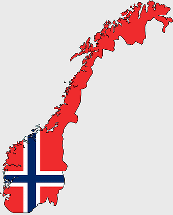
Norway blank map, Norwegian geography, flag of Norway, travel world map, Scandinavian cartography, Nordic region outline, European country borders -
1213x512px

blue world map, Mercator Projection map, world geography illustration, mapa Mundi drawing, global cartography, international atlas, earth visualization -
1024x585px

Indonesia map with flag, Indonesian national symbols, red and white map illustration, Flag of Indonesia overlay, Southeast Asia cartography, Indonesian geography visuals, patriotic map design -
942x1261px

Japan map red, Japanese prefectures travel, political map Japan, Japan tourism points, Japanese geography visualization, Asia regional cartography, map study resources -
1024x1024px

Rajasthan map, blue map outline, travel world map, blank map template, geographical region, state boundary, cartographic design -
2382x1089px

Turkey map poster, Turkish flag art, travel world map, Turkey area map, Turkish geography, Turkish regions, Turkish cartography -
6599x3245px

yellow world map, globe illustration, world map background, travel around the world, global geography, earth continents, international map design -
1800x2144px

Flag of Norway, Norway map, national flag, cartography, Scandinavian geography, European cartography, world map details -
2455x1318px

world map mercator projection, flat earth society globe, black and white cartography, early world maps design, global geography illustration, continental layout visualization, historical cartographic art -
681x674px

Eastern Europe blank map, monochrome world map, black and white cartography, line art geography, European borders outline, geopolitical map design, minimalist continent illustration -
5136x3072px

Antarctica map HD, Map of the world exquisite, world Cup travel, plate world map, global geographical visualization, high-resolution world atlas, seven continents cartography -
1500x1500px

Europe Map, black and white map, silhouette map, travel world, European countries, geographic outline, continent illustration -
500x721px

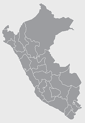
Peru political map, Lima city map, black and white world map, map of Peru, South America geography, country borders illustration, travel destination guide -
587x600px

Globe World Earth Emoji, Africa continent map, sphere planet icon, world map projection, global geography illustration, earth emoji graphic, international cartography design -
1000x526px

gray world map, dot distribution map, monochrome globe, black and white cartography, global geography illustration, international point map, world atlas design -
1486x610px

Flag of Indonesia Map, Indonesian travel map, blue world map, Indonesian area map, Southeast Asia map, country outline map, travel destination map

