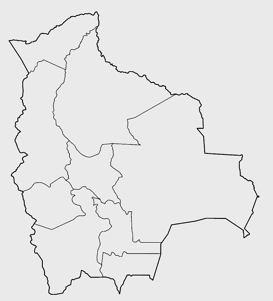
Santa Cruz Department map, Departments of Bolivia Atlas, blank map of Bolivia, line Art map, Bolivia political divisions, South American geography, Bolivian department boundaries, PNG free download
Santa Cruz Department map, Departments of Bolivia Atlas, blank map of Bolivia, line Art map, Bolivia political divisions, South American geography, Bolivian department boundaries
850x550pxblue world map, early cartography atlas, political map collection, world map line art, global geography illustration, international map design, earth continent layout
7506x8000pxIndia blank map, orange India silhouette, India world map design, stock India map, Indian geography outline, map of South Asia, India political borders
1280x580pxred and white map illustration, Flag of Indonesia Brunei Map, greater Indonesia map, blank map with flag design, Southeast Asia political map, cartographic design elements, regional geography illustration
1280x684pxRussian Revolution map, Flag of Russia, Russia topo map, blue flag, Russian historical map, Soviet era map, Russian political divisions
1024x1008pxFlag of Brazil, Ordem E Progresso, Brazil globe map, national flag, South American geography, Brazilian emblem, green and yellow design
2400x1190pxworld map, blank map, natural Earth, global geography, earth continents, international atlas
700x838pxIndia Map illustration, India political map, blank India map, India state boundaries, Indian subcontinent geography, South Asia cartography, detailed India region map
742x866pxSouth America map, Latin America political map, blank Americas map, latino integration, South American geography, political boundaries Americas, continental map analysis
444x701pxEngland Map UK, flag of the United Kingdom, map of Great Britain, blue and red design, British geography, UK political division, Union Jack overlay
892x906pxBrazil regions map, blank Brazil map, political map of Brazil, ecoregions of Brazil, South American geography, Brazilian states outline, map of Brazilian territories
1200x641pxRussia blank map, black and white Russia map, monochrome Russia map, white Russia map, Russian geography, political map of Russia, Russia outline map
1280x801pxFlag of the United States Map, national Flag of USA, travel World with US flag, geography of the United States, American patriotic symbols, USA map design, stars and stripes layout
1425x1199pxChina flag map, Flag of China blank map, red China map, Chinese flag stars, China political map, China geography illustration, China national symbol design
884x625pxBolivia Ministry of Foreign Affairs logo, Evo Morales diplomatic mission emblem, Bolivian government organization symbol, coat of arms of Bolivia, Bolivian national emblem design, South American political insignia, international relations ministry crest
359x768pxArgentina blank map, Argentine Northwest geography, black and white outline, coloring book map, South American cartography, silhouette map, travel atlas design
736x507pxRussia orange map, Russian city map, blank Russia map, scale map of Russia, Russian geography, political map of Russia, Russian urban areas
578x578pxBrazil map, black and white map, mapa polityczna, travel world, South America geography, political division, country borders
900x900pxKarnataka Legislative Assembly election map, India political map, yellow Karnataka outline, Karnataka election results map, Indian state boundaries, regional election visualization, political geography of Karnataka
1331x2930pxFlag of Argentina Map, argentina travel map, yellow sun emblem, blank map design, south america geography, national symbol art, argentine culture illustration
2000x2670pxGran Colombia map, Flag of Colombia silhouette, Colombia national flag, yellow Colombia map, South American historical maps, Colombian geography visuals, historical flag designs
1024x377pxFlag of Indonesia Map, black and white map, Indonesia line art, monochrome travel map, Southeast Asia geography, archipelago illustration, political boundaries
1200x1584pxColombia departments map, Putumayo Department outline, Boyacá Department geography, blank map of Colombia, Colombian regional boundaries, South American departmental divisions, cultural regions of Colombia
1024x838pxAmerican flag map, USA patriotic banner, United States flag design, travel world USA, American stars and stripes, USA flag silhouette, American flag geography
720x720pxUkraine map with flag, Ukrainian national colors, contour line of Ukraine, yellow and blue map, Ukrainian geography, Eastern European borders, Ukrainian travel guide
595x689pxIndia blank map, political map of India, outline of India, white line map, geographical visualization, country borders, subcontinent layout
498x560pxLatin America map, South America political map, black and white Americas map, world map with Latin America, geographic layout of South America, political boundaries of Latin America, monochrome continent map
660x660pxglobe, world map, United States, sphere, global geography, earth atlas, international continents
688x838pxSouth America blank map, Central America monochrome map, Latin America line art, Americas geography illustration, political map of South America, educational map drawing, travel map of Americas
1000x550pxMalaysia blank map, Malaysia map, travel world map, geography map, Southeast Asia map, dot pattern map, green background map
1437x1495pxAsia continental map, Asia Europe globe, mercator projection map, blank Asia map, world geography, global cartography, continental boundaries
563x618pxBlank Africa map, Africa world map, Blank map Africa, Africa outline, African continent map, unmarked Africa map, Africa geography chart
1428x732pxworld map mercator projection, monochrome political map, south-up world map, blank map for coloring, global geography illustration, international borders outline, cartographic design elements
555x802pxPeru flag map, flag of Peru, Peru map outline, red and white flag, South American country flags, national symbol illustration, geographic boundary design
2339x1377pxRussia Map silhouette, black and white Russia map, blank Russia map, monochrome world map, Russian geography outline, Eurasian landmass shape, northern hemisphere cartography
1060x660pxEurope blank map, monochrome world map, black and white geography, cartography europe, political map analysis, continental borders visualization, geographic layout study
800x738pxAustralia monochrome map, black silhouette world map, Australia blank map, geography atlas, Australian continent outline, global monochrome cartography, earth silhouette illustration
2937x2645pxBrazil regions map, South Region Brazil geography, Southeast Region Brazil political division, North Region Brazil ecoregion, Brazilian state boundaries, map of Brazilian territories, Brazilian regional subdivisions
882x1280pxSouth America map coloring page, Latin America blank map, monochrome world map, black and white continent outline, educational geography illustration, printable line art map, travel world map design
1812x1114pxFalkland Islands map, Stanley Falkland Islands, Flag of the Falkland Islands, Port Louis Falkland Islands, Falkland Islands geography, Falkland Islands flag design, Falkland Islands political map
900x900pxLatin America map with flags, flags of South America, South America map, national flags of Latin America, Americas geography, South American countries, map of South American nations
2000x1022pxworld map continents, robinson projection map, blank world map, travel world map, global geography, earth atlas, international borders
2480x3508pxFlag of Bolivia, Bolivian national symbol, Bolivia flag design, Bolivian flag colors, South American flags, tricolor flag representation, Bolivian emblem details
1115x1280pxIndia flag map, Indian national symbol, tricolor India map, blank India map, political map of India, Ashoka Chakra design, Indian geography outline
500x721pxPeru political map, Lima city map, black and white world map, map of Peru, South America geography, country borders illustration, travel destination guide
1491x1600pxAfrica map with flags, African national flags, world map with country flags, pan-African flag design, African political boundaries, continent flag collage, African cultural symbols
1500x804pxblank world map, black silhouette map, mollweide projection map, monochrome world wallchart, global geography poster, flat earth logo, high-contrast atlas design
1280x689pxworld map drawing, monochrome globe art, white line tattoo, blank map stencil, global geography outline, earth continents sketch, minimalist cartography design
800x583pxMexico United States border map, blank political map, black and white world map, monochrome country diagram, international geography layout, cartographic line art, travel destination atlas
800x600pxflag of Bolivia, Bolivian national symbol, Bolivia flag throw pillow, Bolivian flag icon, Bolivian patriotic emblem, South American flag design, tricolor national banner
756x1024pxflag of Russia map, Russian flag overlay, Russia topo map, blank Russia map, Russian geography, Russian flag design, Russian map illustration
640x640pxflags of South America map, Latin America country flags, South America blank map, flags of the Americas, South American travel destinations, Andean nation symbols, Mercosur member states
500x500pxblue globe map, world sphere icon, isolated earth image, desktop world map, global geography illustration, planet cartography graphic, international atlas design
1242x1128pxflag of brazil map, map of brazil, brazilian geography, world map graphic, 3D map illustration, cities in brazil, south america political map
1280x1156pxBolivian Coat of Arms, Bolivian flag crest, Bolivia national symbol, Bolivian emblem, Andean llama, South American iconography, military insignia, png
446x729pxsouth Korean Presidential Election 1967 map, Seoul black and white silhouette, Korean Peninsula monochrome illustration, South Korea election geography, political history of Korea, historical election visuals, Asian political cartography
800x800pxorange globe, world map sphere, earth icon, political map, global geography, planet illustration, cartographic design
576x602pxAfrica blank map, black and white continent outline, monochrome line art geography, stock Africa, geographical sketch, minimalist cartography, white background continents
640x640pxVenezuela flag map, administrative divisions of Venezuela, cryptocurrency Petro map, travel world Venezuela, political map of Venezuela, South American country map, Venezuelan flag design
640x521pxSpain blank map, autonomous communities outline, black and white geography map, spain political regions, spain educational map, spain regional divisions, spain line art map
1200x638pxworld map, globe, political map, Hereford Mappa Mundi, global geography, cartography, international atlas
600x600pxBrazil blank map, blank Brazil map, blue world map, stock Brazil diagram, geographical layout, country outline, South America borders
2400x1800pxMaharashtra Map illustration, UK geography, monochrome area diagrams, line art states, geographic boundary outlines, regional cartography design, geopolitical zone mapping
799x334pxworld map silhouette, black and white globe decal, monochrome world map, blank map wall art, global geography decor, earth outline sticker, international atlas design
943x1091pxblank India map, states and territories of India outline, monochrome Indian political map, central India geography, Indian borderlines illustration, subcontinental regions layout, location markers on India无声無息无声无息无声无息China
980x914pxFlag of Pakistan, blank map, black silhouette, monochrome map, Pakistan geography, political borders, country outline
2144x2308pxNorth Korea flag map, Korean Peninsula division, North Korean emblem, red star symbol, Korean political geography, national identity symbols, East Asian geopolitics
640x1280pxVietnam map with flag, South Vietnam historical map, Vietnam national symbol, Vietnam flag design, Southeast Asia political map, communist flag representation, Vietnamese independence iconography
3467x1890pxblue world map, sinusoidal projection map, early world maps, travel around the world, global geography, cartographic design, earth atlas
811x342pxworld map Indonesia, monochrome globe, black and white map, atlas diagram, global geography, cartographic design, international cartography
512x512pxMaharashtra Blank map, orange silhouette map, road map topo, city map India, geospatial visualization, state boundary outlines, cartographic graphic design
800x1200pxSouth Korean presidential election 2017 map, provinces of South Korea, black and white Korea map, South Korea blank map, Korean political geography, Korean election results visualization, Korean regional boundaries
1644x2400pxColombia map, monochrome map, black and white map, travel world map, South America geography, political boundaries, regional divisions
655x525pxCoat of Arms of Bolivia, Bolivian Flag Design, Bolivian Escutcheon Symbol, Bolivian National Emblem, Andean Condor Icon, South American Heraldry, Patriotic Bolivian Crest
1260x750pxgray world map, presentation slide, atlas collection, monochrome globe, global geography, visual cartography, global navigation