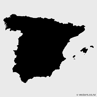
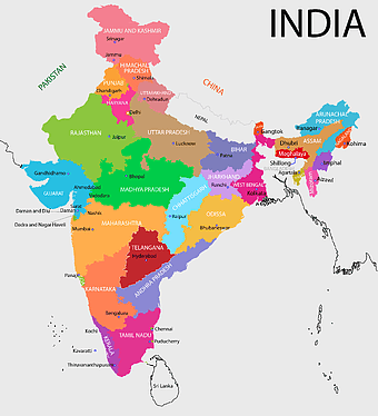
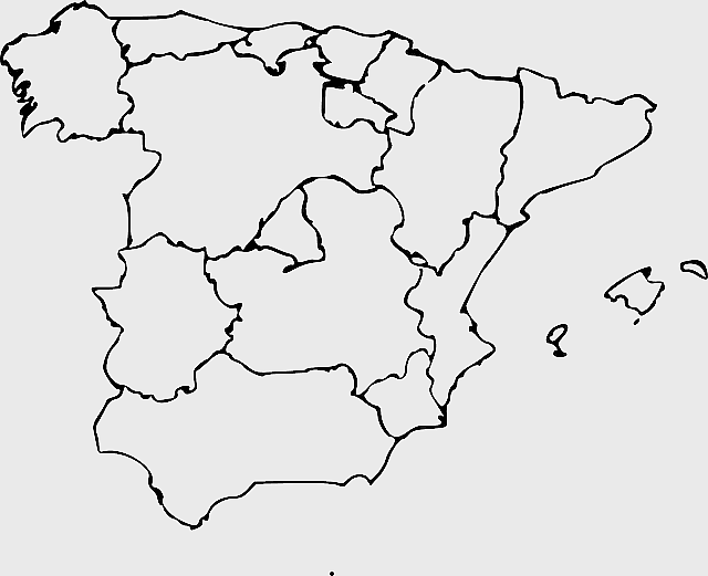
Spain blank map, autonomous communities outline, black and white geography map, spain political regions, spain educational map, spain regional divisions, spain line art map, PNG
keywords
- Spain blank map
- autonomous communities outline
- black and white geography map
- spain political regions
- spain educational map
- spain regional divisions
- spain line art map
License: Personal use only
More related PNGs
-
1280x580px

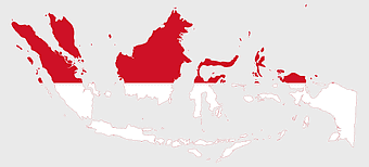
red and white map illustration, Flag of Indonesia Brunei Map, greater Indonesia map, blank map with flag design, Southeast Asia political map, cartographic design elements, regional geography illustration -
1200x641px

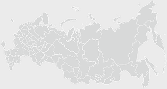
Russia blank map, black and white Russia map, monochrome Russia map, white Russia map, Russian geography, political map of Russia, Russia outline map -
1000x365px

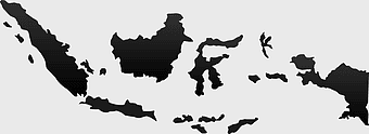
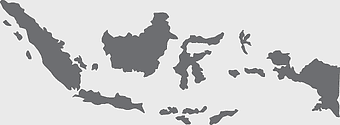
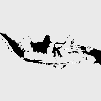
Indonesia blank map, black silhouette map, monochrome world map, outline map of Indonesia, geographical outline, travel map design, cartographic illustration -
892x906px

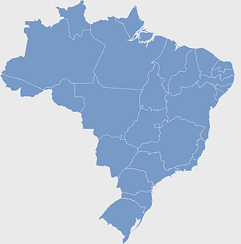
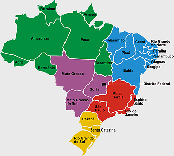
Brazil regions map, blank Brazil map, political map of Brazil, ecoregions of Brazil, South American geography, Brazilian states outline, map of Brazilian territories -
7506x8000px

India blank map, orange India silhouette, India world map design, stock India map, Indian geography outline, map of South Asia, India political borders -
900x900px

Nizamabad District Map, Telangana State Outline, India Political Map, Yellow Region Highlight, Geographical Borders, Administrative Division, Regional Cartography -
2000x2729px

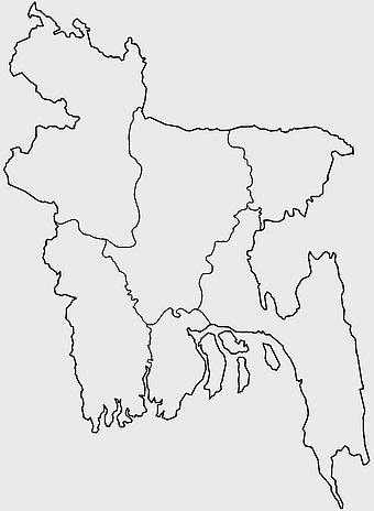
Bangladesh blank map, districts of Bangladesh, division of Bangladesh, black and white map, geographical outline, administrative regions, country borders -
700x838px

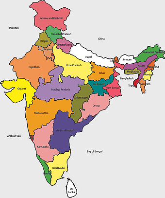
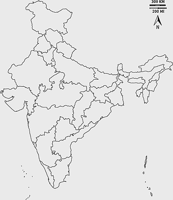
India Map illustration, India political map, blank India map, India state boundaries, Indian subcontinent geography, South Asia cartography, detailed India region map -
850x550px

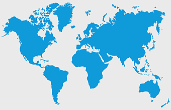
blue world map, early cartography atlas, political map collection, world map line art, global geography illustration, international map design, earth continent layout -
578x578px

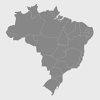
Brazil map, black and white map, mapa polityczna, travel world, South America geography, political division, country borders -
900x900px

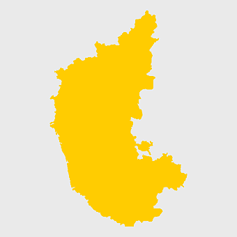
Karnataka Legislative Assembly election map, India political map, yellow Karnataka outline, Karnataka election results map, Indian state boundaries, regional election visualization, political geography of Karnataka -
1200x1584px

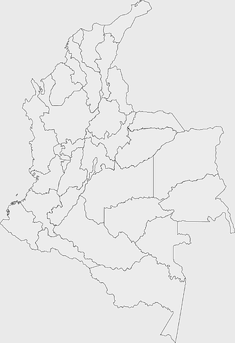
Colombia departments map, Putumayo Department outline, Boyacá Department geography, blank map of Colombia, Colombian regional boundaries, South American departmental divisions, cultural regions of Colombia -
595x689px

India blank map, political map of India, outline of India, white line map, geographical visualization, country borders, subcontinent layout -
3001x1099px

grey Indonesia map, blank globe illustration, monochrome country map, flat design travel map, Southeast Asia geography, archipelago outline, island nation cartography -
444x701px

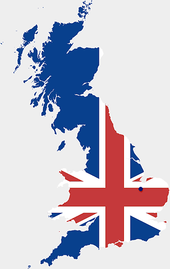
England Map UK, flag of the United Kingdom, map of Great Britain, blue and red design, British geography, UK political division, Union Jack overlay -
1280x625px

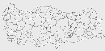
Tokat Province map, Provinces of Turkey black and white, Istanbul region outline, Amasya location on map, Turkish geography illustration, blank Turkey provinces chart, Black Sea region cartography -
2937x2645px

Brazil regions map, South Region Brazil geography, Southeast Region Brazil political division, North Region Brazil ecoregion, Brazilian state boundaries, map of Brazilian territories, Brazilian regional subdivisions -
882x1280px

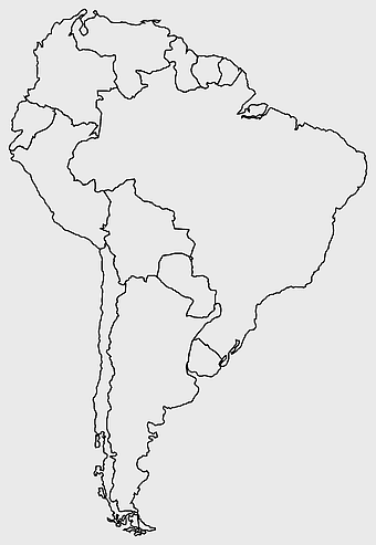
South America map coloring page, Latin America blank map, monochrome world map, black and white continent outline, educational geography illustration, printable line art map, travel world map design -
700x700px

Spain silhouette map, black and white Spain map, mercator projection Spain, blank Spain map, geographic illustration, peninsular outline, isolated monochrome map -
2400x1392px

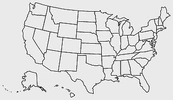
United States blank map, U.S. state outline, black and white map, geography line art, political map of America, educational map design, USA state borders illustration -
742x866px

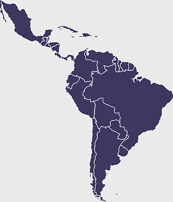
South America map, Latin America political map, blank Americas map, latino integration, South American geography, political boundaries Americas, continental map analysis -
736x507px

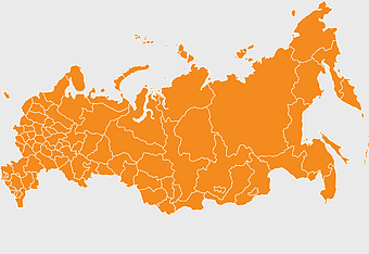
Russia orange map, Russian city map, blank Russia map, scale map of Russia, Russian geography, political map of Russia, Russian urban areas -
1200x1200px

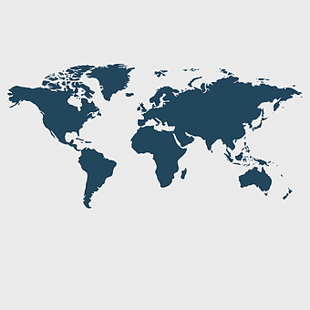
world map, computer-generated world map, black and white world map, пробковая карта мира, global geography illustration, international map design, earth continents outline -
2000x10865px

Santiago Chile map, monochrome regions of Chile, Chilean election map, black and white silhouette, Chile political divisions, Chilean geography outline, Chile travel regions -
359x768px

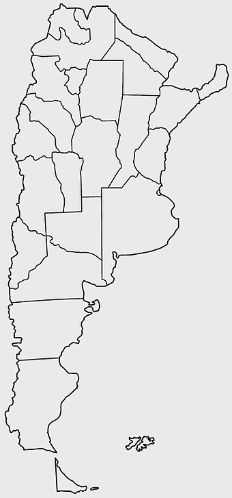
Argentina blank map, Argentine Northwest geography, black and white outline, coloring book map, South American cartography, silhouette map, travel atlas design -
675x421px

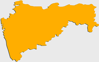
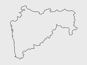
Maharashtra map, Maharashtra state outline, Maharashtra geography, Maharashtra region, India state maps, map of Indian states, Maharashtra borders, png -
800x700px

Minsk blank map, Flag of Belarus, OpenStreetMap map, black and white geography, Belarusian political divisions, European cartography, monochrome country outline -
1069x665px

blank map Russia, white world map, black and white monochrome map, Asia continent map, outline drawing maps, geopolitical map regions, line art geography charts -
980x914px

Flag of Pakistan, blank map, black silhouette, monochrome map, Pakistan geography, political borders, country outline -
2339x1377px

Russia Map silhouette, black and white Russia map, blank Russia map, monochrome world map, Russian geography outline, Eurasian landmass shape, northern hemisphere cartography -
1425x1199px

China flag map, Flag of China blank map, red China map, Chinese flag stars, China political map, China geography illustration, China national symbol design -
1644x2400px

Colombia map, monochrome map, black and white map, travel world map, South America geography, political boundaries, regional divisions -
1060x660px

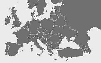
Europe blank map, monochrome world map, black and white geography, cartography europe, political map analysis, continental borders visualization, geographic layout study -
688x838px

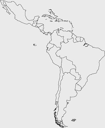
South America blank map, Central America monochrome map, Latin America line art, Americas geography illustration, political map of South America, educational map drawing, travel map of Americas -
1115x1280px

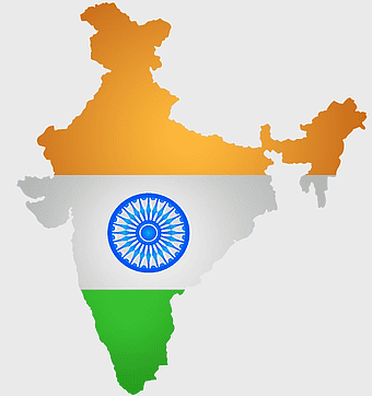
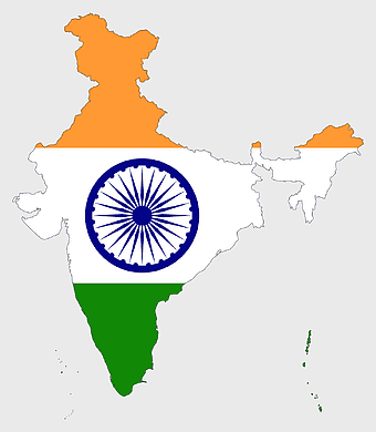
India flag map, Indian national symbol, tricolor India map, blank India map, political map of India, Ashoka Chakra design, Indian geography outline -
993x646px

Russia map silhouette, blank Russia map, Russian geography outline, black and white Russia outline, Eurasian region borders, political map of Europe and Asia, Slavic states boundaries -
1502x1658px

Africa silhouette map, black and white Africa map, monochrome Africa graphic, blank Africa map, African continent outline, geographical Africa shape, Africa continent -
900x900px

Kerala Map, India silhouette, blank Kerala map, travel Kerala, South India state, geographical outline, blue region map -
1024x377px

Flag of Indonesia Map, black and white map, Indonesia line art, monochrome travel map, Southeast Asia geography, archipelago illustration, political boundaries -
2953x1911px

world map silhouette, monochrome world map, black and white globe, raster world map, global atlas design, earth map illustration, political map outline -
1280x1584px

Flag of Germany, Allied-occupied Germany Map, blank Map, red yellow black, German territorial divisions, historical Germany map, post-war Germany borders -
1126x1327px

Regions of Italy Map, black and white Italy map, line art Italy regions, Italy area divisions, Italian geography outline, Italian travel map, Italian regional borders -
576x602px

Africa blank map, black and white continent outline, monochrome line art geography, stock Africa, geographical sketch, minimalist cartography, white background continents -
563x618px

Blank Africa map, Africa world map, Blank map Africa, Africa outline, African continent map, unmarked Africa map, Africa geography chart -
3638x4000px

India states and territories map, blank India map, India political map, India regions map, Indian subcontinent map, India administrative divisions, India geography map -
1428x732px

world map mercator projection, monochrome political map, south-up world map, blank map for coloring, global geography illustration, international borders outline, cartographic design elements -
2602x1952px

Europe political map, European globe map, world geography, European area map, European continent map, European countries outline, European map illustration -
1200x1200px

India monochrome map, Indian silhouette map, blank India map, black and white India map, India geographic outline, India country shape, India border illustration -
1280x689px

world map drawing, monochrome globe art, white line tattoo, blank map stencil, global geography outline, earth continents sketch, minimalist cartography design -
1920x2400px

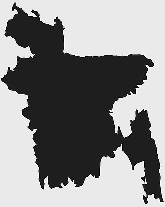
Bangladesh silhouette map, black and white Bangladesh map, blank Bangladesh map, monochrome Bangladesh map, Bangladesh geographic outline, Bangladesh country shape, Bangladesh political borders -
768x768px

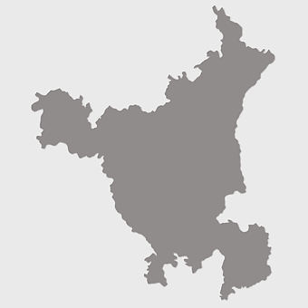
Haryana blank map, Haryana silhouette, states of India map, black and white Haryana map, India geography outline, Haryana region illustration, Indian state borders graphic -
1024x1024px

Flag of Indonesia Map, black silhouette map, komodo travel, monochrome Indonesia map, Southeast Asia geography, archipelago nation, island nation outline -
1137x1137px

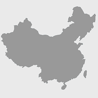
China monochrome map, China silhouette, blank China map, provinces of China, Chinese geography outline, China political regions, China cartography design -
943x1091px

blank India map, states and territories of India outline, monochrome Indian political map, central India geography, Indian borderlines illustration, subcontinental regions layout, location markers on India无声無息无声无息无声无息China -
800x583px

Mexico United States border map, blank political map, black and white world map, monochrome country diagram, international geography layout, cartographic line art, travel destination atlas -
606x600px

Uttar Pradesh map, black and white map, blank map of Uttar Pradesh, travel map India, geographical outline, state boundaries, regional division -
2000x2208px

Santa Cruz Department map, Departments of Bolivia Atlas, blank map of Bolivia, line Art map, Bolivia political divisions, South American geography, Bolivian department boundaries -
2292x2334px

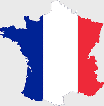
Flag of France Map, French Country outline, blank France map, tricolor France flag, European nation borders, French geography, national symbol design -
800x738px

Australia monochrome map, black silhouette world map, Australia blank map, geography atlas, Australian continent outline, global monochrome cartography, earth silhouette illustration -
1024x1024px

Japan map silhouette, black and white Japan map, Japan prefectures outline, monochrome Japan map, Japanese geography illustration, Asia travel icon, country shape graphic -
1500x1500px

Chile blank map, black and white map, line art map, travel world map, South America geography, country outline, map design -
2400x1800px

Maharashtra Map illustration, UK geography, monochrome area diagrams, line art states, geographic boundary outlines, regional cartography design, geopolitical zone mapping -
600x600px

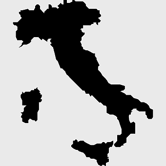
monochrome Italy map, black and white regions of Italy, silhouette map for travel, blank map of Italy, geographic outline of Italy, italy cartography visuals, italy administrative divisions illustration -
875x583px

Maharashtra map, Chief Minister Government, Devendra Fadnavis, India travel, Maharashtra regional divisions, map of states with percentages, Maharashtra political geography -
640x586px

Europe blank map, European political map, black and white globe, world map pattern, geographic layout, cartographic design, continental outline -
1610x847px

open book silhouette, black and white book design, line art book illustration, symmetrical book outline, minimalist book icon, educational graphic element, reading material icon -
1280x1275px

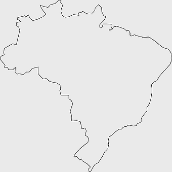
Brazil blank map, black and white Brazil outline, monochrome Brazil geography, presentation Brazil map, South America travel map, educational Brazil map, Brazil borders -
600x482px

Hardcover Book Outline, Open Books, black and white, line art, educational illustration, reading material, blank pages -
800x1200px

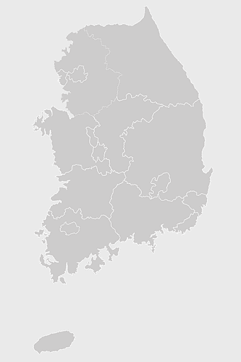
South Korean presidential election 2017 map, provinces of South Korea, black and white Korea map, South Korea blank map, Korean political geography, Korean election results visualization, Korean regional boundaries -
799x334px

world map silhouette, black and white globe decal, monochrome world map, blank map wall art, global geography decor, earth outline sticker, international atlas design -
900x900px

India blank map, monochrome India silhouette, India map line art, black and white India map, India geographic outline, India country shape, India political borders -
600x600px

Europe blank map, white globe world map, Europe classical borders, white political map, European geographic outline, continental map art, blank map designs -
1600x1600px

black circle frame, thin black circle, monochrome circle art, white circle outline, simple geometric shapes, minimalist line art, educational diagram elements -
2000x2000px

black Brazil map illustration, Flag of Brazil blank map, black and white cartography, topo map of Brazil, geographic outline of Brazil, line art map design, early world map style -
1463x1238px

Europe Map, blue silhouette map, travel world map, European geography, continent outline, cartographic design, regional borders
