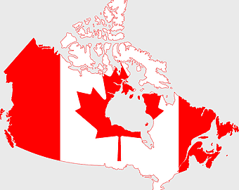
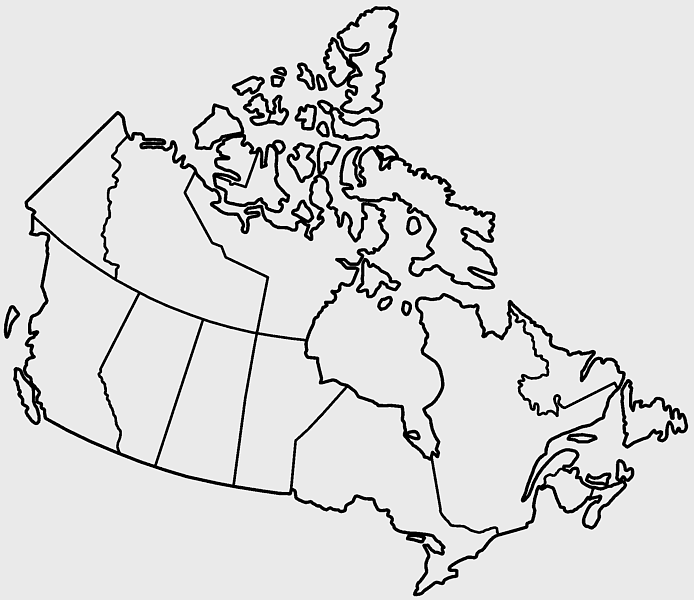
Canada blank map, provinces and territories, black and white drawing, monochrome world map, Canadian geography, territorial boundaries, administrative divisions, PNG
keywords
- Canada blank map
- provinces and territories
- black and white drawing
- monochrome world map
- Canadian geography
- territorial boundaries
- administrative divisions
License: Personal use only
More related PNGs
-
1000x365px

Indonesia blank map, black silhouette map, monochrome world map, outline map of Indonesia, geographical outline, travel map design, cartographic illustration -
2152x1744px

Canada map silhouette, black and white Canada map, Canadian geography outline, monochrome Canada map, Canadian political boundaries, North American cartography, Canadian territorial shape -
1979x1675px

Canada flag map, Canadian maple leaf design, national flag of Canada, scalable Canada map, Canadian geography illustration, patriotic Canadian symbols, Canadian cultural icons -
1280x1584px

Flag of Germany, Allied-occupied Germany Map, blank Map, red yellow black, German territorial divisions, historical Germany map, post-war Germany borders -
578x578px

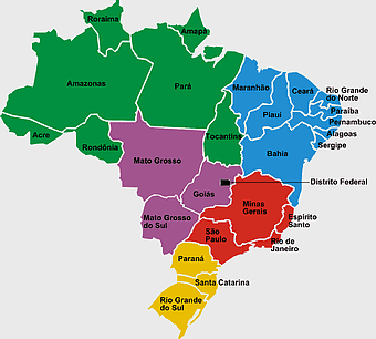
Brazil map, black and white map, mapa polityczna, travel world, South America geography, political division, country borders -
1200x641px

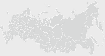
Russia blank map, black and white Russia map, monochrome Russia map, white Russia map, Russian geography, political map of Russia, Russia outline map -
2000x2729px

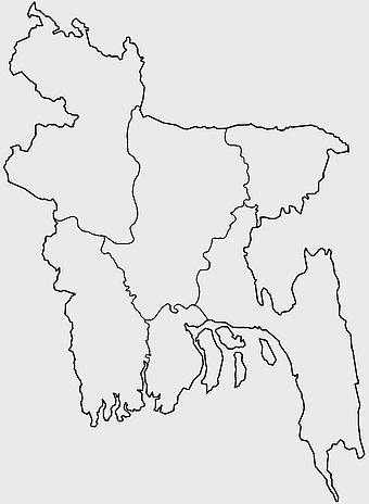
Bangladesh blank map, districts of Bangladesh, division of Bangladesh, black and white map, geographical outline, administrative regions, country borders -
2957x3172px

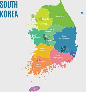
South Korea map, Seoul location, Gangwon province, Jeju island, Korean geography, regional divisions, administrative boundaries, png -
2400x1190px

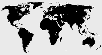
world map, blank map, natural Earth, global geography, earth continents, international atlas -
1200x1200px

world map, computer-generated world map, black and white world map, пробковая карта мира, global geography illustration, international map design, earth continents outline -
1280x625px

Tokat Province map, Provinces of Turkey black and white, Istanbul region outline, Amasya location on map, Turkish geography illustration, blank Turkey provinces chart, Black Sea region cartography -
7506x8000px

India blank map, orange India silhouette, India world map design, stock India map, Indian geography outline, map of South Asia, India political borders -
2339x1377px

Russia Map silhouette, black and white Russia map, blank Russia map, monochrome world map, Russian geography outline, Eurasian landmass shape, northern hemisphere cartography -
800x800px

Dirt Texture, monochrome texture, white texture, black and white texture, texture mapping -
1437x1495px

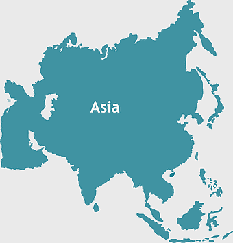
Asia continental map, Asia Europe globe, mercator projection map, blank Asia map, world geography, global cartography, continental boundaries -
892x906px

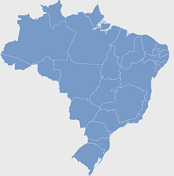
Brazil regions map, blank Brazil map, political map of Brazil, ecoregions of Brazil, South American geography, Brazilian states outline, map of Brazilian territories -
700x838px

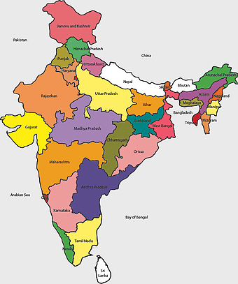
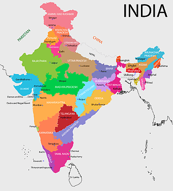
India Map illustration, India political map, blank India map, India state boundaries, Indian subcontinent geography, South Asia cartography, detailed India region map -
1644x2400px

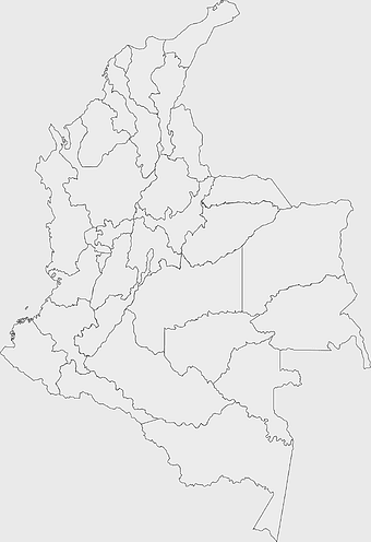
Colombia map, monochrome map, black and white map, travel world map, South America geography, political boundaries, regional divisions -
3001x1099px

grey Indonesia map, blank globe illustration, monochrome country map, flat design travel map, Southeast Asia geography, archipelago outline, island nation cartography -
1060x660px

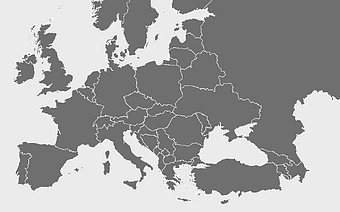
Europe blank map, monochrome world map, black and white geography, cartography europe, political map analysis, continental borders visualization, geographic layout study -
1024x377px

Flag of Indonesia Map, black and white map, Indonesia line art, monochrome travel map, Southeast Asia geography, archipelago illustration, political boundaries -
3638x4000px

India states and territories map, blank India map, India political map, India regions map, Indian subcontinent map, India administrative divisions, India geography map -
1280x580px

red and white map illustration, Flag of Indonesia Brunei Map, greater Indonesia map, blank map with flag design, Southeast Asia political map, cartographic design elements, regional geography illustration -
1280x689px

world map drawing, monochrome globe art, white line tattoo, blank map stencil, global geography outline, earth continents sketch, minimalist cartography design -
500x500px

Maharashtra blank map, black and white silhouette, travel world map, stock map image, geographic outline, state boundary illustration, cartographic design -
742x866px

South America map, Latin America political map, blank Americas map, latino integration, South American geography, political boundaries Americas, continental map analysis -
2937x2645px

Brazil regions map, South Region Brazil geography, Southeast Region Brazil political division, North Region Brazil ecoregion, Brazilian state boundaries, map of Brazilian territories, Brazilian regional subdivisions -
1200x1584px

Colombia departments map, Putumayo Department outline, Boyacá Department geography, blank map of Colombia, Colombian regional boundaries, South American departmental divisions, cultural regions of Colombia -
882x1280px

South America map coloring page, Latin America blank map, monochrome world map, black and white continent outline, educational geography illustration, printable line art map, travel world map design -
1001x555px

Russia political map, карта россии, world map cartography, mapa polityczna Russia, Russian federation regions, geopolitical boundaries, Eurasian territories -
2006x1259px

flag of Canada, maple leaf illustration, Canada map, red and white flag, Canadian national symbol, patriotic design, North American geography -
800x738px

Australia monochrome map, black silhouette world map, Australia blank map, geography atlas, Australian continent outline, global monochrome cartography, earth silhouette illustration -
563x618px

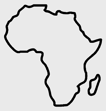
Blank Africa map, Africa world map, Blank map Africa, Africa outline, African continent map, unmarked Africa map, Africa geography chart -
1000x550px

Malaysia blank map, Malaysia map, travel world map, geography map, Southeast Asia map, dot pattern map, green background map -
612x416px

Mexico State Puebla map, administrative divisions of Mexico, black and white map, Puebla Mexico State, Mexican geography, state boundaries, regional cartography -
980x960px

black and white location icon, geolocation symbol, map pointer, travel world icons, navigation marker, digital mapping, location pin graphic, destination indicator -
2953x1911px

world map silhouette, monochrome world map, black and white globe, raster world map, global atlas design, earth map illustration, political map outline -
1000x526px

gray world map, dot distribution map, monochrome globe, black and white cartography, global geography illustration, international point map, world atlas design -
1500x804px

blank world map, black silhouette map, mollweide projection map, monochrome world wallchart, global geography poster, flat earth logo, high-contrast atlas design -
799x334px

world map silhouette, black and white globe decal, monochrome world map, blank map wall art, global geography decor, earth outline sticker, international atlas design -
500x500px

globe monochrome silhouette, equirectangular projection map, world map metal powder, black and white earth, global geography illustration, cartographic design, monochromatic planet image -
1069x665px

blank map Russia, white world map, black and white monochrome map, Asia continent map, outline drawing maps, geopolitical map regions, line art geography charts -
800x1200px

South Korean presidential election 2017 map, provinces of South Korea, black and white Korea map, South Korea blank map, Korean political geography, Korean election results visualization, Korean regional boundaries -
768x436px

blank world map, monochrome globe outline, black and white world map, line art map, global geography illustration, minimalist earth drawing, world atlas design -
1502x1658px

Africa silhouette map, black and white Africa map, monochrome Africa graphic, blank Africa map, African continent outline, geographical Africa shape, Africa continent -
5008x6935px

texture mapping, retro paper, particles background, monochrome design, shading texture, granule pattern, black and white, superimposed texture, old building texture, adobe fireworks texture -
1024x681px

world map silhouette, black and white world map, monochrome world map, world map countries, global geography illustration, international map outline, earth continents graphic -
1428x732px

world map mercator projection, monochrome political map, south-up world map, blank map for coloring, global geography illustration, international borders outline, cartographic design elements -
851x675px

flag of Canada map, Canadian maple leaf symbol, world map with national flags, red and white Canada flag, Canadian geography illustration, North American country outline, patriotic Canadian emblem -
2000x1022px

world map continents, robinson projection map, blank world map, travel world map, global geography, earth atlas, international borders -
800x465px

monochrome world map, mercator projection silhouette, black and white globe, early world maps, global geography illustration, cartographic design, vintage map aesthetics -
624x630px

Earth Globe Sketch, black and white globe drawing, monochrome world map illustration, line art earth diagram, global geography sketch, planet earth outline, terrestrial globe artwork -
512x512px

globe silhouette, monochrome earth symbol, black and white world icon, earth globe computer graphic, global geography illustration, planet earth outline, universal world map design -
359x768px

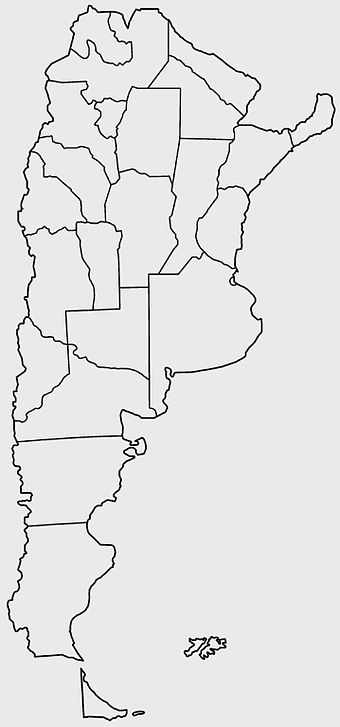
Argentina blank map, Argentine Northwest geography, black and white outline, coloring book map, South American cartography, silhouette map, travel atlas design -
1200x1200px

India monochrome map, Indian silhouette map, blank India map, black and white India map, India geographic outline, India country shape, India border illustration -
2000x2208px

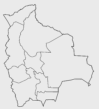
Santa Cruz Department map, Departments of Bolivia Atlas, blank map of Bolivia, line Art map, Bolivia political divisions, South American geography, Bolivian department boundaries -
498x560px

Latin America map, South America political map, black and white Americas map, world map with Latin America, geographic layout of South America, political boundaries of Latin America, monochrome continent map -
640x521px

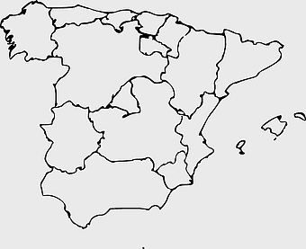
Spain blank map, autonomous communities outline, black and white geography map, spain political regions, spain educational map, spain regional divisions, spain line art map -
1218x1218px

globe logo, world map icon, earth circle, black and white globe, global geography, planet illustration, terrestrial sphere -
800x583px

Mexico United States border map, blank political map, black and white world map, monochrome country diagram, international geography layout, cartographic line art, travel destination atlas -
1024x1024px

Flag of Indonesia Map, black silhouette map, komodo travel, monochrome Indonesia map, Southeast Asia geography, archipelago nation, island nation outline -
800x700px

Minsk blank map, Flag of Belarus, OpenStreetMap map, black and white geography, Belarusian political divisions, European cartography, monochrome country outline -
1600x781px

turkish kurdistan map, provinces of turkey map, eastern anatolia region map, blank turkey map, geographic boundaries of turkey, turkey provinces, turkey area visualization -
600x600px

monochrome Italy map, black and white regions of Italy, silhouette map for travel, blank map of Italy, geographic outline of Italy, italy cartography visuals, italy administrative divisions illustration -
4167x2233px

black and white world map, monochrome global silhouette, digital world atlas, black map outline, planetary geography, international cartography, earth chart graphics -
576x602px

Africa blank map, black and white continent outline, monochrome line art geography, stock Africa, geographical sketch, minimalist cartography, white background continents -
606x600px

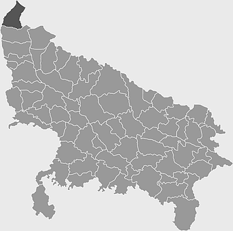
Uttar Pradesh map, black and white map, blank map of Uttar Pradesh, travel map India, geographical outline, state boundaries, regional division -
811x342px

world map Indonesia, monochrome globe, black and white map, atlas diagram, global geography, cartographic design, international cartography -
1024x1024px

Rajasthan map, blue map outline, travel world map, blank map template, geographical region, state boundary, cartographic design -
980x988px

globe icon, world map symbol, internet logo, black and white globe, digital world representation, global connectivity graphic, web navigation emblem -
688x838px

South America blank map, Central America monochrome map, Latin America line art, Americas geography illustration, political map of South America, educational map drawing, travel map of Americas -
1272x660px

Europe and Asia map, Afro-Eurasia world map, black and white world map, United States and Europe map, global geography chart, continental boundaries illustration, international cartography design -
640x640px

Venezuela flag map, administrative divisions of Venezuela, cryptocurrency Petro map, travel world Venezuela, political map of Venezuela, South American country map, Venezuelan flag design -
1024x1024px

Japan map silhouette, black and white Japan map, Japan prefectures outline, monochrome Japan map, Japanese geography illustration, Asia travel icon, country shape graphic -
3958x2596px

world map silhouette, monochrome world map, equirectangular projection map, blank world map, global geography, international atlas, earth outline
