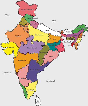
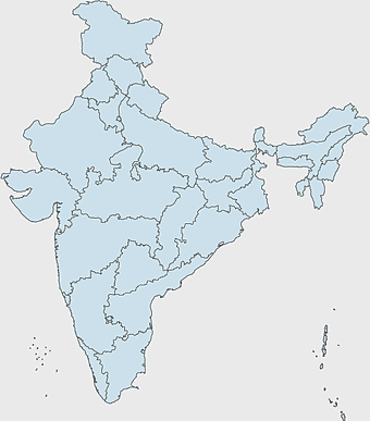
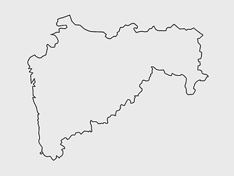
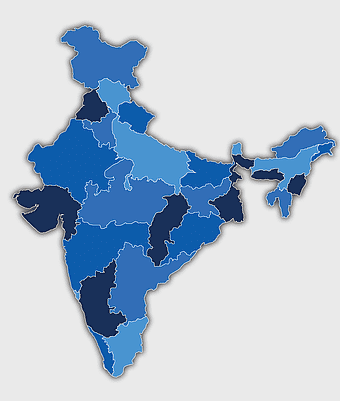
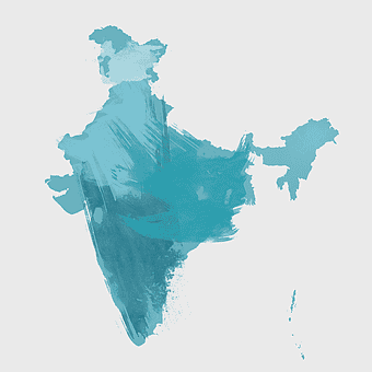
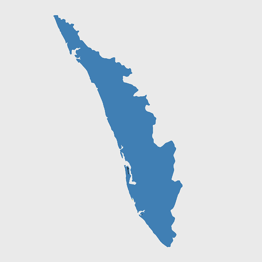
Kerala Map, India silhouette, blank Kerala map, travel Kerala, South India state, geographical outline, blue region map, PNG
keywords
- Kerala Map
- India silhouette
- blank Kerala map
- travel Kerala
- South India state
- geographical outline
- blue region map
License: Personal use only
More related PNGs
-
3604x4798px

geographic outline, state border, cartographic design, landmass representation, regional map, coastal depiction, geographical frame -
1000x365px

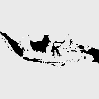
Indonesia blank map, black silhouette map, monochrome world map, outline map of Indonesia, geographical outline, travel map design, cartographic illustration -
700x700px

India silhouette map, India map drawing, India world map, India map design, Indian subcontinent outline, South Asia map illustration, India geographic shape -
7506x8000px

India blank map, orange India silhouette, India world map design, stock India map, Indian geography outline, map of South Asia, India political borders -
1200x1200px

India monochrome map, Indian silhouette map, blank India map, black and white India map, India geographic outline, India country shape, India border illustration -
700x838px

India Map illustration, India political map, blank India map, India state boundaries, Indian subcontinent geography, South Asia cartography, detailed India region map -
900x900px

Nizamabad District Map, Telangana State Outline, India Political Map, Yellow Region Highlight, Geographical Borders, Administrative Division, Regional Cartography -
510x540px

India Globe Map, India world map, orange India map, blank India map, geographical representation, cartographic design, subcontinent outline -
892x906px

Brazil regions map, blank Brazil map, political map of Brazil, ecoregions of Brazil, South American geography, Brazilian states outline, map of Brazilian territories -
1024x1024px

Rajasthan map, blue map outline, travel world map, blank map template, geographical region, state boundary, cartographic design -
675x421px

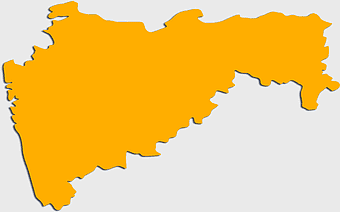
Maharashtra map, Maharashtra state outline, Maharashtra geography, Maharashtra region, India state maps, map of Indian states, Maharashtra borders, png -
980x618px

black silhouette USA map, blank United States map, monochrome map of USA, travel world map USA, geographic outline of America, continental United States shape, minimalist USA cartography -
500x500px

Maharashtra blank map, black and white silhouette, travel world map, stock map image, geographic outline, state boundary illustration, cartographic design -
595x689px

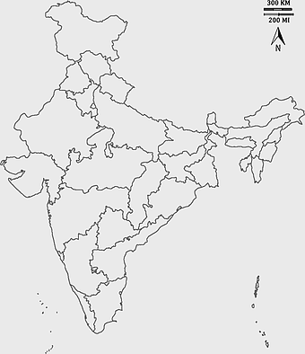
India blank map, political map of India, outline of India, white line map, geographical visualization, country borders, subcontinent layout -
1600x1000px

India silhouette map, black and white India map, India political map, India map collection, geographical outline of India, country borders of India, South Asia map illustration -
1502x1658px

Africa silhouette map, black and white Africa map, monochrome Africa graphic, blank Africa map, African continent outline, geographical Africa shape, Africa continent -
734x815px

India silhouette map, black and white India map, monochrome India outline, India map, geographical representation of India, country shape illustration, Indian subcontinent outline -
768x768px

Haryana blank map, Haryana silhouette, states of India map, black and white Haryana map, India geography outline, Haryana region illustration, Indian state borders graphic -
600x600px

Brazil blank map, blank Brazil map, blue world map, stock Brazil diagram, geographical layout, country outline, South America borders -
359x768px

Argentina blank map, Argentine Northwest geography, black and white outline, coloring book map, South American cartography, silhouette map, travel atlas design -
2400x1800px

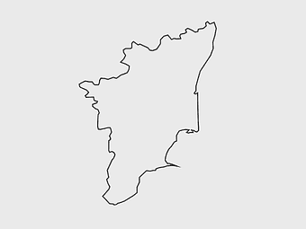
Tamil Nadu map outline, black and white India map, monochrome line art map, travel diagram India, geographic boundary illustration, state region outline, cartographic sketch Tamil Nadu -
518x590px

Telangana state map, India blank map, states and territories of India, road map of India, political map of India, geographical map illustration, cartographic representation of India -
606x600px

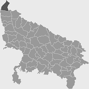
Uttar Pradesh map, black and white map, blank map of Uttar Pradesh, travel map India, geographical outline, state boundaries, regional division -
1500x1500px

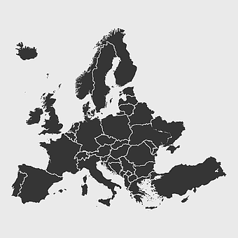
Europe Map, black and white map, silhouette map, travel world, European countries, geographic outline, continent illustration -
900x900px

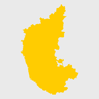
Karnataka Legislative Assembly election map, India political map, yellow Karnataka outline, Karnataka election results map, Indian state boundaries, regional election visualization, political geography of Karnataka -
1656x2282px

Bangladesh blank map, green map outline, mercator projection map, travel world map, geographic region, country borders, cartographic design -
2000x2729px

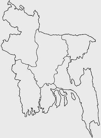
Bangladesh blank map, districts of Bangladesh, division of Bangladesh, black and white map, geographical outline, administrative regions, country borders -
1680x2127px

location icon, black symbol, map locator, travel world, navigation marker, geographic pointer, destination highlight, mapping tool -
4167x2084px

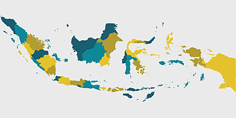
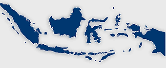
Indonesia map, flat design map, yellow and blue map, travel world map, geographic layout, island nation map, southeast asia cartography -
3001x1099px

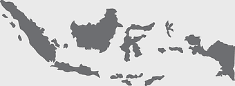
grey Indonesia map, blank globe illustration, monochrome country map, flat design travel map, Southeast Asia geography, archipelago outline, island nation cartography -
1601x1920px

India map outline, India geographic shape, India country borders, India silhouette, map design, geographical illustration, country outline graphic, png -
544x488px

Ukraine map silhouette, black and white Ukraine map, Ukrainian fauna map, travel Ukraine map, geographic outline of Ukraine, Ukrainian landscape illustration, Eastern European cartography -
943x1091px

blank India map, states and territories of India outline, monochrome Indian political map, central India geography, Indian borderlines illustration, subcontinental regions layout, location markers on India无声無息无声无息无声无息China -
512x512px

Maharashtra Blank map, orange silhouette map, road map topo, city map India, geospatial visualization, state boundary outlines, cartographic graphic design -
758x858px

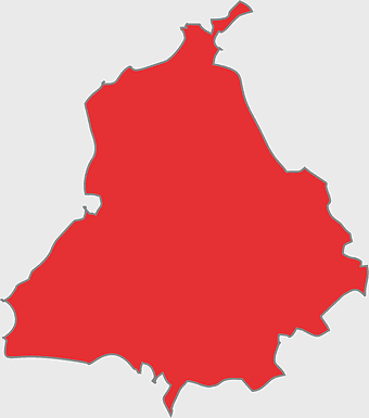
Punjabi language map, Punjab region, red map outline, India travel map, Punjabi culture, geographical map of Punjab, Punjab state borders -
900x900px

India blank map, monochrome India silhouette, India map line art, black and white India map, India geographic outline, India country shape, India political borders -
1480x793px

map location icon, medicines authority logo, travel world map, map pointer, geographic navigation, location marker design, cartographic symbol -
1266x1113px

gray and white map illustration, location map icon, map with pin, travel world map, navigation guide, geographic locator, destination finder -
600x656px

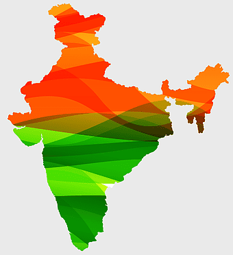
India map silhouette, orange and green India map, blank India map, geography of India, Indian subcontinent map, South Asia map outline, India topography visualization -
597x656px

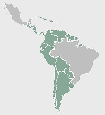
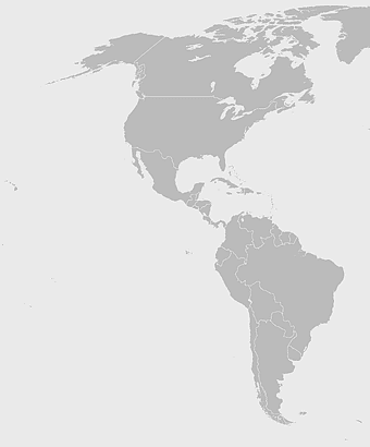
South America map, Latin America political map, blank Americas map, travel world map, international borders, geographic regions, continental overview -
1280x580px

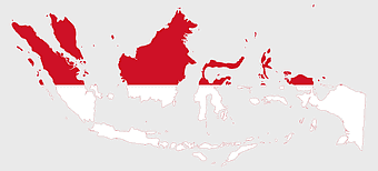
red and white map illustration, Flag of Indonesia Brunei Map, greater Indonesia map, blank map with flag design, Southeast Asia political map, cartographic design elements, regional geography illustration -
1249x1041px

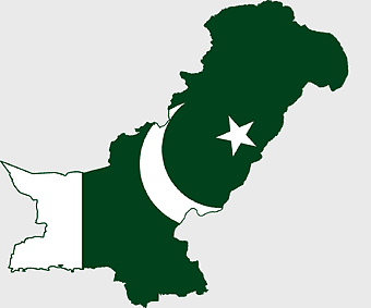
Flag of Pakistan map, green and white Pakistan map, Pakistan flag silhouette, topo map of Pakistan, Islamic country map, national symbol map, geographic outline of Pakistan -
1024x1024px

location pin icon, flat design map symbol, red navigation marker, travel world location, digital mapping tools, geographic location pointer, destination marker graphic -
1200x1584px

Colombia departments map, Putumayo Department outline, Boyacá Department geography, blank map of Colombia, Colombian regional boundaries, South American departmental divisions, cultural regions of Colombia -
640x640px

flags of South America map, Latin America country flags, South America blank map, flags of the Americas, South American travel destinations, Andean nation symbols, Mercosur member states -
1463x1238px

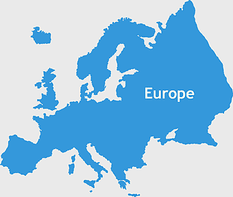
Europe Map, blue silhouette map, travel world map, European geography, continent outline, cartographic design, regional borders -
2400x1800px

Maharashtra Map illustration, UK geography, monochrome area diagrams, line art states, geographic boundary outlines, regional cartography design, geopolitical zone mapping -
1331x2930px

Flag of Argentina Map, argentina travel map, yellow sun emblem, blank map design, south america geography, national symbol art, argentine culture illustration -
1115x1280px

India flag map, Indian national symbol, tricolor India map, blank India map, political map of India, Ashoka Chakra design, Indian geography outline -
1920x2400px

Bangladesh silhouette map, black and white Bangladesh map, blank Bangladesh map, monochrome Bangladesh map, Bangladesh geographic outline, Bangladesh country shape, Bangladesh political borders -
960x1132px

India map silhouette, Indian geographic region, high-resolution India outline, India political divisions, India landmass representation, silhouette illustration of India, Indian subcontinent visual map -
800x800px

India blank map, turquoise India map, blue India map, India political map, India geographic outline, India cartography, India map illustration -
1920x2795px

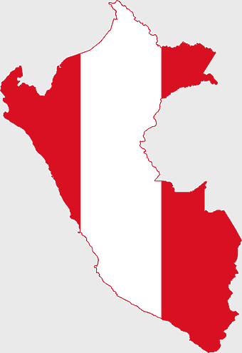
Peru flag map, red and white flag silhouette, national flag of Peru, travel world map, South American country flags, geographic outline of Peru, flag-themed cartography -
800x800px

Argentina map outline, black and white Argentina silhouette, white text Argentina map, blank travel map of Argentina, contour line country shape, monochrome graphic, South America geographical illustration -
1024x1024px

Flag of Indonesia Map, black silhouette map, komodo travel, monochrome Indonesia map, Southeast Asia geography, archipelago nation, island nation outline -
684x980px

map location icon, black and white location symbol, travel world map art, google maps logo, navigation pin graphic, destination marker design, geographic pointer illustration -
600x600px

monochrome Italy map, black and white regions of Italy, silhouette map for travel, blank map of Italy, geographic outline of Italy, italy cartography visuals, italy administrative divisions illustration -
704x980px

geolocation symbol, black and white location icon, map location marker, travel world icon, navigation pin, digital mapping tool, geographic positioning system -
1062x399px

Indonesian Map, red map outline, travel World, cartography, Southeast Asia geography, archipelago nation, island nation map -
4351x3416px

Gujarat state map, Gujarat geographical layout, Gujarat district boundaries, Gujarat region outline, Indian state cartography, regional mapping, administrative divisions visualization, png -
882x1280px

South America map coloring page, Latin America blank map, monochrome world map, black and white continent outline, educational geography illustration, printable line art map, travel world map design -
3638x4000px

India states and territories map, blank India map, India political map, India regions map, Indian subcontinent map, India administrative divisions, India geography map -
1300x1300px

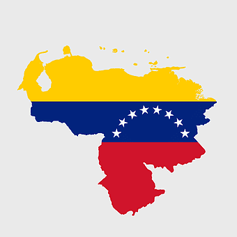
Venezuela Petro Map Flag, Venezuelan Flag Map, cryptocurrency Venezuela map, travel Venezuela map, South America country flag, national symbol Venezuela, Venezuela geographic representation -
740x444px

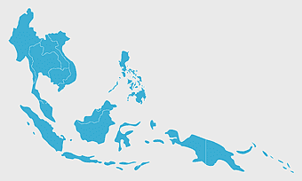
Southeast Asia map, blue ocean map, travel Southeast Asia, top ten countries, geographical region, cartographic representation, regional atlas -
2937x2645px

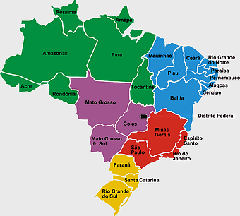
Brazil regions map, South Region Brazil geography, Southeast Region Brazil political division, North Region Brazil ecoregion, Brazilian state boundaries, map of Brazilian territories, Brazilian regional subdivisions -
1486x610px

Flag of Indonesia Map, Indonesian travel map, blue world map, Indonesian area map, Southeast Asia map, country outline map, travel destination map -
512x512px

Nigeria silhouette map, black and white map, monochrome drawing, blank Nigeria map, African country outline, geographical shape, travel destination graphic -
641x598px

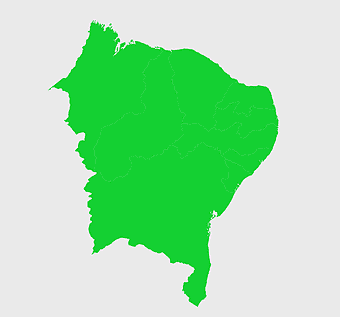
Bahia Brazil map, green Bahia map, Northeast Region Brazil map, Bahia travel map, Brazil geographic outline, green map silhouette, Bahia region cartography -
768x768px

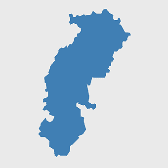
Chhattisgarh silhouette map, Government of Chhattisgarh line art, Chhattisgarh state outline, Chhattisgarh map illustration, Chhattisgarh geographic shape, Indian state map art, Chhattisgarh region drawing -
512x512px

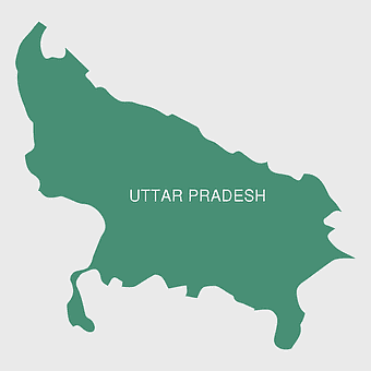
Uttar Pradesh map, silhouette, travel World, green design, Indian state outline, geographical boundary, map graphic -
2116x2552px

South America blank map, monochrome world map, Latin America atlas, black and white Americas, geopolitical map, continental outline, geographical chart -
688x838px

South America blank map, Central America monochrome map, Latin America line art, Americas geography illustration, political map of South America, educational map drawing, travel map of Americas -
2000x1367px

Flag of Mexico Map, Mexican flag overlay, travel Mexico, world map with flag, Mexican cartography, national emblem map, geographic flag design -
1000x1000px

north map symbol, cardinal direction icon, compass illustration, travel world map, navigation graphic, directional sign, geographic marker -
993x646px

Russia map silhouette, blank Russia map, Russian geography outline, black and white Russia outline, Eurasian region borders, political map of Europe and Asia, Slavic states boundaries
