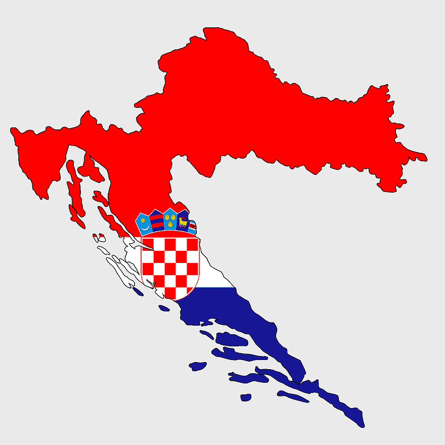
Counties of Croatia map, Croatian border flag, Dalmatia region, Slavonia area, Croatian historical regions, European country divisions, Croatian administrative boundaries, PNG
keywords
- counties of Croatia map
- Croatian border flag
- Dalmatia region
- Slavonia area
- Croatian historical regions
- European country divisions
- Croatian administrative boundaries
License: Personal use only
More related PNGs
-
2000x2729px

Bangladesh blank map, districts of Bangladesh, division of Bangladesh, black and white map, geographical outline, administrative regions, country borders -
900x900px

Nizamabad District Map, Telangana State Outline, India Political Map, Yellow Region Highlight, Geographical Borders, Administrative Division, Regional Cartography -
1280x684px

Russian Revolution map, Flag of Russia, Russia topo map, blue flag, Russian historical map, Soviet era map, Russian political divisions -
1280x1584px

Flag of Germany, Allied-occupied Germany Map, blank Map, red yellow black, German territorial divisions, historical Germany map, post-war Germany borders -
3604x4798px

geographic outline, state border, cartographic design, landmass representation, regional map, coastal depiction, geographical frame -
1000x1000px

Ukraine map, yellow and blue, travel Ukraine, Ukrainian symbol, Eastern European country, national flag design, geopolitical region -
440x512px

Flag of Italy, Kingdom of Italy Map, Italian Empire, map of Italy, Italian flag silhouette, boot-shaped country, European nation map -
2602x1952px

Europe political map, European globe map, world geography, European area map, European continent map, European countries outline, European map illustration -
2292x2334px

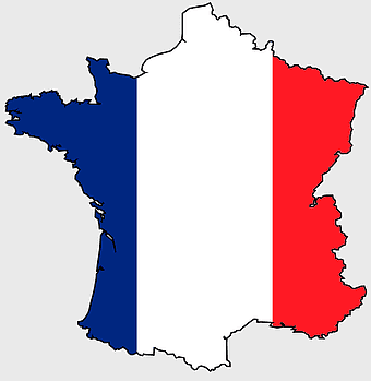
Flag of France Map, French Country outline, blank France map, tricolor France flag, European nation borders, French geography, national symbol design -
692x692px

Europe map, European countries, Vatican City, Flag of Malta, geographic cartography, historical European borders, green cartographic design -
1280x1280px

Flag of Spain, Spain map, national flag, red and yellow, European country flags, Iberian Peninsula, Spanish emblem design -
1280x1280px

Palestine map, Gaza region, Palestinian flag, Middle East conflict, territorial boundaries, geopolitical area, national identity, png -
640x640px

Venezuela flag map, administrative divisions of Venezuela, cryptocurrency Petro map, travel world Venezuela, political map of Venezuela, South American country map, Venezuelan flag design -
1280x580px

red and white map illustration, Flag of Indonesia Brunei Map, greater Indonesia map, blank map with flag design, Southeast Asia political map, cartographic design elements, regional geography illustration -
4351x3416px

Gujarat state map, Gujarat geographical layout, Gujarat district boundaries, Gujarat region outline, Indian state cartography, regional mapping, administrative divisions visualization, png -
578x578px

Brazil map, black and white map, mapa polityczna, travel world, South America geography, political division, country borders -
1095x2246px

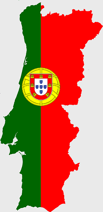
Portugal flag map, red and green flag, Flag of Portugal, national flag, Portuguese geography, Iberian Peninsula map, European country flags -
507x520px

flag of France, French national flag, France map outline, European country flags, French tricolor design, French patriotic symbol, French cultural iconography -
2937x2645px

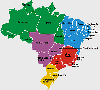
Brazil regions map, South Region Brazil geography, Southeast Region Brazil political division, North Region Brazil ecoregion, Brazilian state boundaries, map of Brazilian territories, Brazilian regional subdivisions -
2206x2190px

European Union member states map, Flag of Europe, UK map, Eurozone countries, European geography, EU political boundaries, European Union membership -
1491x1600px

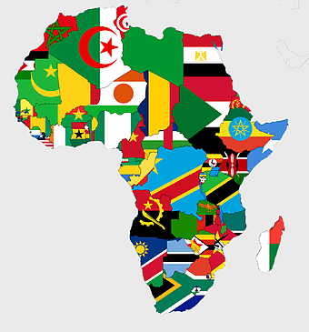
Africa map with flags, African national flags, world map with country flags, pan-African flag design, African political boundaries, continent flag collage, African cultural symbols -
555x802px

Peru flag map, flag of Peru, Peru map outline, red and white flag, South American country flags, national symbol illustration, geographic boundary design -
1200x1584px

Colombia departments map, Putumayo Department outline, Boyacá Department geography, blank map of Colombia, Colombian regional boundaries, South American departmental divisions, cultural regions of Colombia -
1486x610px

Flag of Indonesia Map, Indonesian travel map, blue world map, Indonesian area map, Southeast Asia map, country outline map, travel destination map -
1217x912px

Flag of China, Provinces of China, red map, national flag, Chinese geography, Asian country map, star symbols -
2957x3172px

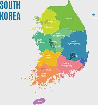
South Korea map, Seoul location, Gangwon province, Jeju island, Korean geography, regional divisions, administrative boundaries, png -
4152x4612px

West Germany flag map, Germany national flag silhouette, blank map of West Germany, red yellow black Germany colors, German historical borders, European country outline, German travel landmarks -
2290x2285px

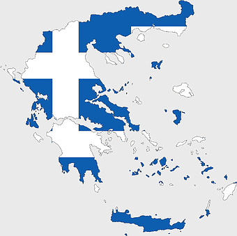
Flag of Greece map, Greek national symbol, Greece travel world map, Greek flag overlay, Hellenic geography, Mediterranean country borders, Aegean region cartography -
2262x1858px

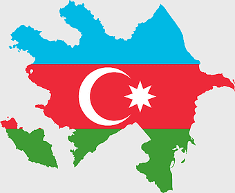
Flag of Azerbaijan, Azerbaijan country outline, national flag design, European borders map, Baku region, Caspian Sea proximity, Islamist cultural symbol -
2000x2025px

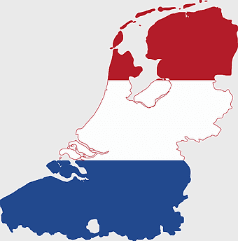
Netherlands Flanders map, Greater Netherlands flag, Dutch flag colors, Flanders region map, European political geography, Netherlands cultural regions, Netherlands historical territories -
612x416px

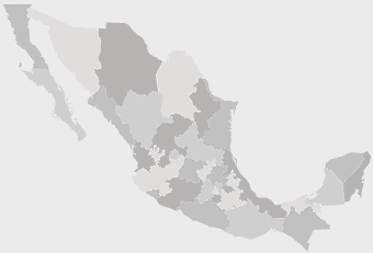
Mexico State Puebla map, administrative divisions of Mexico, black and white map, Puebla Mexico State, Mexican geography, state boundaries, regional cartography -
1249x1041px

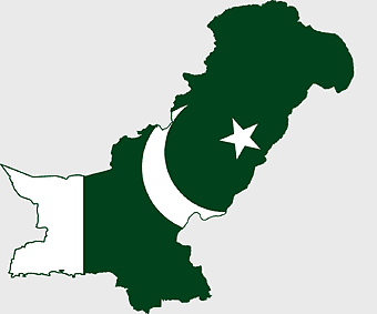
Flag of Pakistan map, green and white Pakistan map, Pakistan flag silhouette, topo map of Pakistan, Islamic country map, national symbol map, geographic outline of Pakistan -
2282x834px

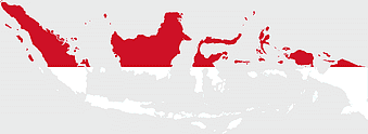
Indonesia flag map, red and white map illustration, national symbols of Indonesia, flag of Indonesia map, Indonesian geography design, Southeast Asia travel map, Asian country flags -
700x838px

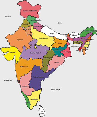
India Map illustration, India political map, blank India map, India state boundaries, Indian subcontinent geography, South Asia cartography, detailed India region map -
1208x1208px

European Union Map, info map Europe, European continent outline, европа карта, Geo-political boundaries visualization, Cartographic European regions, International borders depiction -
534x1600px

Palestinian territories map, flag of Palestine, State of Palestine, mandatory Palestine, Middle East geopolitics, Arab flag design, historical land division -
642x607px

flag of Germany, West Germany map, Germany national flag, black red yellow, German silhouette, European country flags, historical German regions -
550x550px

Flag of Austria, Austrian national flag, red and white stripes, European country flags, Austrian emblem, national symbol, historical European flags -
872x1600px

flag of Thailand map, Thai national flag artwork, Thailand topo map collection, red and blue flag distribution, Southeast Asia cartography, country boundary illustration, geographic emblem design -
998x1280px

Ireland map, green and white contour, travel world map, blank area map, Irish flag design, geographic outline, European country borders -
1500x1500px

Europe Map, black and white map, silhouette map, travel world, European countries, geographic outline, continent illustration -
2400x1800px

Maharashtra Map illustration, UK geography, monochrome area diagrams, line art states, geographic boundary outlines, regional cartography design, geopolitical zone mapping -
1265x1280px

Europe map, European countries chart, digital drawing of Europe, educational European map, European geography, continental map analysis, European borders visualization, png -
5817x8000px

Yellow Area Pattern, Gold Border Frame, decorative gold frame, gold-colored border design, ornate frame, vintage border, elegant texture mapping -
720x895px

Norway blank map, Norwegian geography, flag of Norway, travel world map, Scandinavian cartography, Nordic region outline, European country borders -
720x720px

Ukraine map with flag, Ukrainian national colors, contour line of Ukraine, yellow and blue map, Ukrainian geography, Eastern European borders, Ukrainian travel guide -
1024x1024px

Flag of Italy, Italian flag icon, green white red colors, Italy travel symbol, national emblem graphic, circular flag design, European country flags -
900x900px

Karnataka Legislative Assembly election map, India political map, yellow Karnataka outline, Karnataka election results map, Indian state boundaries, regional election visualization, political geography of Karnataka -
2000x2670px

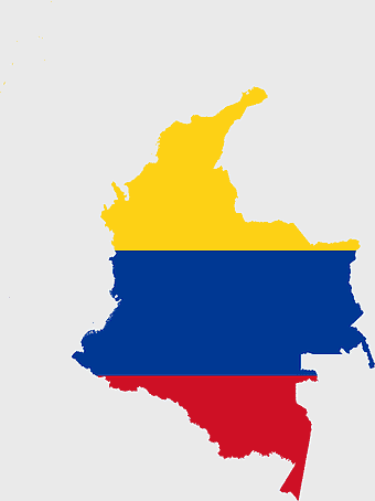
Gran Colombia map, Flag of Colombia silhouette, Colombia national flag, yellow Colombia map, South American historical maps, Colombian geography visuals, historical flag designs -
2000x5697px

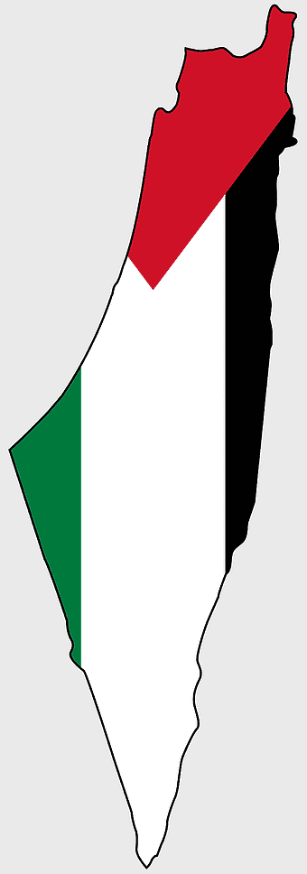
Palestine Flag Map, State of Palestine Map, Mandatory Palestine Flag, Palestine Flag Artwork, Middle East Political Map, Arab Flag Design, Historical Palestine Territory -
444x701px

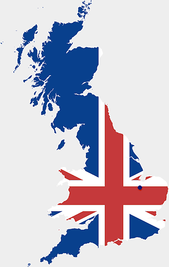
England Map UK, flag of the United Kingdom, map of Great Britain, blue and red design, British geography, UK political division, Union Jack overlay -
608x1202px

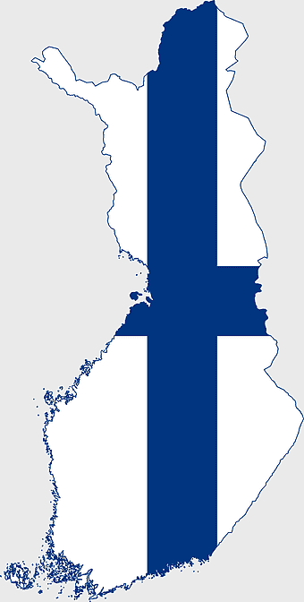
Flag of Finland, Finnish national symbol, Finland country map, Finnish flag design, Nordic country flags, European nation maps, Scandinavian cultural icons -
1126x1327px

Regions of Italy Map, black and white Italy map, line art Italy regions, Italy area divisions, Italian geography outline, Italian travel map, Italian regional borders -
815x543px

Ukraine political map, Ukrainian regions, world map area, travel Ukraine, European geography, cartography visualization, geopolitical boundaries -
850x504px

Kazakhstan Mercator Projection Map, Kazakhstan Topographic Map, Blank Kazakhstan Map, Kazakhstan Physical Map, Central Asia Geographic Layout, Eurasian Country Borders, Kazakhstan Regional Divisions -
1644x2400px

Colombia map, monochrome map, black and white map, travel world map, South America geography, political boundaries, regional divisions -
1001x555px

Russia political map, карта россии, world map cartography, mapa polityczna Russia, Russian federation regions, geopolitical boundaries, Eurasian territories -
800x700px

Minsk blank map, Flag of Belarus, OpenStreetMap map, black and white geography, Belarusian political divisions, European cartography, monochrome country outline -
1979x1043px

Austria-Hungary map flag, Austrian national flag, red and white stripes, scalable map, historical geography, central European borders, imperial emblem design -
1300x1300px

Venezuela Petro Map Flag, Venezuelan Flag Map, cryptocurrency Venezuela map, travel Venezuela map, South America country flag, national symbol Venezuela, Venezuela geographic representation -
1656x2282px

Bangladesh blank map, green map outline, mercator projection map, travel world map, geographic region, country borders, cartographic design -
1200x1200px

India monochrome map, Indian silhouette map, blank India map, black and white India map, India geographic outline, India country shape, India border illustration -
700x700px

Italy Map graphics, map Of Italy, flag Of Italy, green area, Italian geography, European countries map, travel Italy destinations -
960x600px

Portugal flag, Portuguese national symbol, green and red rectangle, portuguese emblem, European country flags, national identity icons, world flag collection -
761x624px

Belgian flag silhouette, Belgium national flag map, red and yellow flag design, Belgian country flag, European national symbols, patriotic map art, flag-themed country outlines -
1200x630px

Indonesia flag map, red and white country illustration, Pembela Tanah Air map, Indonesian national symbol, Southeast Asia cartography, patriotic design elements, historical geography visuals -
719x460px

Switzerland flag map, Swiss national emblem, Swiss geography outline, flag of Switzerland, European country borders, political map of Europe, bordering nations of Switzerland -
522x729px

flag of Germany, black and white map, Germany national flag, monochrome travel map, European country flags, historical German symbols, geographic outline of Germany -
1463x1238px

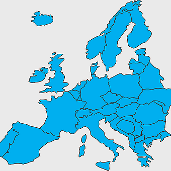
Europe Map, blue silhouette map, travel world map, European geography, continent outline, cartographic design, regional borders -
675x421px

Maharashtra map, Maharashtra state outline, Maharashtra geography, Maharashtra region, India state maps, map of Indian states, Maharashtra borders, png -
606x600px

Uttar Pradesh map, black and white map, blank map of Uttar Pradesh, travel map India, geographical outline, state boundaries, regional division -
700x700px

Netherlands map silhouette, blue Netherlands map, Netherlands travel map, Netherlands area map, Dutch geography, Holland cartography, European country outlines -
2000x3957px

Flag of Sweden map, Sweden-Norway Union map, blue and yellow flag, political map of Sweden, Scandinavian geography, Nordic borders, historical union map -
3638x4000px

India states and territories map, blank India map, India political map, India regions map, Indian subcontinent map, India administrative divisions, India geography map -
512x512px

Flag of Poland, banner of Poland, red and white flag, coat of arms of Poland, Polish national symbol, European country flags, horizontal stripes flag
