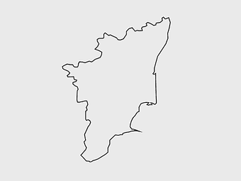
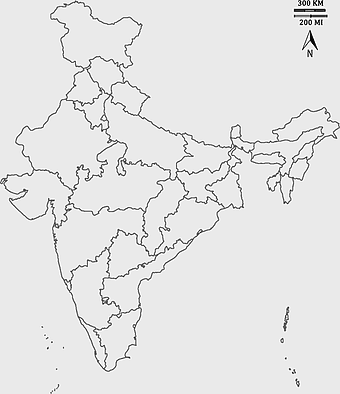
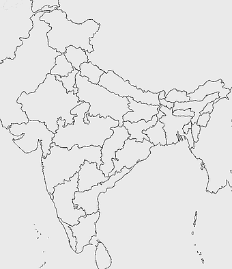
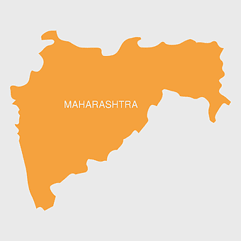
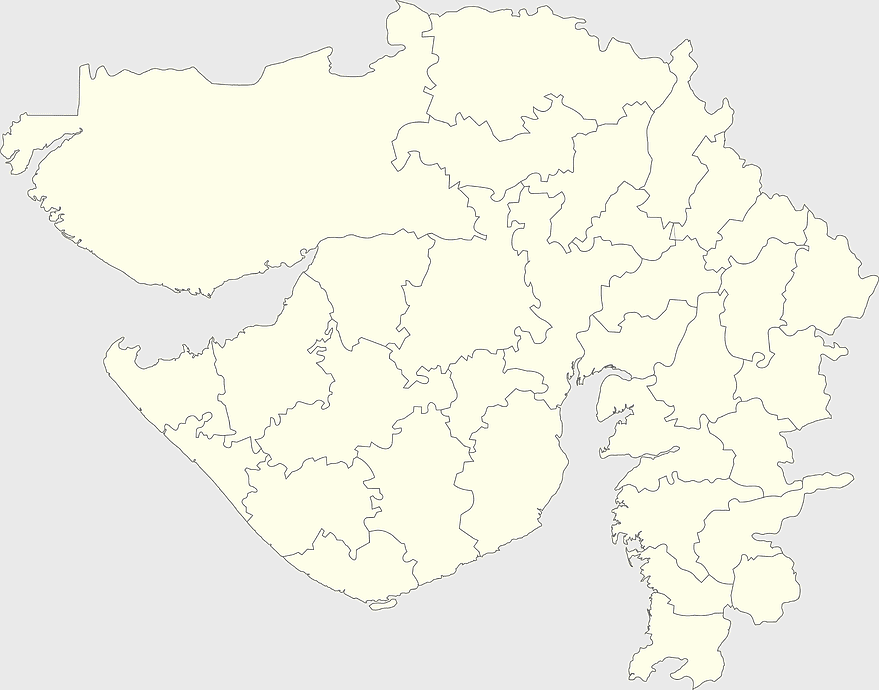
Gujarat state map, Gujarat geographical layout, Gujarat district boundaries, Gujarat region outline, Indian state cartography, regional mapping, administrative divisions visualization, png, PNG
keywords
- Gujarat state map
- Gujarat geographical layout
- Gujarat district boundaries
- Gujarat region outline
- Indian state cartography
- regional mapping
- administrative divisions visualization
- png
License: Personal use only
More related PNGs
-
900x900px

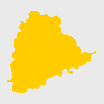
Nizamabad District Map, Telangana State Outline, India Political Map, Yellow Region Highlight, Geographical Borders, Administrative Division, Regional Cartography -
3604x4798px

geographic outline, state border, cartographic design, landmass representation, regional map, coastal depiction, geographical frame -
2000x2729px

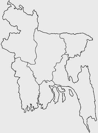
Bangladesh blank map, districts of Bangladesh, division of Bangladesh, black and white map, geographical outline, administrative regions, country borders -
700x838px

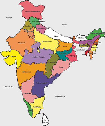
India Map illustration, India political map, blank India map, India state boundaries, Indian subcontinent geography, South Asia cartography, detailed India region map -
900x900px

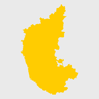
Karnataka Legislative Assembly election map, India political map, yellow Karnataka outline, Karnataka election results map, Indian state boundaries, regional election visualization, political geography of Karnataka -
2400x1800px

Maharashtra Map illustration, UK geography, monochrome area diagrams, line art states, geographic boundary outlines, regional cartography design, geopolitical zone mapping -
675x421px

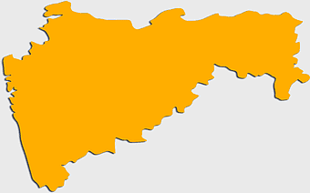
Maharashtra map, Maharashtra state outline, Maharashtra geography, Maharashtra region, India state maps, map of Indian states, Maharashtra borders, png -
4167x2084px

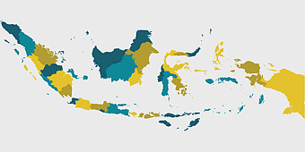
Indonesia map, flat design map, yellow and blue map, travel world map, geographic layout, island nation map, southeast asia cartography -
900x900px

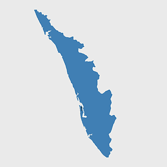
Kerala Map, India silhouette, blank Kerala map, travel Kerala, South India state, geographical outline, blue region map -
612x416px

Mexico State Puebla map, administrative divisions of Mexico, black and white map, Puebla Mexico State, Mexican geography, state boundaries, regional cartography -
1024x1024px

Rajasthan map, blue map outline, travel world map, blank map template, geographical region, state boundary, cartographic design -
700x700px

India silhouette map, India map drawing, India world map, India map design, Indian subcontinent outline, South Asia map illustration, India geographic shape -
600x600px

monochrome Italy map, black and white regions of Italy, silhouette map for travel, blank map of Italy, geographic outline of Italy, italy cartography visuals, italy administrative divisions illustration -
606x600px

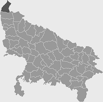
Uttar Pradesh map, black and white map, blank map of Uttar Pradesh, travel map India, geographical outline, state boundaries, regional division -
500x500px

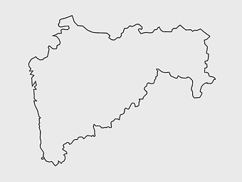
Maharashtra blank map, black and white silhouette, travel world map, stock map image, geographic outline, state boundary illustration, cartographic design -
2937x2645px

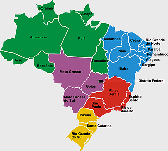
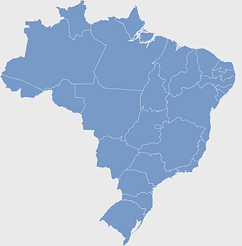
Brazil regions map, South Region Brazil geography, Southeast Region Brazil political division, North Region Brazil ecoregion, Brazilian state boundaries, map of Brazilian territories, Brazilian regional subdivisions -
980x618px

black silhouette USA map, blank United States map, monochrome map of USA, travel world map USA, geographic outline of America, continental United States shape, minimalist USA cartography -
1200x1584px

Colombia departments map, Putumayo Department outline, Boyacá Department geography, blank map of Colombia, Colombian regional boundaries, South American departmental divisions, cultural regions of Colombia -
850x550px

blue world map, early cartography atlas, political map collection, world map line art, global geography illustration, international map design, earth continent layout -
1001x555px

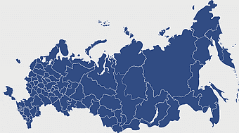
Russia political map, карта россии, world map cartography, mapa polityczna Russia, Russian federation regions, geopolitical boundaries, Eurasian territories -
2400x1800px

Tamil Nadu map outline, black and white India map, monochrome line art map, travel diagram India, geographic boundary illustration, state region outline, cartographic sketch Tamil Nadu -
595x689px

India blank map, political map of India, outline of India, white line map, geographical visualization, country borders, subcontinent layout -
940x515px

world map, contour line, map projection, atlas, geographic visualization, cartographic design, global geography, earth representation -
1200x1200px

India monochrome map, Indian silhouette map, blank India map, black and white India map, India geographic outline, India country shape, India border illustration -
2000x2825px

Government of Gujarat logo, mammal design, monochrome emblem, public sector symbol, Indian governmental iconography, satyamev jayate symbol, state administration visuals -
544x488px

Ukraine map silhouette, black and white Ukraine map, Ukrainian fauna map, travel Ukraine map, geographic outline of Ukraine, Ukrainian landscape illustration, Eastern European cartography -
1060x660px

Europe blank map, monochrome world map, black and white geography, cartography europe, political map analysis, continental borders visualization, geographic layout study -
960x1132px

India map silhouette, Indian geographic region, high-resolution India outline, India political divisions, India landmass representation, silhouette illustration of India, Indian subcontinent visual map -
3638x4000px

India states and territories map, blank India map, India political map, India regions map, Indian subcontinent map, India administrative divisions, India geography map -
512x512px

Uttar Pradesh map, silhouette, travel World, green design, Indian state outline, geographical boundary, map graphic -
892x906px

Brazil regions map, blank Brazil map, political map of Brazil, ecoregions of Brazil, South American geography, Brazilian states outline, map of Brazilian territories -
2000x1367px

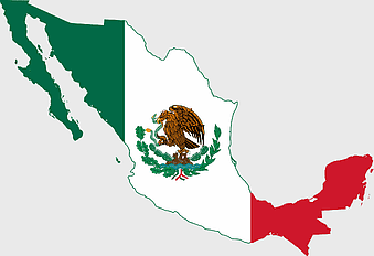
Flag of Mexico Map, Mexican flag overlay, travel Mexico, world map with flag, Mexican cartography, national emblem map, geographic flag design -
1280x1280px

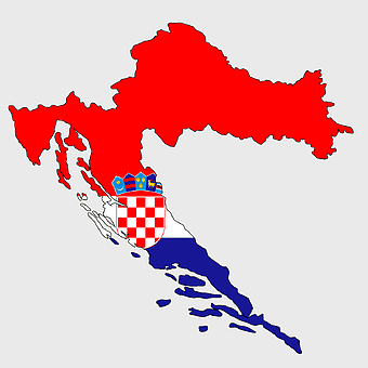
counties of Croatia map, Croatian border flag, Dalmatia region, Slavonia area, Croatian historical regions, European country divisions, Croatian administrative boundaries -
2957x3172px

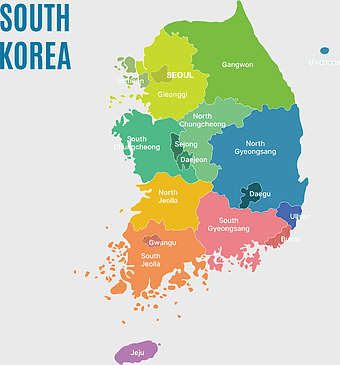
South Korea map, Seoul location, Gangwon province, Jeju island, Korean geography, regional divisions, administrative boundaries, png -
943x1091px

blank India map, states and territories of India outline, monochrome Indian political map, central India geography, Indian borderlines illustration, subcontinental regions layout, location markers on India无声無息无声无息无声无息China -
512x512px

Maharashtra Blank map, orange silhouette map, road map topo, city map India, geospatial visualization, state boundary outlines, cartographic graphic design -
734x815px

India silhouette map, black and white India map, monochrome India outline, India map, geographical representation of India, country shape illustration, Indian subcontinent outline -
768x768px

Chhattisgarh silhouette map, Government of Chhattisgarh line art, Chhattisgarh state outline, Chhattisgarh map illustration, Chhattisgarh geographic shape, Indian state map art, Chhattisgarh region drawing -
660x732px

Bihar Government Logo, Katihar District Administration, Mahadalit Vikas Mission Bihar, Public Sector Bihar, Indian State Government Symbol, Official Government Emblem, Tree of Life Iconography -
555x802px

Peru flag map, flag of Peru, Peru map outline, red and white flag, South American country flags, national symbol illustration, geographic boundary design -
498x560px

Latin America map, South America political map, black and white Americas map, world map with Latin America, geographic layout of South America, political boundaries of Latin America, monochrome continent map -
768x768px

Haryana blank map, Haryana silhouette, states of India map, black and white Haryana map, India geography outline, Haryana region illustration, Indian state borders graphic -
872x1600px

flag of Thailand map, Thai national flag artwork, Thailand topo map collection, red and blue flag distribution, Southeast Asia cartography, country boundary illustration, geographic emblem design -
1024x968px

Maharashtra Government Logo, Mumbai Government emblem, India public sector symbol, Maharashtra official crest, Indian state administration, regional governance icon, government authority mark -
641x598px

Bahia Brazil map, green Bahia map, Northeast Region Brazil map, Bahia travel map, Brazil geographic outline, green map silhouette, Bahia region cartography -
1280x625px

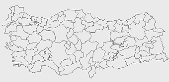
Tokat Province map, Provinces of Turkey black and white, Istanbul region outline, Amasya location on map, Turkish geography illustration, blank Turkey provinces chart, Black Sea region cartography -
850x504px

Kazakhstan Mercator Projection Map, Kazakhstan Topographic Map, Blank Kazakhstan Map, Kazakhstan Physical Map, Central Asia Geographic Layout, Eurasian Country Borders, Kazakhstan Regional Divisions -
1500x1500px

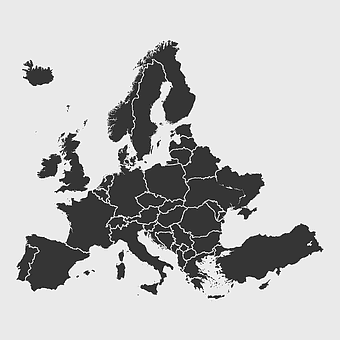
Europe Map, black and white map, silhouette map, travel world, European countries, geographic outline, continent illustration -
1280x801px

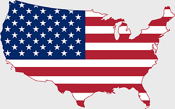
Flag of the United States Map, national Flag of USA, travel World with US flag, geography of the United States, American patriotic symbols, USA map design, stars and stripes layout -
640x521px

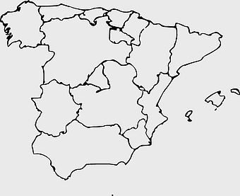
Spain blank map, autonomous communities outline, black and white geography map, spain political regions, spain educational map, spain regional divisions, spain line art map -
839x831px

Government of Telangana logo, Telangana State Public Service Commission emblem, Telangana official seal, KCR administration symbol, Indian state governance icon, regional government insignia, administrative authority badge -
1656x2282px

Bangladesh blank map, green map outline, mercator projection map, travel world map, geographic region, country borders, cartographic design -
510x540px

India Globe Map, India world map, orange India map, blank India map, geographical representation, cartographic design, subcontinent outline -
993x646px

Russia map silhouette, blank Russia map, Russian geography outline, black and white Russia outline, Eurasian region borders, political map of Europe and Asia, Slavic states boundaries -
2000x2000px

black Brazil map illustration, Flag of Brazil blank map, black and white cartography, topo map of Brazil, geographic outline of Brazil, line art map design, early world map style -
406x669px

Flag of the Philippines, Visayas map contour, Luzon region outline, Philippines geographic art, Philippine island cartography, national symbols representation, Southeast Asian cartology -
694x709px

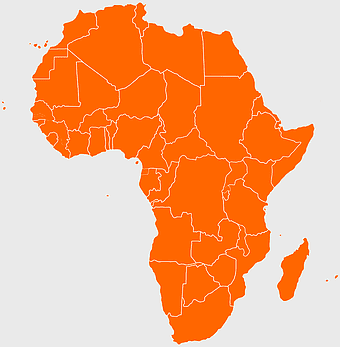
Africa map, orange Africa map, world map, Africa continent map, geographical representation, continental layout, visual geography of Africa -
1644x2400px

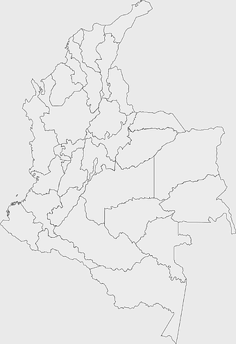
Colombia map, monochrome map, black and white map, travel world map, South America geography, political boundaries, regional divisions -
600x600px

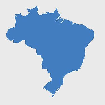
Brazil blank map, blank Brazil map, blue world map, stock Brazil diagram, geographical layout, country outline, South America borders -
5136x3072px

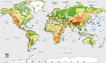
Antarctica map HD, Map of the world exquisite, world Cup travel, plate world map, global geographical visualization, high-resolution world atlas, seven continents cartography -
576x602px

Africa blank map, black and white continent outline, monochrome line art geography, stock Africa, geographical sketch, minimalist cartography, white background continents -
1600x781px

turkish kurdistan map, provinces of turkey map, eastern anatolia region map, blank turkey map, geographic boundaries of turkey, turkey provinces, turkey area visualization -
758x858px

Punjabi language map, Punjab region, red map outline, India travel map, Punjabi culture, geographical map of Punjab, Punjab state borders -
830x550px

Asia Mercator Projection map, blue Asia world map, Asia continent map, travel Asia map, global Asia cartography, geographic Asia visualization, Asia map design elements -
1208x1208px

European Union Map, info map Europe, European continent outline, европа карта, Geo-political boundaries visualization, Cartographic European regions, International borders depiction -
671x692px

India 3D map, turquoise India map, 3D computer graphics map, India world map, digital India cartography, 3D geographic visualization, aqua cartographic design -
1024x585px

Indonesia map with flag, Indonesian national symbols, red and white map illustration, Flag of Indonesia overlay, Southeast Asia cartography, Indonesian geography visuals, patriotic map design -
1920x2795px

Peru flag map, red and white flag silhouette, national flag of Peru, travel world map, South American country flags, geographic outline of Peru, flag-themed cartography -
2455x1318px

world map mercator projection, flat earth society globe, black and white cartography, early world maps design, global geography illustration, continental layout visualization, historical cartographic art -
359x768px

Argentina blank map, Argentine Northwest geography, black and white outline, coloring book map, South American cartography, silhouette map, travel atlas design -
2339x1377px

Russia Map silhouette, black and white Russia map, blank Russia map, monochrome world map, Russian geography outline, Eurasian landmass shape, northern hemisphere cartography -
728x1205px

Pereyaslav-Khmelnytsky district administration, Raiffeisen Bank Aval Attention, hand gesture information, figurine alert icon, caution symbol visual, educational warning, administrative notice illustration -
471x721px

Euclidean text box, multicolored conversation margin, colored lines design, text effect elements, graphic design templates, speech bubble outlines, presentation visuals, creative layout tools -
640x586px

Europe blank map, European political map, black and white globe, world map pattern, geographic layout, cartographic design, continental outline -
637x738px

Latin America Map, South America map, Caribbean political map, Maxxess Systems Inc coverage areas, Americas regional map content, examined world cartography, distinctive map visualizations
