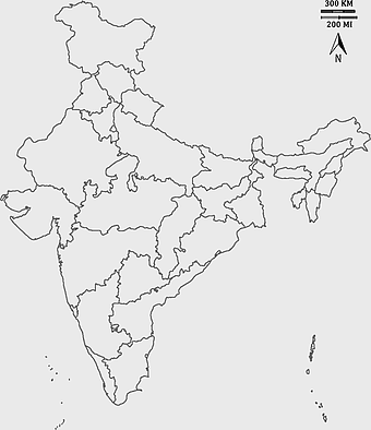
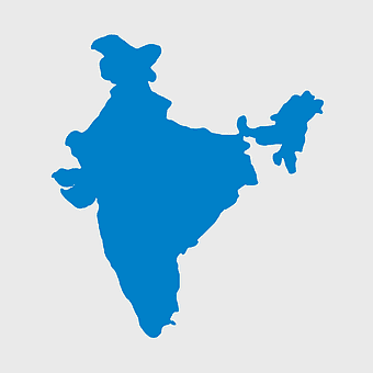
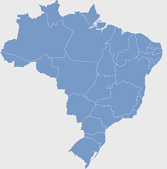
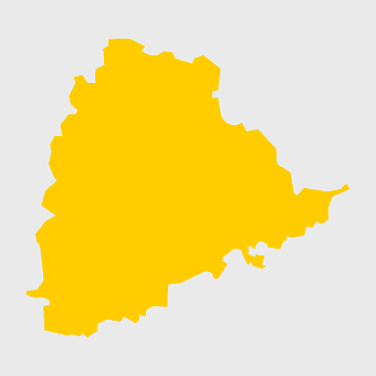
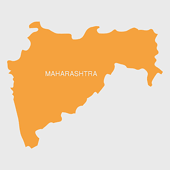
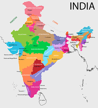
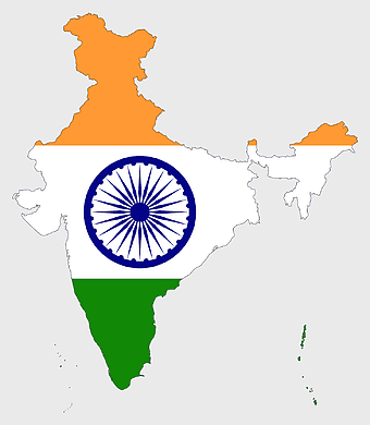
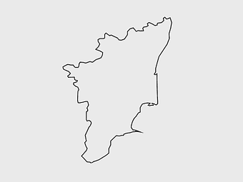
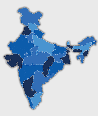
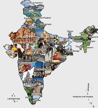
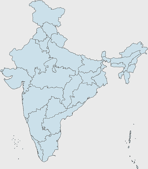
Telangana state map, India blank map, states and territories of India, road map of India, political map of India, geographical map illustration, cartographic representation of India, PNG
keywords
- Telangana state map
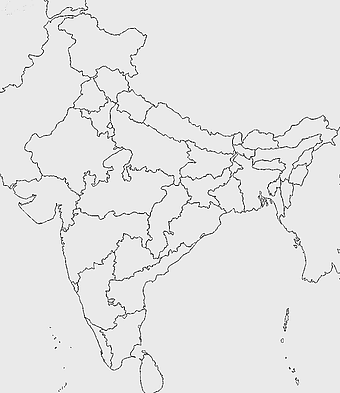
- India blank map
- states and territories of India
- road map of India
- political map of India
- geographical map illustration
- cartographic representation of India
License: Personal use only
More related PNGs
-
3604x4798px

geographic outline, state border, cartographic design, landmass representation, regional map, coastal depiction, geographical frame -
1000x365px

Indonesia blank map, black silhouette map, monochrome world map, outline map of Indonesia, geographical outline, travel map design, cartographic illustration -
510x540px

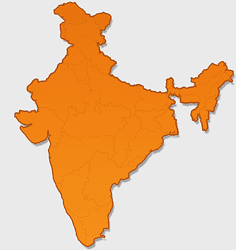
India Globe Map, India world map, orange India map, blank India map, geographical representation, cartographic design, subcontinent outline -
940x515px

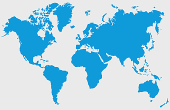
world map, contour line, map projection, atlas, geographic visualization, cartographic design, global geography, earth representation -
700x838px

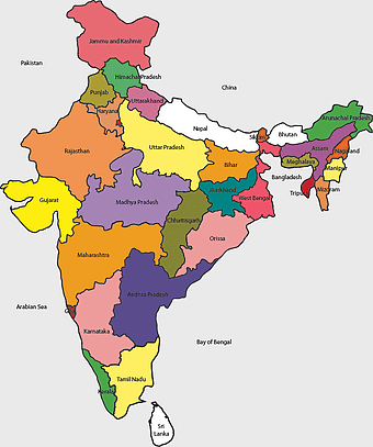
India Map illustration, India political map, blank India map, India state boundaries, Indian subcontinent geography, South Asia cartography, detailed India region map -
7506x8000px

India blank map, orange India silhouette, India world map design, stock India map, Indian geography outline, map of South Asia, India political borders -
1200x1200px

India monochrome map, Indian silhouette map, blank India map, black and white India map, India geographic outline, India country shape, India border illustration -
1280x580px

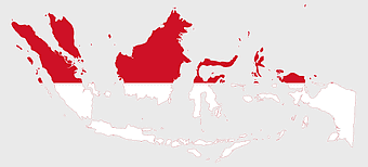
red and white map illustration, Flag of Indonesia Brunei Map, greater Indonesia map, blank map with flag design, Southeast Asia political map, cartographic design elements, regional geography illustration -
595x689px

India blank map, political map of India, outline of India, white line map, geographical visualization, country borders, subcontinent layout -
900x900px

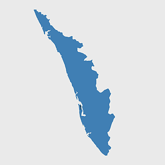
Kerala Map, India silhouette, blank Kerala map, travel Kerala, South India state, geographical outline, blue region map -
700x700px

India silhouette map, India map drawing, India world map, India map design, Indian subcontinent outline, South Asia map illustration, India geographic shape -
892x906px

Brazil regions map, blank Brazil map, political map of Brazil, ecoregions of Brazil, South American geography, Brazilian states outline, map of Brazilian territories -
500x500px

Maharashtra blank map, black and white silhouette, travel world map, stock map image, geographic outline, state boundary illustration, cartographic design -
900x900px

Nizamabad District Map, Telangana State Outline, India Political Map, Yellow Region Highlight, Geographical Borders, Administrative Division, Regional Cartography -
512x512px

Maharashtra Blank map, orange silhouette map, road map topo, city map India, geospatial visualization, state boundary outlines, cartographic graphic design -
1480x793px

map location icon, medicines authority logo, travel world map, map pointer, geographic navigation, location marker design, cartographic symbol -
943x1091px

blank India map, states and territories of India outline, monochrome Indian political map, central India geography, Indian borderlines illustration, subcontinental regions layout, location markers on India无声無息无声无息无声无息China -
734x815px

India silhouette map, black and white India map, monochrome India outline, India map, geographical representation of India, country shape illustration, Indian subcontinent outline -
2000x5697px

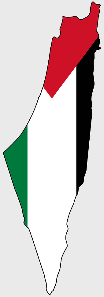
Palestine Flag Map, State of Palestine Map, Mandatory Palestine Flag, Palestine Flag Artwork, Middle East Political Map, Arab Flag Design, Historical Palestine Territory -
3638x4000px

India states and territories map, blank India map, India political map, India regions map, Indian subcontinent map, India administrative divisions, India geography map -
1600x1000px

India silhouette map, black and white India map, India political map, India map collection, geographical outline of India, country borders of India, South Asia map illustration -
1024x1024px

Rajasthan map, blue map outline, travel world map, blank map template, geographical region, state boundary, cartographic design -
900x900px

Karnataka Legislative Assembly election map, India political map, yellow Karnataka outline, Karnataka election results map, Indian state boundaries, regional election visualization, political geography of Karnataka -
640x586px

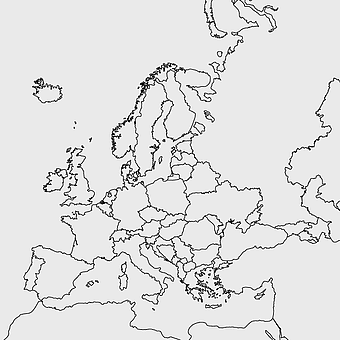
Europe blank map, European political map, black and white globe, world map pattern, geographic layout, cartographic design, continental outline -
1115x1280px

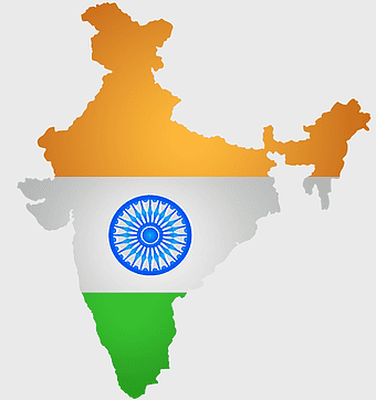
India flag map, Indian national symbol, tricolor India map, blank India map, political map of India, Ashoka Chakra design, Indian geography outline -
671x692px

India 3D map, turquoise India map, 3D computer graphics map, India world map, digital India cartography, 3D geographic visualization, aqua cartographic design -
900x900px

India blank map, monochrome India silhouette, India map line art, black and white India map, India geographic outline, India country shape, India political borders -
980x618px

black silhouette USA map, blank United States map, monochrome map of USA, travel world map USA, geographic outline of America, continental United States shape, minimalist USA cartography -
2400x1800px

Tamil Nadu map outline, black and white India map, monochrome line art map, travel diagram India, geographic boundary illustration, state region outline, cartographic sketch Tamil Nadu -
1280x1584px

Flag of Germany, Allied-occupied Germany Map, blank Map, red yellow black, German territorial divisions, historical Germany map, post-war Germany borders -
800x800px

India blank map, turquoise India map, blue India map, India political map, India geographic outline, India cartography, India map illustration -
800x583px

Mexico United States border map, blank political map, black and white world map, monochrome country diagram, international geography layout, cartographic line art, travel destination atlas -
1502x1658px

Africa silhouette map, black and white Africa map, monochrome Africa graphic, blank Africa map, African continent outline, geographical Africa shape, Africa continent -
675x421px

Maharashtra map, Maharashtra state outline, Maharashtra geography, Maharashtra region, India state maps, map of Indian states, Maharashtra borders, png -
1428x732px

world map mercator projection, monochrome political map, south-up world map, blank map for coloring, global geography illustration, international borders outline, cartographic design elements -
1411x550px

Indonesia Map, blue map, travel World, aqua design, Southeast Asia geography, archipelago visualization, cartographic representation -
1060x660px

Europe blank map, monochrome world map, black and white geography, cartography europe, political map analysis, continental borders visualization, geographic layout study -
1920x2400px

Bangladesh silhouette map, black and white Bangladesh map, blank Bangladesh map, monochrome Bangladesh map, Bangladesh geographic outline, Bangladesh country shape, Bangladesh political borders -
846x914px

Delhi Legislative Assembly election 2015 map, Delhi Legislative Assembly election 2013 map, blank Delhi map, India political map, Delhi electoral districts, Indian state elections, political geography of Delhi -
1656x2282px

Bangladesh blank map, green map outline, mercator projection map, travel world map, geographic region, country borders, cartographic design -
960x1132px

India map silhouette, Indian geographic region, high-resolution India outline, India political divisions, India landmass representation, silhouette illustration of India, Indian subcontinent visual map -
1200x641px

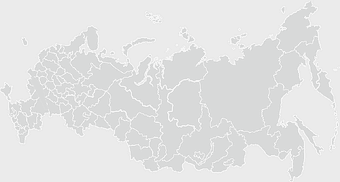
Russia blank map, black and white Russia map, monochrome Russia map, white Russia map, Russian geography, political map of Russia, Russia outline map -
1675x2000px

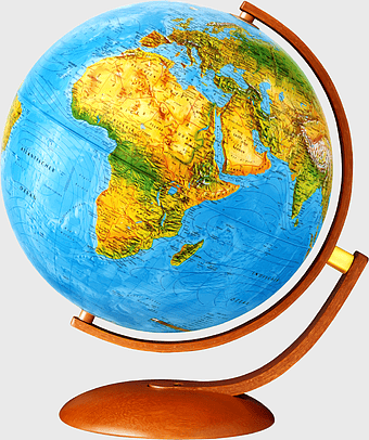
globe, sphere, world map, digital planet, educational tool, geographical representation, earth model -
850x550px

blue world map, early cartography atlas, political map collection, world map line art, global geography illustration, international map design, earth continent layout -
1425x1199px

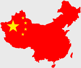
China flag map, Flag of China blank map, red China map, Chinese flag stars, China political map, China geography illustration, China national symbol design -
742x866px

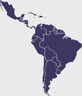
South America map, Latin America political map, blank Americas map, latino integration, South American geography, political boundaries Americas, continental map analysis -
1266x1113px

gray and white map illustration, location map icon, map with pin, travel world map, navigation guide, geographic locator, destination finder -
768x768px

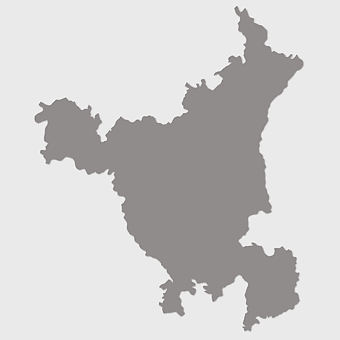
Haryana blank map, Haryana silhouette, states of India map, black and white Haryana map, India geography outline, Haryana region illustration, Indian state borders graphic -
576x644px

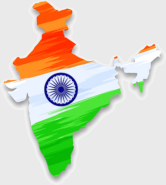
Indian flag map, Independence Day illustration, tricolor India design, Falun India icon, patriotic map graphic, national symbol art, independence celebration -
736x507px

Russia orange map, Russian city map, blank Russia map, scale map of Russia, Russian geography, political map of Russia, Russian urban areas -
1601x1920px

India map outline, India geographic shape, India country borders, India silhouette, map design, geographical illustration, country outline graphic, png -
1000x1109px

Morocco blank map, Flag of Morocco, French protectorate in Morocco, Ifni Morocco, Moroccan political map, North African cartography, Historical Moroccan territories -
1280x1108px

Belarus map, European nation borders, Belarusian flag design, cartographic representation, geographic outline, political geography, illustration, png -
600x600px

Europe blank map, white globe world map, Europe classical borders, white political map, European geographic outline, continental map art, blank map designs -
800x800px

orange globe, world map sphere, earth icon, political map, global geography, planet illustration, cartographic design -
700x700px

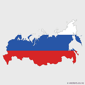
European Russia map, Russian flag colors, political map of Russia, blue and red map, geographic layout of Russia, Russian territorial divisions, Eurasian landmass representation -
1001x555px

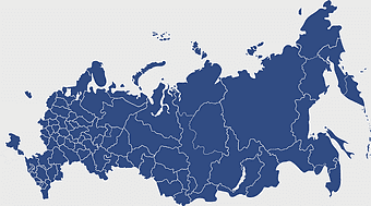
Russia political map, карта россии, world map cartography, mapa polityczna Russia, Russian federation regions, geopolitical boundaries, Eurasian territories -
512x512px

map icon, leaf symbols, turn-by-turn navigation, city map design, geographic location, cartographic visual elements, digital map representation -
606x600px

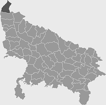
Uttar Pradesh map, black and white map, blank map of Uttar Pradesh, travel map India, geographical outline, state boundaries, regional division -
853x1280px

Marker icon, map navigation, location pin, interesting destinations, geographic pointer, travel landmarks, cartographic symbol, png -
2400x1392px

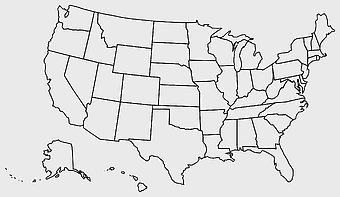
United States blank map, U.S. state outline, black and white map, geography line art, political map of America, educational map design, USA state borders illustration -
740x444px

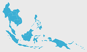
Southeast Asia map, blue ocean map, travel Southeast Asia, top ten countries, geographical region, cartographic representation, regional atlas -
1000x1000px

Earth Globe, world map, environmental protection, flat Earth, global sustainability, planet illustration, cartographic design -
498x560px

Latin America map, South America political map, black and white Americas map, world map with Latin America, geographic layout of South America, political boundaries of Latin America, monochrome continent map -
2937x2645px

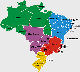
Brazil regions map, South Region Brazil geography, Southeast Region Brazil political division, North Region Brazil ecoregion, Brazilian state boundaries, map of Brazilian territories, Brazilian regional subdivisions -
684x980px

map location icon, black and white location symbol, travel world map art, google maps logo, navigation pin graphic, destination marker design, geographic pointer illustration -
600x600px

Brazil blank map, blank Brazil map, blue world map, stock Brazil diagram, geographical layout, country outline, South America borders -
1400x960px

state border of Ukraine, Ukrainian Soviet Socialist Republic map, Carpatho-Ukraine territory, blank map of Ukraine, historical Ukrainian borders, geopolitical map analysis, Eastern European cartography -
1240x1240px

road illustration, landmarks road, road map, road sign, navigation route, travel directions, location marker -
1300x1300px

Venezuela Petro Map Flag, Venezuelan Flag Map, cryptocurrency Venezuela map, travel Venezuela map, South America country flag, national symbol Venezuela, Venezuela geographic representation -
694x709px

Africa map, orange Africa map, world map, Africa continent map, geographical representation, continental layout, visual geography of Africa -
851x936px

Mizoram cultural heritage tourism, Incredible India advertising, India map illustration, heritage tourism in India, Indian state landmarks, travel map of India, cultural diversity in India -
2000x2729px

Bangladesh blank map, districts of Bangladesh, division of Bangladesh, black and white map, geographical outline, administrative regions, country borders -
3001x1099px

grey Indonesia map, blank globe illustration, monochrome country map, flat design travel map, Southeast Asia geography, archipelago outline, island nation cartography -
597x656px

South America map, Latin America political map, blank Americas map, travel world map, international borders, geographic regions, continental overview
