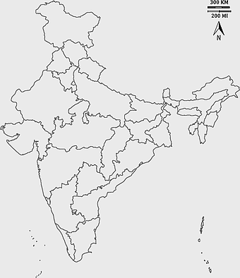
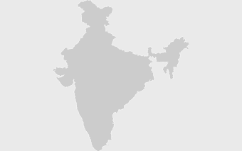
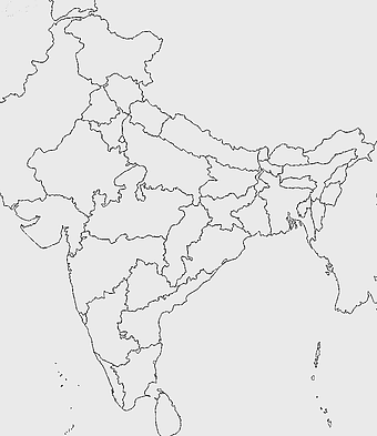
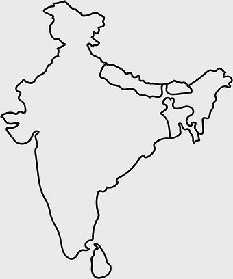
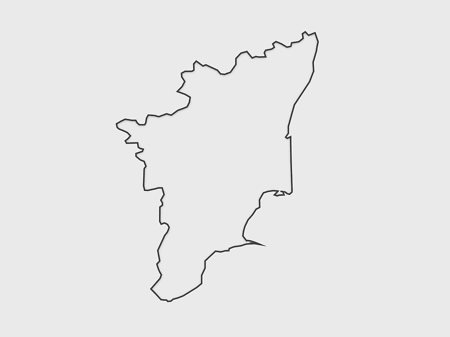
Tamil Nadu map outline, black and white India map, monochrome line art map, travel diagram India, geographic boundary illustration, state region outline, cartographic sketch Tamil Nadu, PNG
keywords
- Tamil Nadu map outline
- black and white India map
- monochrome line art map
- travel diagram India
- geographic boundary illustration
- state region outline
- cartographic sketch Tamil Nadu
License: Personal use only
More related PNGs
-
3604x4798px

geographic outline, state border, cartographic design, landmass representation, regional map, coastal depiction, geographical frame -
1000x365px

Indonesia blank map, black silhouette map, monochrome world map, outline map of Indonesia, geographical outline, travel map design, cartographic illustration -
900x900px

Kerala Map, India silhouette, blank Kerala map, travel Kerala, South India state, geographical outline, blue region map -
500x500px

Maharashtra blank map, black and white silhouette, travel world map, stock map image, geographic outline, state boundary illustration, cartographic design -
2000x2171px

Tamil Nadu Government Seal, Tamil Nadu Legislative Assembly emblem, State Emblem of India, gopuram temple illustration, Indian state symbols, Tamil Nadu official logo, South Indian government insignia -
1024x1024px

Rajasthan map, blue map outline, travel world map, blank map template, geographical region, state boundary, cartographic design -
1200x1200px

India monochrome map, Indian silhouette map, blank India map, black and white India map, India geographic outline, India country shape, India border illustration -
700x700px

India silhouette map, India map drawing, India world map, India map design, Indian subcontinent outline, South Asia map illustration, India geographic shape -
2400x1800px

Maharashtra Map illustration, UK geography, monochrome area diagrams, line art states, geographic boundary outlines, regional cartography design, geopolitical zone mapping -
700x838px

India Map illustration, India political map, blank India map, India state boundaries, Indian subcontinent geography, South Asia cartography, detailed India region map -
510x540px

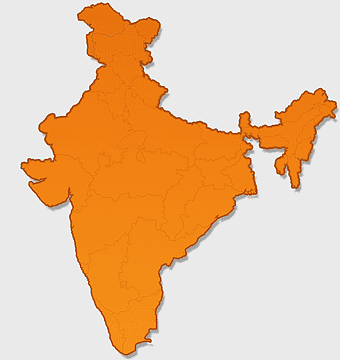
India Globe Map, India world map, orange India map, blank India map, geographical representation, cartographic design, subcontinent outline -
900x900px

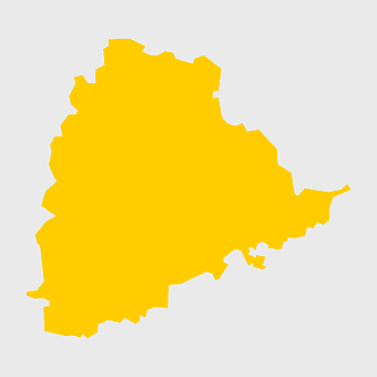
Nizamabad District Map, Telangana State Outline, India Political Map, Yellow Region Highlight, Geographical Borders, Administrative Division, Regional Cartography -
900x900px

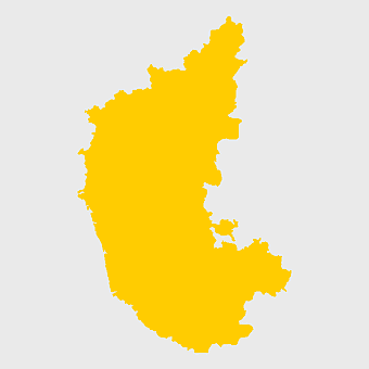
Karnataka Legislative Assembly election map, India political map, yellow Karnataka outline, Karnataka election results map, Indian state boundaries, regional election visualization, political geography of Karnataka -
675x421px

Maharashtra map, Maharashtra state outline, Maharashtra geography, Maharashtra region, India state maps, map of Indian states, Maharashtra borders, png -
734x815px

India silhouette map, black and white India map, monochrome India outline, India map, geographical representation of India, country shape illustration, Indian subcontinent outline -
606x600px

Uttar Pradesh map, black and white map, blank map of Uttar Pradesh, travel map India, geographical outline, state boundaries, regional division -
595x689px

India blank map, political map of India, outline of India, white line map, geographical visualization, country borders, subcontinent layout -
518x590px

Telangana state map, India blank map, states and territories of India, road map of India, political map of India, geographical map illustration, cartographic representation of India -
1500x1500px

Europe Map, black and white map, silhouette map, travel world, European countries, geographic outline, continent illustration -
1280x580px

red and white map illustration, Flag of Indonesia Brunei Map, greater Indonesia map, blank map with flag design, Southeast Asia political map, cartographic design elements, regional geography illustration -
512x512px

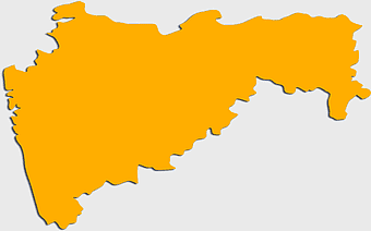
Maharashtra Blank map, orange silhouette map, road map topo, city map India, geospatial visualization, state boundary outlines, cartographic graphic design -
900x900px

Tamil Nadu Legislative Assembly election 2016 results, AIADMK political party, Tamil Nadu state assembly elections, yellow electoral map, Indian state election outcomes, political geography of Tamil Nadu, regional election analysis -
980x618px

black silhouette USA map, blank United States map, monochrome map of USA, travel world map USA, geographic outline of America, continental United States shape, minimalist USA cartography -
1266x1113px

gray and white map illustration, location map icon, map with pin, travel world map, navigation guide, geographic locator, destination finder -
1656x2282px

Bangladesh blank map, green map outline, mercator projection map, travel world map, geographic region, country borders, cartographic design -
1502x1658px

Africa silhouette map, black and white Africa map, monochrome Africa graphic, blank Africa map, African continent outline, geographical Africa shape, Africa continent -
684x980px

map location icon, black and white location symbol, travel world map art, google maps logo, navigation pin graphic, destination marker design, geographic pointer illustration -
1600x1000px

India silhouette map, black and white India map, India political map, India map collection, geographical outline of India, country borders of India, South Asia map illustration -
1024x377px

Flag of Indonesia Map, black and white map, Indonesia line art, monochrome travel map, Southeast Asia geography, archipelago illustration, political boundaries -
544x488px

Ukraine map silhouette, black and white Ukraine map, Ukrainian fauna map, travel Ukraine map, geographic outline of Ukraine, Ukrainian landscape illustration, Eastern European cartography -
800x583px

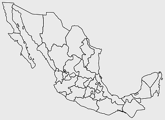
Mexico United States border map, blank political map, black and white world map, monochrome country diagram, international geography layout, cartographic line art, travel destination atlas -
704x980px

geolocation symbol, black and white location icon, map location marker, travel world icon, navigation pin, digital mapping tool, geographic positioning system -
4351x3416px

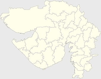
Gujarat state map, Gujarat geographical layout, Gujarat district boundaries, Gujarat region outline, Indian state cartography, regional mapping, administrative divisions visualization, png -
624x630px

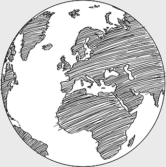
Earth Globe Sketch, black and white globe drawing, monochrome world map illustration, line art earth diagram, global geography sketch, planet earth outline, terrestrial globe artwork -
768x768px

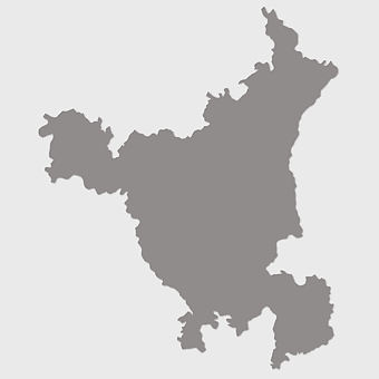
Haryana blank map, Haryana silhouette, states of India map, black and white Haryana map, India geography outline, Haryana region illustration, Indian state borders graphic -
500x500px

human heart diagram, monochrome anatomy drawing, black and white heart illustration, human organ sketch, cardiovascular system diagram, medical illustration heart, heart structure outline -
900x900px

India blank map, monochrome India silhouette, India map line art, black and white India map, India geographic outline, India country shape, India political borders -
2000x2729px

Bangladesh blank map, districts of Bangladesh, division of Bangladesh, black and white map, geographical outline, administrative regions, country borders -
576x602px

Africa blank map, black and white continent outline, monochrome line art geography, stock Africa, geographical sketch, minimalist cartography, white background continents -
758x858px

Punjabi language map, Punjab region, red map outline, India travel map, Punjabi culture, geographical map of Punjab, Punjab state borders -
740x444px

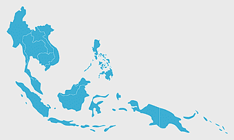
Southeast Asia map, blue ocean map, travel Southeast Asia, top ten countries, geographical region, cartographic representation, regional atlas -
2400x2391px

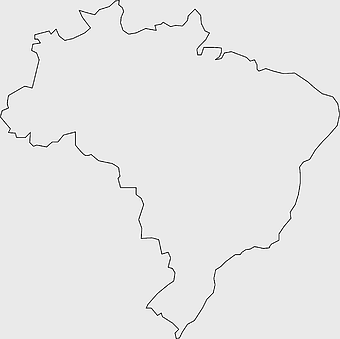
Flag of Brazil Map, black and white Brazil map, line art Brazil outline, monochrome Brazil icon, Brazil geographic outline, Brazil travel map, Brazil country shape -
3001x1099px

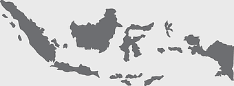
grey Indonesia map, blank globe illustration, monochrome country map, flat design travel map, Southeast Asia geography, archipelago outline, island nation cartography -
943x1091px

blank India map, states and territories of India outline, monochrome Indian political map, central India geography, Indian borderlines illustration, subcontinental regions layout, location markers on India无声無息无声无息无声无息China -
1463x1238px

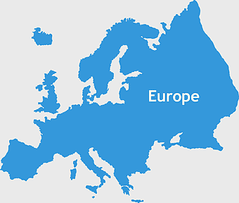
Europe Map, blue silhouette map, travel world map, European geography, continent outline, cartographic design, regional borders -
1024x1024px

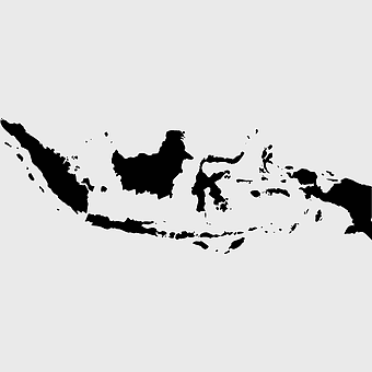
Flag of Indonesia Map, black silhouette map, komodo travel, monochrome Indonesia map, Southeast Asia geography, archipelago nation, island nation outline -
1601x1920px

India map outline, India geographic shape, India country borders, India silhouette, map design, geographical illustration, country outline graphic, png -
555x802px

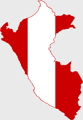
Peru flag map, flag of Peru, Peru map outline, red and white flag, South American country flags, national symbol illustration, geographic boundary design -
1600x1600px

black circle frame, thin black circle, monochrome circle art, white circle outline, simple geometric shapes, minimalist line art, educational diagram elements -
512x512px

location logo, google Maps, map symbol, black and white icon, navigation marker, travel destination, geographic pointer -
512x512px

Uttar Pradesh map, silhouette, travel World, green design, Indian state outline, geographical boundary, map graphic -
1024x1024px

Japan map silhouette, black and white Japan map, Japan prefectures outline, monochrome Japan map, Japanese geography illustration, Asia travel icon, country shape graphic -
498x560px

Latin America map, South America political map, black and white Americas map, world map with Latin America, geographic layout of South America, political boundaries of Latin America, monochrome continent map -
637x637px

Florida silhouette map, black and white Florida map, Caloosa Cove Marina location, travel world map, Florida state outline, geographic map design, monochrome map art -
640x586px

Europe blank map, European political map, black and white globe, world map pattern, geographic layout, cartographic design, continental outline -
2953x1911px

world map silhouette, monochrome world map, black and white globe, raster world map, global atlas design, earth map illustration, political map outline -
600x600px

monochrome Italy map, black and white regions of Italy, silhouette map for travel, blank map of Italy, geographic outline of Italy, italy cartography visuals, italy administrative divisions illustration -
993x646px

Russia map silhouette, blank Russia map, Russian geography outline, black and white Russia outline, Eurasian region borders, political map of Europe and Asia, Slavic states boundaries -
882x1280px

South America map coloring page, Latin America blank map, monochrome world map, black and white continent outline, educational geography illustration, printable line art map, travel world map design -
568x640px

location icon, monochrome map symbol, black and white desktop logo, computer sphere angle, navigation pointer, digital mapping tool, geographic location marker -
1644x2400px

Colombia map, monochrome map, black and white map, travel world map, South America geography, political boundaries, regional divisions -
1920x2400px

Bangladesh silhouette map, black and white Bangladesh map, blank Bangladesh map, monochrome Bangladesh map, Bangladesh geographic outline, Bangladesh country shape, Bangladesh political borders -
769x768px

black and white crack effect, monochrome symmetry pattern, cracked glass diagram, white triangle structure, abstract line art, minimalist geometric design, visual rupture illustration -
2341x1894px

human hand illustration, monochrome hand drawing, black and white hand art, line art hands, gesture sketch, palm outline, finger positioning -
768x768px

Chhattisgarh silhouette map, Government of Chhattisgarh line art, Chhattisgarh state outline, Chhattisgarh map illustration, Chhattisgarh geographic shape, Indian state map art, Chhattisgarh region drawing -
1890x1418px

black and white monochrome art, black ink scratches, white background texture, black and white symmetry, abstract grunge design, minimalist line drawing, monochrome architectural sketch -
1208x1208px

European Union Map, info map Europe, European continent outline, европа карта, Geo-political boundaries visualization, Cartographic European regions, International borders depiction -
1000x990px

circle point, black and white circle, monochrome line art, educational science diagram, geometric shape illustration, minimalist design element, circular boundary outline -
1154x1321px

human brain outline, black and white brain drawing, line art brain, monochrome brain illustration, cerebral cortex depiction, neural structure diagram, brain anatomy sketch -
500x500px

flower line art drawing, black and white floral sketch, contemporary monochrome artwork, minimalist plant illustration, botanical line design, nature-inspired art, simple flower outline -
2000x2000px

black Brazil map illustration, Flag of Brazil blank map, black and white cartography, topo map of Brazil, geographic outline of Brazil, line art map design, early world map style -
500x500px

globe monochrome silhouette, equirectangular projection map, world map metal powder, black and white earth, global geography illustration, cartographic design, monochromatic planet image -
1200x641px

Russia blank map, black and white Russia map, monochrome Russia map, white Russia map, Russian geography, political map of Russia, Russia outline map -
960x1132px

India map silhouette, Indian geographic region, high-resolution India outline, India political divisions, India landmass representation, silhouette illustration of India, Indian subcontinent visual map -
1000x1000px

Mexicou2013United States border Drawing, vintage frame, monochrome art, black and white border, geometric pattern design, traditional textile motif, ornamental line art
