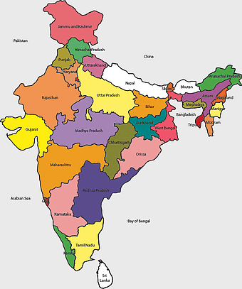
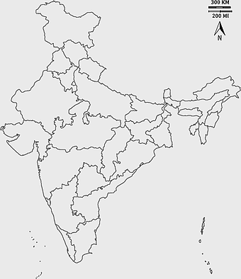
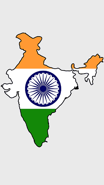
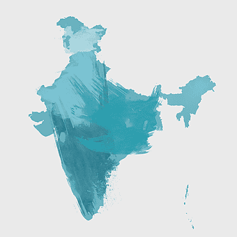
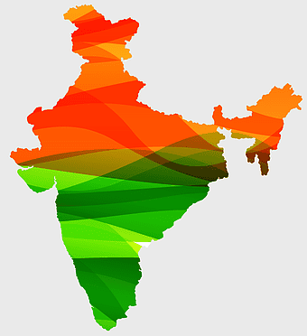
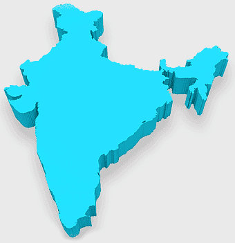
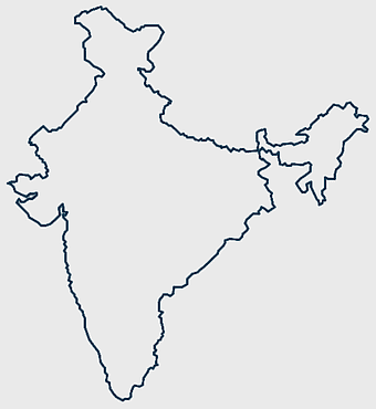
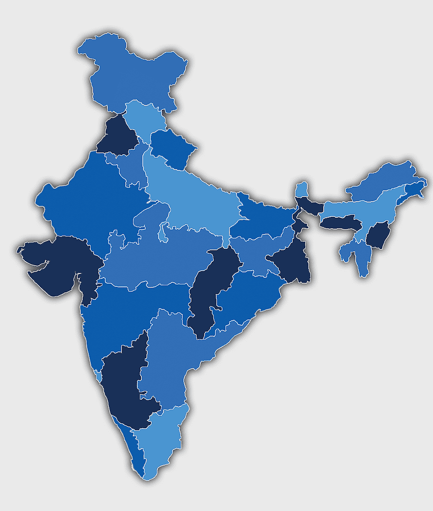
India map silhouette, Indian geographic region, high-resolution India outline, India political divisions, India landmass representation, silhouette illustration of India, Indian subcontinent visual map, PNG
keywords
- India map silhouette
- Indian geographic region
- high-resolution India outline
- India political divisions
- India landmass representation
- silhouette illustration of India
- Indian subcontinent visual map
License: Personal use only
More related PNGs
-
700x700px

India silhouette map, India map drawing, India world map, India map design, Indian subcontinent outline, South Asia map illustration, India geographic shape -
3604x4798px

geographic outline, state border, cartographic design, landmass representation, regional map, coastal depiction, geographical frame -
734x815px

India silhouette map, black and white India map, monochrome India outline, India map, geographical representation of India, country shape illustration, Indian subcontinent outline -
700x838px

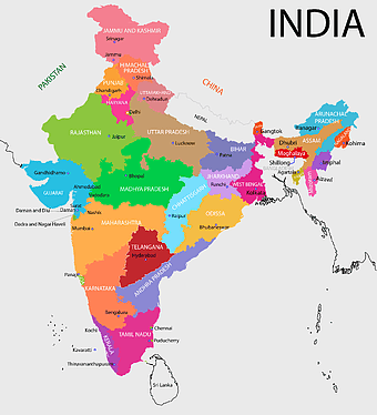
India Map illustration, India political map, blank India map, India state boundaries, Indian subcontinent geography, South Asia cartography, detailed India region map -
595x689px

India blank map, political map of India, outline of India, white line map, geographical visualization, country borders, subcontinent layout -
900x900px

Nizamabad District Map, Telangana State Outline, India Political Map, Yellow Region Highlight, Geographical Borders, Administrative Division, Regional Cartography -
510x540px

India Globe Map, India world map, orange India map, blank India map, geographical representation, cartographic design, subcontinent outline -
7506x8000px

India blank map, orange India silhouette, India world map design, stock India map, Indian geography outline, map of South Asia, India political borders -
1000x365px

Indonesia blank map, black silhouette map, monochrome world map, outline map of Indonesia, geographical outline, travel map design, cartographic illustration -
1200x1200px

India monochrome map, Indian silhouette map, blank India map, black and white India map, India geographic outline, India country shape, India border illustration -
900x900px

Karnataka Legislative Assembly election map, India political map, yellow Karnataka outline, Karnataka election results map, Indian state boundaries, regional election visualization, political geography of Karnataka -
900x900px

Kerala Map, India silhouette, blank Kerala map, travel Kerala, South India state, geographical outline, blue region map -
940x515px

world map, contour line, map projection, atlas, geographic visualization, cartographic design, global geography, earth representation -
1600x1000px

India silhouette map, black and white India map, India political map, India map collection, geographical outline of India, country borders of India, South Asia map illustration -
675x421px

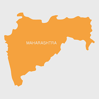
Maharashtra map, Maharashtra state outline, Maharashtra geography, Maharashtra region, India state maps, map of Indian states, Maharashtra borders, png -
2000x2729px

Bangladesh blank map, districts of Bangladesh, division of Bangladesh, black and white map, geographical outline, administrative regions, country borders -
1115x1280px

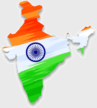
India flag map, Indian national symbol, tricolor India map, blank India map, political map of India, Ashoka Chakra design, Indian geography outline -
518x590px

Telangana state map, India blank map, states and territories of India, road map of India, political map of India, geographical map illustration, cartographic representation of India -
943x1091px

blank India map, states and territories of India outline, monochrome Indian political map, central India geography, Indian borderlines illustration, subcontinental regions layout, location markers on India无声無息无声无息无声无息China -
4351x3416px

Gujarat state map, Gujarat geographical layout, Gujarat district boundaries, Gujarat region outline, Indian state cartography, regional mapping, administrative divisions visualization, png -
1601x1920px

India map outline, India geographic shape, India country borders, India silhouette, map design, geographical illustration, country outline graphic, png -
1280x580px

red and white map illustration, Flag of Indonesia Brunei Map, greater Indonesia map, blank map with flag design, Southeast Asia political map, cartographic design elements, regional geography illustration -
3638x4000px

India states and territories map, blank India map, India political map, India regions map, Indian subcontinent map, India administrative divisions, India geography map -
576x644px

Indian flag map, Independence Day illustration, tricolor India design, Falun India icon, patriotic map graphic, national symbol art, independence celebration -
900x900px

India blank map, monochrome India silhouette, India map line art, black and white India map, India geographic outline, India country shape, India political borders -
1502x1658px

Africa silhouette map, black and white Africa map, monochrome Africa graphic, blank Africa map, African continent outline, geographical Africa shape, Africa continent -
2953x1911px

world map silhouette, monochrome world map, black and white globe, raster world map, global atlas design, earth map illustration, political map outline -
1500x1500px

Europe Map, black and white map, silhouette map, travel world, European countries, geographic outline, continent illustration -
892x906px

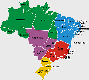
Brazil regions map, blank Brazil map, political map of Brazil, ecoregions of Brazil, South American geography, Brazilian states outline, map of Brazilian territories -
768x768px

Haryana blank map, Haryana silhouette, states of India map, black and white Haryana map, India geography outline, Haryana region illustration, Indian state borders graphic -
640x521px

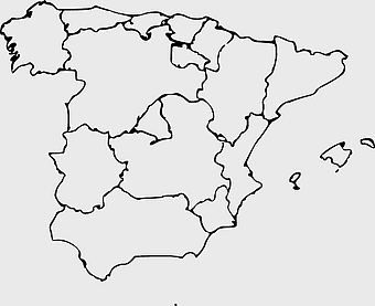
Spain blank map, autonomous communities outline, black and white geography map, spain political regions, spain educational map, spain regional divisions, spain line art map -
606x600px

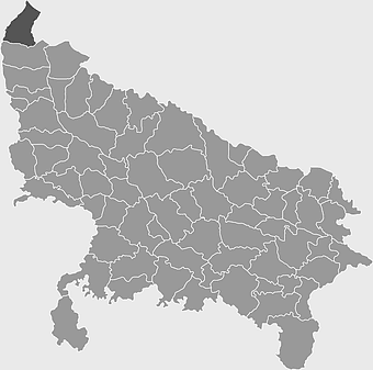
Uttar Pradesh map, black and white map, blank map of Uttar Pradesh, travel map India, geographical outline, state boundaries, regional division -
1249x1041px

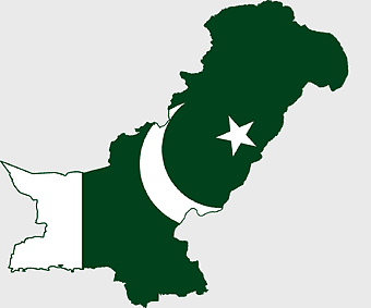
Flag of Pakistan map, green and white Pakistan map, Pakistan flag silhouette, topo map of Pakistan, Islamic country map, national symbol map, geographic outline of Pakistan -
1920x2400px

Bangladesh silhouette map, black and white Bangladesh map, blank Bangladesh map, monochrome Bangladesh map, Bangladesh geographic outline, Bangladesh country shape, Bangladesh political borders -
1080x1920px

India flag map, tricolor Indian flag, National flag of India art, India design outline, patriotic Indian symbol, emblem of Indian national identity, subcontinent cultural flag representation -
2400x1800px

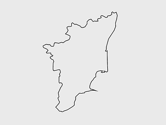
Tamil Nadu map outline, black and white India map, monochrome line art map, travel diagram India, geographic boundary illustration, state region outline, cartographic sketch Tamil Nadu -
600x600px

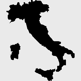
monochrome Italy map, black and white regions of Italy, silhouette map for travel, blank map of Italy, geographic outline of Italy, italy cartography visuals, italy administrative divisions illustration -
2937x2645px

Brazil regions map, South Region Brazil geography, Southeast Region Brazil political division, North Region Brazil ecoregion, Brazilian state boundaries, map of Brazilian territories, Brazilian regional subdivisions -
544x488px

Ukraine map silhouette, black and white Ukraine map, Ukrainian fauna map, travel Ukraine map, geographic outline of Ukraine, Ukrainian landscape illustration, Eastern European cartography -
2339x1377px

Russia Map silhouette, black and white Russia map, blank Russia map, monochrome world map, Russian geography outline, Eurasian landmass shape, northern hemisphere cartography -
800x800px

India blank map, turquoise India map, blue India map, India political map, India geographic outline, India cartography, India map illustration -
600x656px

India map silhouette, orange and green India map, blank India map, geography of India, Indian subcontinent map, South Asia map outline, India topography visualization -
2000x10865px

Santiago Chile map, monochrome regions of Chile, Chilean election map, black and white silhouette, Chile political divisions, Chilean geography outline, Chile travel regions -
5136x3072px

Antarctica map HD, Map of the world exquisite, world Cup travel, plate world map, global geographical visualization, high-resolution world atlas, seven continents cartography -
671x692px

India 3D map, turquoise India map, 3D computer graphics map, India world map, digital India cartography, 3D geographic visualization, aqua cartographic design -
875x583px

Maharashtra map, Chief Minister Government, Devendra Fadnavis, India travel, Maharashtra regional divisions, map of states with percentages, Maharashtra political geography -
1200x1584px

Colombia departments map, Putumayo Department outline, Boyacá Department geography, blank map of Colombia, Colombian regional boundaries, South American departmental divisions, cultural regions of Colombia -
500x500px

Maharashtra blank map, black and white silhouette, travel world map, stock map image, geographic outline, state boundary illustration, cartographic design -
2400x1800px

Maharashtra Map illustration, UK geography, monochrome area diagrams, line art states, geographic boundary outlines, regional cartography design, geopolitical zone mapping -
1024x1024px

Rajasthan map, blue map outline, travel world map, blank map template, geographical region, state boundary, cartographic design -
768x768px

Chhattisgarh silhouette map, Government of Chhattisgarh line art, Chhattisgarh state outline, Chhattisgarh map illustration, Chhattisgarh geographic shape, Indian state map art, Chhattisgarh region drawing -
1656x2282px

Bangladesh blank map, green map outline, mercator projection map, travel world map, geographic region, country borders, cartographic design -
1060x660px

Europe blank map, monochrome world map, black and white geography, cartography europe, political map analysis, continental borders visualization, geographic layout study -
740x444px

Southeast Asia map, blue ocean map, travel Southeast Asia, top ten countries, geographical region, cartographic representation, regional atlas -
694x709px

Africa map, orange Africa map, world map, Africa continent map, geographical representation, continental layout, visual geography of Africa -
758x858px

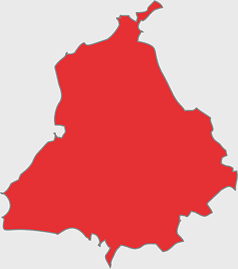
Punjabi language map, Punjab region, red map outline, India travel map, Punjabi culture, geographical map of Punjab, Punjab state borders -
512x512px

Maharashtra Blank map, orange silhouette map, road map topo, city map India, geospatial visualization, state boundary outlines, cartographic graphic design -
2602x1952px

Europe political map, European globe map, world geography, European area map, European continent map, European countries outline, European map illustration -
700x700px

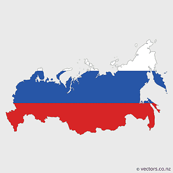
European Russia map, Russian flag colors, political map of Russia, blue and red map, geographic layout of Russia, Russian territorial divisions, Eurasian landmass representation -
1600x1054px

Telugu Desam Party logo, Andhra Pradesh politics, red bicycle illustration, Indian political symbols, cycling culture in India, political party emblems, transportation in Telugu regions -
980x618px

black silhouette USA map, blank United States map, monochrome map of USA, travel world map USA, geographic outline of America, continental United States shape, minimalist USA cartography -
1644x2400px

Colombia map, monochrome map, black and white map, travel world map, South America geography, political boundaries, regional divisions -
641x598px

Bahia Brazil map, green Bahia map, Northeast Region Brazil map, Bahia travel map, Brazil geographic outline, green map silhouette, Bahia region cartography -
640x586px

Europe blank map, European political map, black and white globe, world map pattern, geographic layout, cartographic design, continental outline -
406x669px

Flag of the Philippines, Visayas map contour, Luzon region outline, Philippines geographic art, Philippine island cartography, national symbols representation, Southeast Asian cartology -
1500x1500px

Indian Independence Day illustration, August 15th celebration, Flag of India design, India Independence Day art, patriotic floral design, vibrant cultural map, festive national holiday -
1280x1108px

Belarus map, European nation borders, Belarusian flag design, cartographic representation, geographic outline, political geography, illustration, png -
507x552px

India map outline, Kalady Ripple Ethereum Hinduism, Adi Shankara Alvars, line art map, Indian subcontinent geography, spiritual traditions India, cryptocurrency in India -
1208x1208px

European Union Map, info map Europe, European continent outline, европа карта, Geo-political boundaries visualization, Cartographic European regions, International borders depiction -
597x656px

South America map, Latin America political map, blank Americas map, travel world map, international borders, geographic regions, continental overview -
993x646px

Russia map silhouette, blank Russia map, Russian geography outline, black and white Russia outline, Eurasian region borders, political map of Europe and Asia, Slavic states boundaries -
1463x1238px

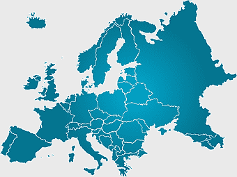
Europe Map, blue silhouette map, travel world map, European geography, continent outline, cartographic design, regional borders -
600x600px

Europe blank map, white globe world map, Europe classical borders, white political map, European geographic outline, continental map art, blank map designs -
1024x1024px

globe silhouette, equirectangular projection map, earth icon logo, world map projection, global geography illustration, international cartography design, planet earth visual -
846x914px

Delhi Legislative Assembly election 2015 map, Delhi Legislative Assembly election 2013 map, blank Delhi map, India political map, Delhi electoral districts, Indian state elections, political geography of Delhi
