India map silhouette, Indian geographic region, high-resolution India outline, India political divisions, India landmass representation, silhouette illustration of India, Indian subcontinent visual map, PNG free download
India map silhouette, Indian geographic region, high-resolution India outline, India political divisions, India landmass representation, silhouette illustration of India, Indian subcontinent visual map
1000x365pxIndonesia blank map, black silhouette map, monochrome world map, outline map of Indonesia, geographical outline, travel map design, cartographic illustration
700x700pxIndia silhouette map, India map drawing, India world map, India map design, Indian subcontinent outline, South Asia map illustration, India geographic shape
7506x8000pxIndia blank map, orange India silhouette, India world map design, stock India map, Indian geography outline, map of South Asia, India political borders
576x644pxIndian flag map, Independence Day illustration, tricolor India design, Falun India icon, patriotic map graphic, national symbol art, independence celebration
1280x580pxred and white map illustration, Flag of Indonesia Brunei Map, greater Indonesia map, blank map with flag design, Southeast Asia political map, cartographic design elements, regional geography illustration
1200x1200pxIndia monochrome map, Indian silhouette map, blank India map, black and white India map, India geographic outline, India country shape, India border illustration
700x838pxIndia Map illustration, India political map, blank India map, India state boundaries, Indian subcontinent geography, South Asia cartography, detailed India region map
510x540pxIndia Globe Map, India world map, orange India map, blank India map, geographical representation, cartographic design, subcontinent outline
1502x1658pxAfrica silhouette map, black and white Africa map, monochrome Africa graphic, blank Africa map, African continent outline, geographical Africa shape, Africa continent
1024x1024pxglobe silhouette, equirectangular projection map, earth icon logo, world map projection, global geography illustration, international cartography design, planet earth visual
900x900pxNizamabad District Map, Telangana State Outline, India Political Map, Yellow Region Highlight, Geographical Borders, Administrative Division, Regional Cartography
4186x1562pxNew York City skyline silhouette, monochrome cityscape illustration, skyscraper building silhouettes, urban metropolis outline, architectural design elements, cityscape graphics, high-rise urban structures
900x900pxKarnataka Legislative Assembly election map, India political map, yellow Karnataka outline, Karnataka election results map, Indian state boundaries, regional election visualization, political geography of Karnataka
595x689pxIndia blank map, political map of India, outline of India, white line map, geographical visualization, country borders, subcontinent layout
900x900pxKerala Map, India silhouette, blank Kerala map, travel Kerala, South India state, geographical outline, blue region map
734x815pxIndia silhouette map, black and white India map, monochrome India outline, India map, geographical representation of India, country shape illustration, Indian subcontinent outline
2953x1911pxworld map silhouette, monochrome world map, black and white globe, raster world map, global atlas design, earth map illustration, political map outline
1249x1041pxFlag of Pakistan map, green and white Pakistan map, Pakistan flag silhouette, topo map of Pakistan, Islamic country map, national symbol map, geographic outline of Pakistan
1980x800pxpeople silhouette illustration, black and white crowd, social group shadow, monochrome team, human figure outline, group dynamics visual, collective shadow art
675x421pxMaharashtra map, Maharashtra state outline, Maharashtra geography, Maharashtra region, India state maps, map of Indian states, Maharashtra borders, png
512x512pxSports car icon, black vehicle silhouette, automotive design graphic, car logo symbol, modern sports car illustration, high-performance vehicle graphic, sleek car outline art
1500x1500pxEurope Map, black and white map, silhouette map, travel world, European countries, geographic outline, continent illustration
1600x775pxsocial media audience silhouette, crowd of people silhouettes, monochrome crowd graphic, public relations visual, group dynamics illustration, community engagement icon, social gathering outline
892x906pxBrazil regions map, blank Brazil map, political map of Brazil, ecoregions of Brazil, South American geography, Brazilian states outline, map of Brazilian territories
544x488pxUkraine map silhouette, black and white Ukraine map, Ukrainian fauna map, travel Ukraine map, geographic outline of Ukraine, Ukrainian landscape illustration, Eastern European cartography
2400x2400pxIndian Independence Day illustration, August 15 public holiday, creative building design, flag of India logo, Indian cultural landmarks, patriotic holiday visuals, independence celebration art
512x512pxglobe silhouette, monochrome world icon, black and white earth symbol, desktop globe image, global map outline, planet graphic, universal symbol illustration
1200x1200pxhuman brain silhouette, outline of the human brain, brain thinking concept, monochrome head icon, cognitive function, mental health symbol, neurology visual representation
1600x1000pxIndia silhouette map, black and white India map, India political map, India map collection, geographical outline of India, country borders of India, South Asia map illustration
1500x1500pxIndian Independence Day illustration, August 15th celebration, Flag of India design, India Independence Day art, patriotic floral design, vibrant cultural map, festive national holiday
2000x2729pxBangladesh blank map, districts of Bangladesh, division of Bangladesh, black and white map, geographical outline, administrative regions, country borders
2339x1377pxRussia Map silhouette, black and white Russia map, blank Russia map, monochrome world map, Russian geography outline, Eurasian landmass shape, northern hemisphere cartography
1080x1080pxbusinessperson silhouette, formal wear, professional standing pose, black and white business image, corporate team visuals, executive group outline, office attire illustration
1115x1280pxIndia flag map, Indian national symbol, tricolor India map, blank India map, political map of India, Ashoka Chakra design, Indian geography outline
943x1091pxblank India map, states and territories of India outline, monochrome Indian political map, central India geography, Indian borderlines illustration, subcontinental regions layout, location markers on India无声無息无声无息无声无息China
2602x1952pxEurope political map, European globe map, world geography, European area map, European continent map, European countries outline, European map illustration
1024x1024pxJapan map silhouette, black and white Japan map, Japan prefectures outline, monochrome Japan map, Japanese geography illustration, Asia travel icon, country shape graphic
1920x2400pxBangladesh silhouette map, black and white Bangladesh map, blank Bangladesh map, monochrome Bangladesh map, Bangladesh geographic outline, Bangladesh country shape, Bangladesh political borders
800x800pxIndia Republic Day illustration, Happy Republic Day India, Ashoka Chakra emblem, Indian flag design, Indian cultural symbols, patriotic celebration graphics, national holiday visuals
980x618pxblack silhouette USA map, blank United States map, monochrome map of USA, travel world map USA, geographic outline of America, continental United States shape, minimalist USA cartography
518x590pxTelangana state map, India blank map, states and territories of India, road map of India, political map of India, geographical map illustration, cartographic representation of India
500x500pxMaharashtra blank map, black and white silhouette, travel world map, stock map image, geographic outline, state boundary illustration, cartographic design
5136x3072pxAntarctica map HD, Map of the world exquisite, world Cup travel, plate world map, global geographical visualization, high-resolution world atlas, seven continents cartography
1060x660pxEurope blank map, monochrome world map, black and white geography, cartography europe, political map analysis, continental borders visualization, geographic layout study
1080x1920pxIndia flag map, tricolor Indian flag, National flag of India art, India design outline, patriotic Indian symbol, emblem of Indian national identity, subcontinent cultural flag representation
1600x1135pxworld map illustration, mercator projection map, elegant world map design, political world map, global geography infographic, international borders visualization, earth continents layout
694x709pxAfrica map, orange Africa map, world map, Africa continent map, geographical representation, continental layout, visual geography of Africa
512x512pxglobe silhouette, monochrome earth symbol, black and white world icon, earth globe computer graphic, global geography illustration, planet earth outline, universal world map design
1601x1920pxIndia map outline, India geographic shape, India country borders, India silhouette, map design, geographical illustration, country outline graphic, png
2937x2645pxBrazil regions map, South Region Brazil geography, Southeast Region Brazil political division, North Region Brazil ecoregion, Brazilian state boundaries, map of Brazilian territories, Brazilian regional subdivisions
555x802pxPeru flag map, flag of Peru, Peru map outline, red and white flag, South American country flags, national symbol illustration, geographic boundary design
700x480pxdance silhouette, performing arts illustration, black and white dancer, choreography outline, nightlife art, movement sketch, social gathering visuals
671x692pxIndia 3D map, turquoise India map, 3D computer graphics map, India world map, digital India cartography, 3D geographic visualization, aqua cartographic design
2400x1800pxMaharashtra Map illustration, UK geography, monochrome area diagrams, line art states, geographic boundary outlines, regional cartography design, geopolitical zone mapping
1200x1584pxColombia departments map, Putumayo Department outline, Boyacá Department geography, blank map of Colombia, Colombian regional boundaries, South American departmental divisions, cultural regions of Colombia
900x900pxIndia blank map, monochrome India silhouette, India map line art, black and white India map, India geographic outline, India country shape, India political borders
768x768pxHaryana blank map, Haryana silhouette, states of India map, black and white Haryana map, India geography outline, Haryana region illustration, Indian state borders graphic
512x512pxMaharashtra Blank map, orange silhouette map, road map topo, city map India, geospatial visualization, state boundary outlines, cartographic graphic design
640x521pxSpain blank map, autonomous communities outline, black and white geography map, spain political regions, spain educational map, spain regional divisions, spain line art map
4950x4950pxEurope Earth Landform, Blue Earth Globe, Earth Lithosphere Model, Europe Continent Map, Global Geography Visualization, Terrestrial Planet Features, Eurasian Landmass Representation
4351x3416pxGujarat state map, Gujarat geographical layout, Gujarat district boundaries, Gujarat region outline, Indian state cartography, regional mapping, administrative divisions visualization, png
800x738pxAustralia monochrome map, black silhouette world map, Australia blank map, geography atlas, Australian continent outline, global monochrome cartography, earth silhouette illustration
2400x1800pxTamil Nadu map outline, black and white India map, monochrome line art map, travel diagram India, geographic boundary illustration, state region outline, cartographic sketch Tamil Nadu
1024x1024pxRajasthan map, blue map outline, travel world map, blank map template, geographical region, state boundary, cartographic design
1428x732pxworld map mercator projection, monochrome political map, south-up world map, blank map for coloring, global geography illustration, international borders outline, cartographic design elements
1656x2282pxBangladesh blank map, green map outline, mercator projection map, travel world map, geographic region, country borders, cartographic design
1280x625pxTokat Province map, Provinces of Turkey black and white, Istanbul region outline, Amasya location on map, Turkish geography illustration, blank Turkey provinces chart, Black Sea region cartography
2221x2082pxPriyanka Gandhi, Indian politician portraiture, formal attire appearance, traditional sari style, influential political figure, confident female leader, cultural representation visuals, png
2000x2000pxblack Brazil map illustration, Flag of Brazil blank map, black and white cartography, topo map of Brazil, geographic outline of Brazil, line art map design, early world map style
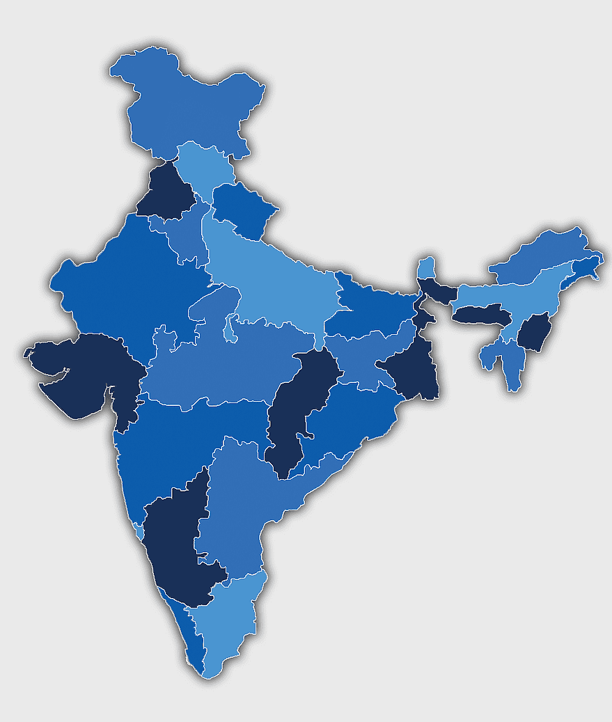
3638x4000pxIndia states and territories map, blank India map, India political map, India regions map, Indian subcontinent map, India administrative divisions, India geography map
500x1220pxIsrael-Palestine silhouette, Spiritual Guidance Australia logo, black and white map outline, monochrome country shape, geopolitical region graphic, spiritual guidance symbol, Middle East territory illustration
512x512pxTelangana political party logo, Telugu Desam Party emblem, Telangana Rashtra Samithi symbol, Andhra Pradesh party signage, Indian political party icon, regional governance emblem, agrarian and industrial politics representation