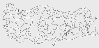
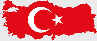
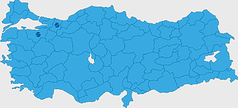
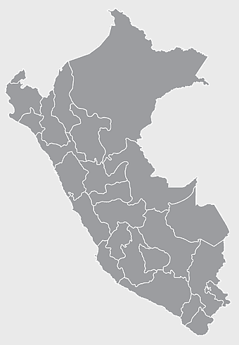
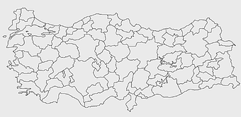
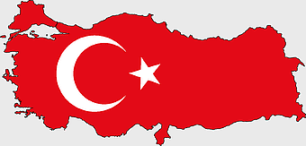
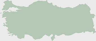
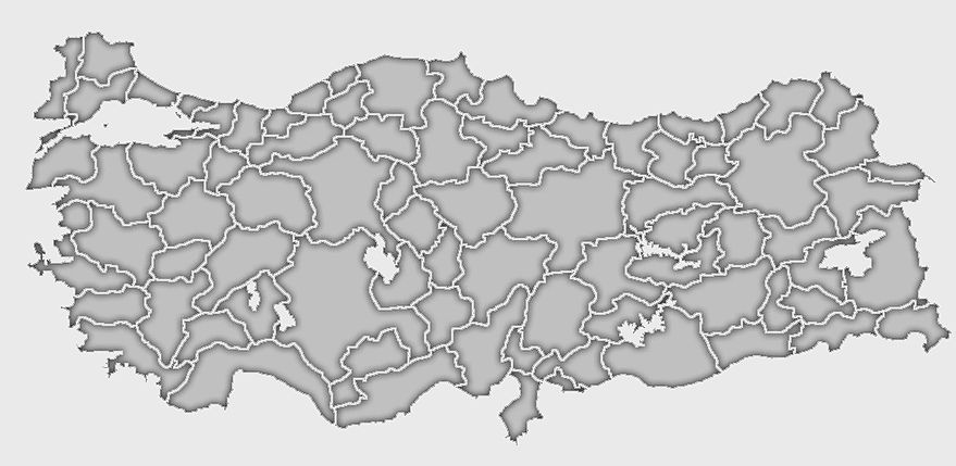
Türkiye map, Turkey geography, Turkish regions, Anatolia outline, country borders, political divisions, map visualization, png, PNG
keywords
- Türkiye map
- Turkey geography
- Turkish regions
- Anatolia outline
- country borders
- political divisions
- map visualization
- png
License: Personal use only
More related PNGs
-
3604x4798px

geographic outline, state border, cartographic design, landmass representation, regional map, coastal depiction, geographical frame -
578x578px

Brazil map, black and white map, mapa polityczna, travel world, South America geography, political division, country borders -
900x900px

Nizamabad District Map, Telangana State Outline, India Political Map, Yellow Region Highlight, Geographical Borders, Administrative Division, Regional Cartography -
900x900px

Karnataka Legislative Assembly election map, India political map, yellow Karnataka outline, Karnataka election results map, Indian state boundaries, regional election visualization, political geography of Karnataka -
1280x625px

Tokat Province map, Provinces of Turkey black and white, Istanbul region outline, Amasya location on map, Turkish geography illustration, blank Turkey provinces chart, Black Sea region cartography -
7506x8000px

India blank map, orange India silhouette, India world map design, stock India map, Indian geography outline, map of South Asia, India political borders -
2000x2729px

Bangladesh blank map, districts of Bangladesh, division of Bangladesh, black and white map, geographical outline, administrative regions, country borders -
1280x580px

red and white map illustration, Flag of Indonesia Brunei Map, greater Indonesia map, blank map with flag design, Southeast Asia political map, cartographic design elements, regional geography illustration -
595x689px

India blank map, political map of India, outline of India, white line map, geographical visualization, country borders, subcontinent layout -
892x906px

Brazil regions map, blank Brazil map, political map of Brazil, ecoregions of Brazil, South American geography, Brazilian states outline, map of Brazilian territories -
2602x1952px

Europe political map, European globe map, world geography, European area map, European continent map, European countries outline, European map illustration -
675x421px

Maharashtra map, Maharashtra state outline, Maharashtra geography, Maharashtra region, India state maps, map of Indian states, Maharashtra borders, png -
3001x1099px

grey Indonesia map, blank globe illustration, monochrome country map, flat design travel map, Southeast Asia geography, archipelago outline, island nation cartography -
640x521px

Spain blank map, autonomous communities outline, black and white geography map, spain political regions, spain educational map, spain regional divisions, spain line art map -
444x701px

England Map UK, flag of the United Kingdom, map of Great Britain, blue and red design, British geography, UK political division, Union Jack overlay -
2937x2645px

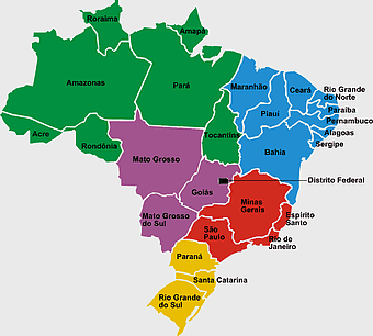
Brazil regions map, South Region Brazil geography, Southeast Region Brazil political division, North Region Brazil ecoregion, Brazilian state boundaries, map of Brazilian territories, Brazilian regional subdivisions -
980x914px

Flag of Pakistan, blank map, black silhouette, monochrome map, Pakistan geography, political borders, country outline -
850x550px

blue world map, early cartography atlas, political map collection, world map line art, global geography illustration, international map design, earth continent layout -
1280x684px

Russian Revolution map, Flag of Russia, Russia topo map, blue flag, Russian historical map, Soviet era map, Russian political divisions -
1200x641px

Russia blank map, black and white Russia map, monochrome Russia map, white Russia map, Russian geography, political map of Russia, Russia outline map -
700x838px

India Map illustration, India political map, blank India map, India state boundaries, Indian subcontinent geography, South Asia cartography, detailed India region map -
2292x2334px

Flag of France Map, French Country outline, blank France map, tricolor France flag, European nation borders, French geography, national symbol design -
1200x1584px

Colombia departments map, Putumayo Department outline, Boyacá Department geography, blank map of Colombia, Colombian regional boundaries, South American departmental divisions, cultural regions of Colombia -
2294x974px

Flag of Turkey Map, red Turkey flag, Turkish symbol, travel Turkey, crescent moon art, star emblem, national identity -
940x515px

world map, contour line, map projection, atlas, geographic visualization, cartographic design, global geography, earth representation -
2382x1089px

Turkey map poster, Turkish flag art, travel world map, Turkey area map, Turkish geography, Turkish regions, Turkish cartography -
500x721px

Peru political map, Lima city map, black and white world map, map of Peru, South America geography, country borders illustration, travel destination guide -
1062x399px

Indonesian Map, red map outline, travel World, cartography, Southeast Asia geography, archipelago nation, island nation map -
1200x1200px

India monochrome map, Indian silhouette map, blank India map, black and white India map, India geographic outline, India country shape, India border illustration -
1920x2400px

Bangladesh silhouette map, black and white Bangladesh map, blank Bangladesh map, monochrome Bangladesh map, Bangladesh geographic outline, Bangladesh country shape, Bangladesh political borders -
2000x10865px

Santiago Chile map, monochrome regions of Chile, Chilean election map, black and white silhouette, Chile political divisions, Chilean geography outline, Chile travel regions -
800x700px

Minsk blank map, Flag of Belarus, OpenStreetMap map, black and white geography, Belarusian political divisions, European cartography, monochrome country outline -
1600x1135px

world map illustration, mercator projection map, elegant world map design, political world map, global geography infographic, international borders visualization, earth continents layout -
1024x1024px

Japan map silhouette, black and white Japan map, Japan prefectures outline, monochrome Japan map, Japanese geography illustration, Asia travel icon, country shape graphic -
4502x2222px

gray world map, country borders map, line drawing map, world geography map, global outline, international borders, earth divisions, png -
2000x1602px

Flag of Nigeria, Nigeria map outline, Nigerian national symbol, green and white design, African country borders, Nigerian geography visual, Nigerian emblem shape -
1217x912px

Flag of China, Provinces of China, red map, national flag, Chinese geography, Asian country map, star symbols -
1600x1000px

India silhouette map, black and white India map, India political map, India map collection, geographical outline of India, country borders of India, South Asia map illustration -
1463x1238px

Europe Map, blue silhouette map, travel world map, European geography, continent outline, cartographic design, regional borders -
704x692px

Brazil regions map, Brazilian states geography, dot distribution map Brazil, travel world Brazil, South American countries map, political division of Brazil, Brazil map with states -
1600x781px

turkish kurdistan map, provinces of turkey map, eastern anatolia region map, blank turkey map, geographic boundaries of turkey, turkey provinces, turkey area visualization -
1656x2282px

Bangladesh blank map, green map outline, mercator projection map, travel world map, geographic region, country borders, cartographic design -
1126x1327px

Regions of Italy Map, black and white Italy map, line art Italy regions, Italy area divisions, Italian geography outline, Italian travel map, Italian regional borders -
1644x2400px

Colombia map, monochrome map, black and white map, travel world map, South America geography, political boundaries, regional divisions -
2290x2285px

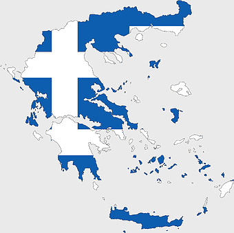
Flag of Greece map, Greek national symbol, Greece travel world map, Greek flag overlay, Hellenic geography, Mediterranean country borders, Aegean region cartography -
1060x660px

Europe blank map, monochrome world map, black and white geography, cartography europe, political map analysis, continental borders visualization, geographic layout study -
1428x732px

world map mercator projection, monochrome political map, south-up world map, blank map for coloring, global geography illustration, international borders outline, cartographic design elements -
450x600px

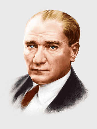
Mustafa Kemal Atatürk portrait, Turkish revolutionary leader, historical figure of Turkey, army officer commemoration, national hero depiction, leadership in Turkey history, art of political figures -
920x1000px

East Asia country map, East Asia capital cities, East Asia geography illustration, East Asia travel map, Asia political map, Asian nation borders, East Asian region cartography -
719x460px

Switzerland flag map, Swiss national emblem, Swiss geography outline, flag of Switzerland, European country borders, political map of Europe, bordering nations of Switzerland -
1438x689px

Flag of Turkey map, Turkish national flag, red crescent and star, blank Turkey map, Turkish geography, crescent moon symbol, Turkish cultural iconography -
1200x1200px

world map, computer-generated world map, black and white world map, пробковая карта мира, global geography illustration, international map design, earth continents outline -
575x350px

Asia political map, blank Asia map, travel Asia map, top 10 Asian countries, Asian geography, Asian continent map, Asian country borders -
993x646px

Russia map silhouette, blank Russia map, Russian geography outline, black and white Russia outline, Eurasian region borders, political map of Europe and Asia, Slavic states boundaries -
1686x713px

Flag of Turkey, Turkey map, National flag, blank map, geographic outline, country borders, green landscape -
2358x1496px

Afghanistan flag map, Afghan national emblem, blank Afghanistan map, red green black flag, Afghan political geography, country outline with flag, Afghanistan border design -
1024x1024px

Flag of Indonesia Map, black silhouette map, komodo travel, monochrome Indonesia map, Southeast Asia geography, archipelago nation, island nation outline -
742x866px

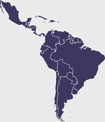
South America map, Latin America political map, blank Americas map, latino integration, South American geography, political boundaries Americas, continental map analysis -
875x583px

Maharashtra map, Chief Minister Government, Devendra Fadnavis, India travel, Maharashtra regional divisions, map of states with percentages, Maharashtra political geography -
720x895px

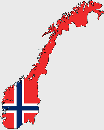
Norway blank map, Norwegian geography, flag of Norway, travel world map, Scandinavian cartography, Nordic region outline, European country borders -
3638x4000px

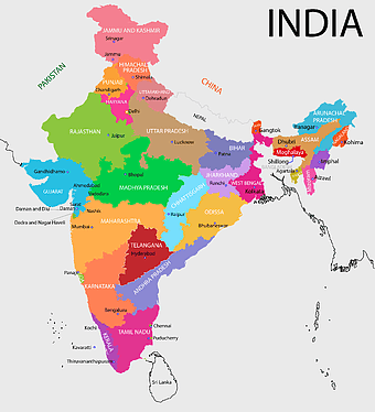
India states and territories map, blank India map, India political map, India regions map, Indian subcontinent map, India administrative divisions, India geography map -
1265x1280px

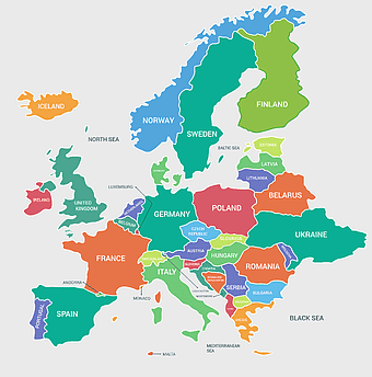
Europe map, European countries chart, digital drawing of Europe, educational European map, European geography, continental map analysis, European borders visualization, png -
736x507px

Russia orange map, Russian city map, blank Russia map, scale map of Russia, Russian geography, political map of Russia, Russian urban areas -
800x583px

Mexico United States border map, blank political map, black and white world map, monochrome country diagram, international geography layout, cartographic line art, travel destination atlas -
2282x834px

Indonesia flag map, red and white map illustration, national symbols of Indonesia, flag of Indonesia map, Indonesian geography design, Southeast Asia travel map, Asian country flags -
1115x1280px

India flag map, Indian national symbol, tricolor India map, blank India map, political map of India, Ashoka Chakra design, Indian geography outline -
2953x1911px

world map silhouette, monochrome world map, black and white globe, raster world map, global atlas design, earth map illustration, political map outline -
1280x1584px

Flag of Germany, Allied-occupied Germany Map, blank Map, red yellow black, German territorial divisions, historical Germany map, post-war Germany borders -
960x1132px

India map silhouette, Indian geographic region, high-resolution India outline, India political divisions, India landmass representation, silhouette illustration of India, Indian subcontinent visual map -
1249x1041px

Flag of Pakistan map, green and white Pakistan map, Pakistan flag silhouette, topo map of Pakistan, Islamic country map, national symbol map, geographic outline of Pakistan -
2400x1600px

Flag of Ukraine, Ukrainian national flag map, blue and yellow map, political map of Ukraine, Eastern European map design, country outline flag, Ukraine geography graphic -
1208x1208px

European Union Map, info map Europe, European continent outline, европа карта, Geo-political boundaries visualization, Cartographic European regions, International borders depiction -
1500x1500px

Europe Map, black and white map, silhouette map, travel world, European countries, geographic outline, continent illustration -
1607x1920px

Italy silhouette map, black and white Italy outline, monochrome Italy boot shape, line art Italy geography, Italian travel destinations, European country borders, Mediterranean region cartography -
4351x3416px

Gujarat state map, Gujarat geographical layout, Gujarat district boundaries, Gujarat region outline, Indian state cartography, regional mapping, administrative divisions visualization, png
