Delhi Legislative Assembly election 2015 map, Delhi Legislative Assembly election 2013 map, blank Delhi map, India political map, Delhi electoral districts, Indian state elections, political geography of Delhi, PNG free download
Delhi Legislative Assembly election 2015 map, Delhi Legislative Assembly election 2013 map, blank Delhi map, India political map, Delhi electoral districts, Indian state elections, political geography of Delhi
More related PNGs
7506x8000pxIndia blank map, orange India silhouette, India world map design, stock India map, Indian geography outline, map of South Asia, India political borders
1280x580pxred and white map illustration, Flag of Indonesia Brunei Map, greater Indonesia map, blank map with flag design, Southeast Asia political map, cartographic design elements, regional geography illustration
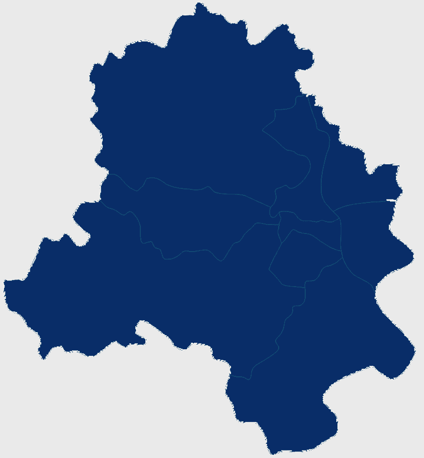
900x900pxKarnataka Legislative Assembly election map, India political map, yellow Karnataka outline, Karnataka election results map, Indian state boundaries, regional election visualization, political geography of Karnataka
2000x2171pxTamil Nadu Government Seal, Tamil Nadu Legislative Assembly emblem, State Emblem of India, gopuram temple illustration, Indian state symbols, Tamil Nadu official logo, South Indian government insignia
700x838pxIndia Map illustration, India political map, blank India map, India state boundaries, Indian subcontinent geography, South Asia cartography, detailed India region map
1200x1200pxIndia monochrome map, Indian silhouette map, blank India map, black and white India map, India geographic outline, India country shape, India border illustration
675x421pxMaharashtra map, Maharashtra state outline, Maharashtra geography, Maharashtra region, India state maps, map of Indian states, Maharashtra borders, png
1200x641pxRussia blank map, black and white Russia map, monochrome Russia map, white Russia map, Russian geography, political map of Russia, Russia outline map
1425x1199pxChina flag map, Flag of China blank map, red China map, Chinese flag stars, China political map, China geography illustration, China national symbol design
892x906pxBrazil regions map, blank Brazil map, political map of Brazil, ecoregions of Brazil, South American geography, Brazilian states outline, map of Brazilian territories
736x507pxRussia orange map, Russian city map, blank Russia map, scale map of Russia, Russian geography, political map of Russia, Russian urban areas
900x900pxNizamabad District Map, Telangana State Outline, India Political Map, Yellow Region Highlight, Geographical Borders, Administrative Division, Regional Cartography
900x900pxKerala Map, India silhouette, blank Kerala map, travel Kerala, South India state, geographical outline, blue region map
742x866pxSouth America map, Latin America political map, blank Americas map, latino integration, South American geography, political boundaries Americas, continental map analysis
595x689pxIndia blank map, political map of India, outline of India, white line map, geographical visualization, country borders, subcontinent layout
1115x1280pxIndia flag map, Indian national symbol, tricolor India map, blank India map, political map of India, Ashoka Chakra design, Indian geography outline
900x900pxTamil Nadu Legislative Assembly election 2016 results, AIADMK political party, Tamil Nadu state assembly elections, yellow electoral map, Indian state election outcomes, political geography of Tamil Nadu, regional election analysis
943x1091pxblank India map, states and territories of India outline, monochrome Indian political map, central India geography, Indian borderlines illustration, subcontinental regions layout, location markers on India无声無息无声无息无声无息China
1280x640pxParliament of India, Indian Government Architecture, National Landmark, Indian Flag, Historical Building, Legislative Assembly, Civic Structure, png
768x768pxSpecial Status Andhra Pradesh, Andhra Pradesh Legislative Assembly election, blue India map, electoral district Andhra Pradesh, Andhra Pradesh political map, N Chandrababu Naidu protests, Andhra Pradesh government policies
1060x660pxEurope blank map, monochrome world map, black and white geography, cartography europe, political map analysis, continental borders visualization, geographic layout study
518x590pxTelangana state map, India blank map, states and territories of India, road map of India, political map of India, geographical map illustration, cartographic representation of India
446x729pxsouth Korean Presidential Election 1967 map, Seoul black and white silhouette, Korean Peninsula monochrome illustration, South Korea election geography, political history of Korea, historical election visuals, Asian political cartography
688x838pxSouth America blank map, Central America monochrome map, Latin America line art, Americas geography illustration, political map of South America, educational map drawing, travel map of Americas
1428x732pxworld map mercator projection, monochrome political map, south-up world map, blank map for coloring, global geography illustration, international borders outline, cartographic design elements
768x768pxHaryana blank map, Haryana silhouette, states of India map, black and white Haryana map, India geography outline, Haryana region illustration, Indian state borders graphic
1024x570pxAam Aadmi Party logo, black brush stroke, Punjab Legislative Assembly election 2017, Arvind Kejriwal campaign, political party emblem, Indian election symbol, chief minister election graphic
958x1647pxIndian National Congress hand symbol, monochrome line art, black and white political icon, electoral symbol India, Indian political party logo, hand gesture artwork, monochrome political
512x512pxMaharashtra Blank map, orange silhouette map, road map topo, city map India, geospatial visualization, state boundary outlines, cartographic graphic design
800x583pxMexico United States border map, blank political map, black and white world map, monochrome country diagram, international geography layout, cartographic line art, travel destination atlas
518x518pxBharatiya Janata Party logo, Indian political party symbol, lotus flower icon, electoral symbol India, BJP party emblem, Indian political emblem, political party branding
512x512pxPakistan Tehreek-e-Insaf logo, Imran Khan PTI emblem, Pakistani general election 2018, Khyber Pakhtunkhwa Assembly, political party insignia, electoral campaign symbol, national party crest
980x914pxFlag of Pakistan, blank map, black silhouette, monochrome map, Pakistan geography, political borders, country outline
851x936pxMizoram cultural heritage tourism, Incredible India advertising, India map illustration, heritage tourism in India, Indian state landmarks, travel map of India, cultural diversity in India
3638x4000pxIndia states and territories map, blank India map, India political map, India regions map, Indian subcontinent map, India administrative divisions, India geography map
2937x2645pxBrazil regions map, South Region Brazil geography, Southeast Region Brazil political division, North Region Brazil ecoregion, Brazilian state boundaries, map of Brazilian territories, Brazilian regional subdivisions
2400x1392pxUnited States blank map, U.S. state outline, black and white map, geography line art, political map of America, educational map design, USA state borders illustration
507x552pxIndia map outline, Kalady Ripple Ethereum Hinduism, Adi Shankara Alvars, line art map, Indian subcontinent geography, spiritual traditions India, cryptocurrency in India
600x656pxIndia map silhouette, orange and green India map, blank India map, geography of India, Indian subcontinent map, South Asia map outline, India topography visualization
900x900pxIndia blank map, monochrome India silhouette, India map line art, black and white India map, India geographic outline, India country shape, India political borders
2206x2190pxEuropean Union member states map, Flag of Europe, UK map, Eurozone countries, European geography, EU political boundaries, European Union membership
800x1200pxSouth Korean presidential election 2017 map, provinces of South Korea, black and white Korea map, South Korea blank map, Korean political geography, Korean election results visualization, Korean regional boundaries
640x521pxSpain blank map, autonomous communities outline, black and white geography map, spain political regions, spain educational map, spain regional divisions, spain line art map
575x350pxAsia political map, blank Asia map, travel Asia map, top 10 Asian countries, Asian geography, Asian continent map, Asian country borders
4351x3416pxGujarat state map, Gujarat geographical layout, Gujarat district boundaries, Gujarat region outline, Indian state cartography, regional mapping, administrative divisions visualization, png
875x583pxMaharashtra map, Chief Minister Government, Devendra Fadnavis, India travel, Maharashtra regional divisions, map of states with percentages, Maharashtra political geography
550x587pxBrazil map, world map, blank map, travel world, geometric map design, South America geography, political map layout
993x646pxRussia map silhouette, blank Russia map, Russian geography outline, black and white Russia outline, Eurasian region borders, political map of Europe and Asia, Slavic states boundaries
2358x1496pxAfghanistan flag map, Afghan national emblem, blank Afghanistan map, red green black flag, Afghan political geography, country outline with flag, Afghanistan border design
700x683pxFlag of Texas, Texas state flag map, blank Texas map, Texas flag design, Texas state outline, Lone Star state map, Texas geography illustration
960x1132pxIndia map silhouette, Indian geographic region, high-resolution India outline, India political divisions, India landmass representation, silhouette illustration of India, Indian subcontinent visual map
800x800pxIndia blank map, turquoise India map, blue India map, India political map, India geographic outline, India cartography, India map illustration
2000x2208pxSanta Cruz Department map, Departments of Bolivia Atlas, blank map of Bolivia, line Art map, Bolivia political divisions, South American geography, Bolivian department boundaries
1137x1137pxChina monochrome map, China silhouette, blank China map, provinces of China, Chinese geography outline, China political regions, China cartography design
500x500pxGwalior Government logo, Madhya Pradesh official emblem, Raisen district crest, India government symbol, Indian state insignia, governmental badge design, public institution iconography
800x700pxMinsk blank map, Flag of Belarus, OpenStreetMap map, black and white geography, Belarusian political divisions, European cartography, monochrome country outline
704x692pxBrazil regions map, Brazilian states geography, dot distribution map Brazil, travel world Brazil, South American countries map, political division of Brazil, Brazil map with states
2000x10865pxSantiago Chile map, monochrome regions of Chile, Chilean election map, black and white silhouette, Chile political divisions, Chilean geography outline, Chile travel regions
606x600pxUttar Pradesh map, black and white map, blank map of Uttar Pradesh, travel map India, geographical outline, state boundaries, regional division
2957x3150pxIndia illustration, Agra Delhi tour package, Tamil Nadu travel agent, Indian tourist attractions, Asian cultural landmarks, heritage travel destination, colorful map design
2999x1631pxworld map silhouette, blue world map, political map stencil, blank world map, global geography illustration, international borders outline, earth continents chart
512x512pxAllahabad Lucknow logo, Uttar Pradesh Police symbol, black and white government emblem, monochrome India organization, Indian state governance, legislative council icon, Noida administrative design
924x586pxRussia blank map, flag of Russia, world map geography, blue map, Russian political divisions, Eurasian cartography, Russian federation outline
1600x1600pxTelangana tourism attractions, Hyderabad cultural landmarks, Telangana State map collage, Telangana heritage sites, Indian state tourism, South India travel destinations, Telugu cultural heritage