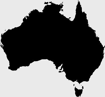
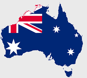
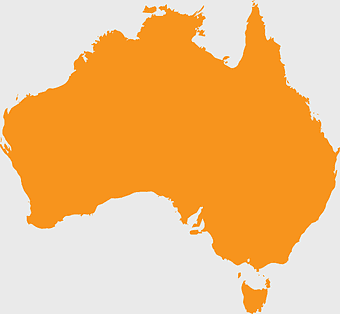
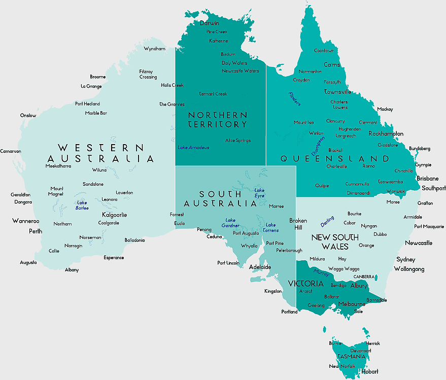
Australia Map, Map of Australia, place names, map icon, Australian geography, state boundaries, regional landmarks, PNG
keywords
- Australia Map
- Map of Australia
- place names
- map icon
- Australian geography
- state boundaries
- regional landmarks
License: Personal use only
More related PNGs
-
700x838px

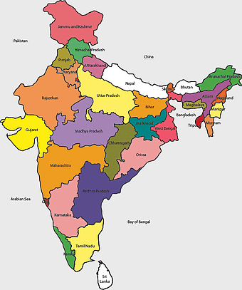
India Map illustration, India political map, blank India map, India state boundaries, Indian subcontinent geography, South Asia cartography, detailed India region map -
3604x4798px

geographic outline, state border, cartographic design, landmass representation, regional map, coastal depiction, geographical frame -
2400x1980px

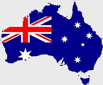
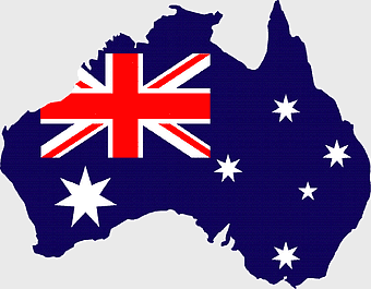
Australia Flag Map, Australian national flag, blue and white stars, red white and blue design, Australian geography, Commonwealth symbol, Southern Cross constellation -
900x900px

Karnataka Legislative Assembly election map, India political map, yellow Karnataka outline, Karnataka election results map, Indian state boundaries, regional election visualization, political geography of Karnataka -
675x421px

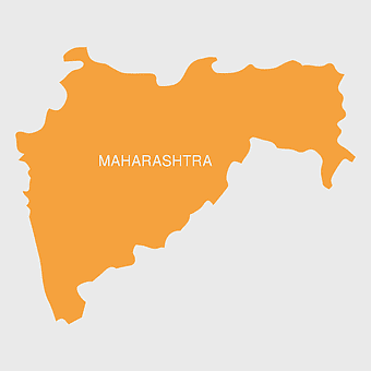
Maharashtra map, Maharashtra state outline, Maharashtra geography, Maharashtra region, India state maps, map of Indian states, Maharashtra borders, png -
800x738px

Australia monochrome map, black silhouette world map, Australia blank map, geography atlas, Australian continent outline, global monochrome cartography, earth silhouette illustration -
2937x2645px

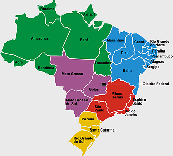
Brazil regions map, South Region Brazil geography, Southeast Region Brazil political division, North Region Brazil ecoregion, Brazilian state boundaries, map of Brazilian territories, Brazilian regional subdivisions -
2400x1800px

Maharashtra Map illustration, UK geography, monochrome area diagrams, line art states, geographic boundary outlines, regional cartography design, geopolitical zone mapping -
892x906px

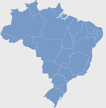
Brazil regions map, blank Brazil map, political map of Brazil, ecoregions of Brazil, South American geography, Brazilian states outline, map of Brazilian territories -
1280x998px

Australia map with flag, Australian flag map, Australia map illustration, Australian flag design, Australian geography, Australian national symbol, Australian cartography -
1280x580px

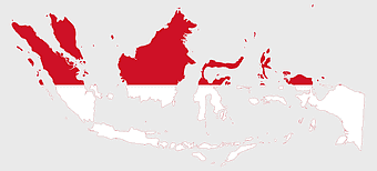
red and white map illustration, Flag of Indonesia Brunei Map, greater Indonesia map, blank map with flag design, Southeast Asia political map, cartographic design elements, regional geography illustration -
1200x1584px

Colombia departments map, Putumayo Department outline, Boyacá Department geography, blank map of Colombia, Colombian regional boundaries, South American departmental divisions, cultural regions of Colombia -
1280x801px

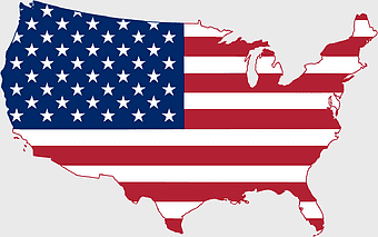
Flag of the United States Map, national Flag of USA, travel World with US flag, geography of the United States, American patriotic symbols, USA map design, stars and stripes layout -
1024x1024px

Rajasthan map, blue map outline, travel world map, blank map template, geographical region, state boundary, cartographic design -
612x416px

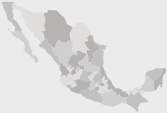
Mexico State Puebla map, administrative divisions of Mexico, black and white map, Puebla Mexico State, Mexican geography, state boundaries, regional cartography -
500x500px

Australian flag sphere, blue australian flag icon, flag of Australia circle, australian flag logo, round australian emblem, glossy flag design, national symbol button -
900x900px

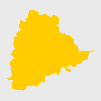
Nizamabad District Map, Telangana State Outline, India Political Map, Yellow Region Highlight, Geographical Borders, Administrative Division, Regional Cartography -
742x866px

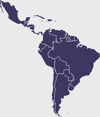
South America map, Latin America political map, blank Americas map, latino integration, South American geography, political boundaries Americas, continental map analysis -
4351x3416px

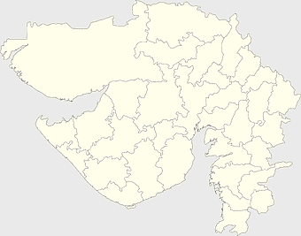
Gujarat state map, Gujarat geographical layout, Gujarat district boundaries, Gujarat region outline, Indian state cartography, regional mapping, administrative divisions visualization, png -
900x900px

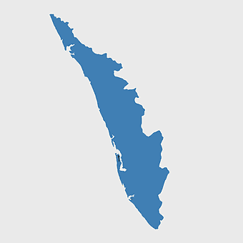
Kerala Map, India silhouette, blank Kerala map, travel Kerala, South India state, geographical outline, blue region map -
1024x377px

Flag of Indonesia Map, black and white map, Indonesia line art, monochrome travel map, Southeast Asia geography, archipelago illustration, political boundaries -
993x646px

Russia map silhouette, blank Russia map, Russian geography outline, black and white Russia outline, Eurasian region borders, political map of Europe and Asia, Slavic states boundaries -
1001x555px

Russia political map, карта россии, world map cartography, mapa polityczna Russia, Russian federation regions, geopolitical boundaries, Eurasian territories -
768x768px

Haryana blank map, Haryana silhouette, states of India map, black and white Haryana map, India geography outline, Haryana region illustration, Indian state borders graphic -
2206x2190px

European Union member states map, Flag of Europe, UK map, Eurozone countries, European geography, EU political boundaries, European Union membership -
807x725px

Australia flag map, Australian Federation Flag design, Flag of Australia continent shape, Australian national symbol, Australian geographic emblem, Commonwealth of Australia representation, Aussie patriotic iconography -
1437x1495px

Asia continental map, Asia Europe globe, mercator projection map, blank Asia map, world geography, global cartography, continental boundaries -
1644x2400px

Colombia map, monochrome map, black and white map, travel world map, South America geography, political boundaries, regional divisions -
512x512px

red location icon, map landmark, location information, direction icon, navigation symbol, geographic marker, pinpoint location -
660x660px

globe, world map, United States, sphere, global geography, earth atlas, international continents -
500x500px

Maharashtra blank map, black and white silhouette, travel world map, stock map image, geographic outline, state boundary illustration, cartographic design -
1024x1024px

globe silhouette, equirectangular projection map, earth icon logo, world map projection, global geography illustration, international cartography design, planet earth visual -
2816x1691px

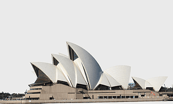
Sydney Opera House, Australia architecture, Sydney travel poster, Port Jackson landmark, iconic Australian building, waterfront cultural center, modernist design masterpiece -
2400x1800px

Tamil Nadu map outline, black and white India map, monochrome line art map, travel diagram India, geographic boundary illustration, state region outline, cartographic sketch Tamil Nadu -
596x550px

Australia globe map, flag of Australia, orange world map, Australia geography, global cartography, continental mapping, geographical illustration -
1280x1280px

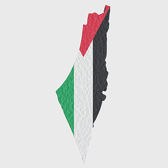
Palestine map, Gaza region, Palestinian flag, Middle East conflict, territorial boundaries, geopolitical area, national identity, png -
640x480px

Australian flag sphere, blue national flag icon, Australia flag globe, flags of the world collection, round flag emblem, 3D flag representation, international flag design -
1272x660px

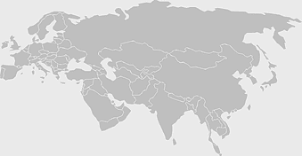
Europe and Asia map, Afro-Eurasia world map, black and white world map, United States and Europe map, global geography chart, continental boundaries illustration, international cartography design -
606x600px

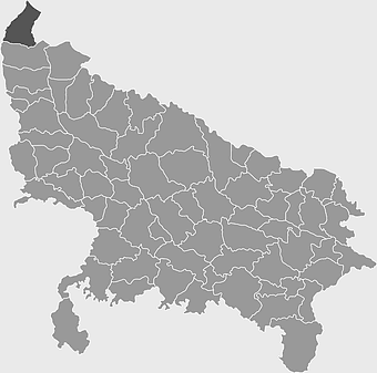
Uttar Pradesh map, black and white map, blank map of Uttar Pradesh, travel map India, geographical outline, state boundaries, regional division -
815x543px

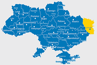
Ukraine political map, Ukrainian regions, world map area, travel Ukraine, European geography, cartography visualization, geopolitical boundaries -
2957x3172px

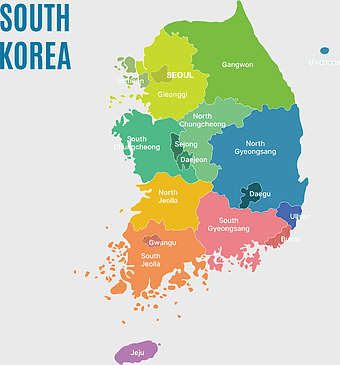
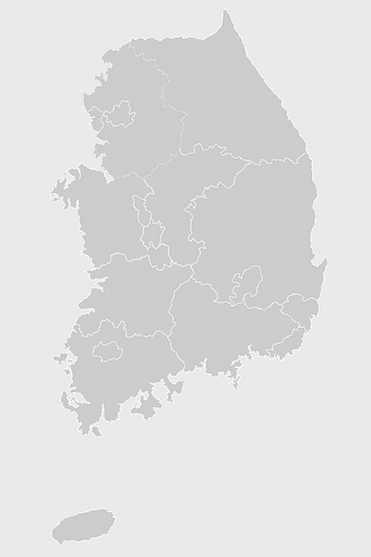
South Korea map, Seoul location, Gangwon province, Jeju island, Korean geography, regional divisions, administrative boundaries, png -
1100x479px

white and teal island illustration, United States continent map, beautiful world map design, seven continents map, global cartography art, 3D world geography, international travel map -
2000x3000px

Religion in South Korea, South Korea map, Korean Buddhism, provinces of South Korea, Korean cultural geography, Korean religious landscape, Korean spiritual regions -
512x512px

Maharashtra Blank map, orange silhouette map, road map topo, city map India, geospatial visualization, state boundary outlines, cartographic graphic design -
1280x625px

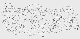
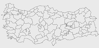
Tokat Province map, Provinces of Turkey black and white, Istanbul region outline, Amasya location on map, Turkish geography illustration, blank Turkey provinces chart, Black Sea region cartography -
641x598px

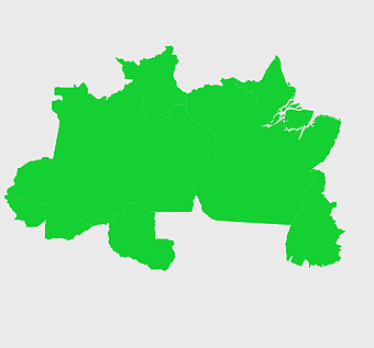
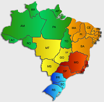
Brazil regions map, North Region Brazil, Central-West Region Brazil, green geography map, Brazilian states outline, South American regions, Amazon rainforest area -
1463x1238px

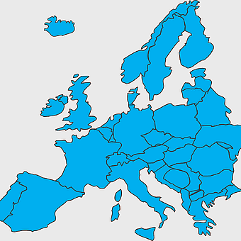
Europe Map, blue silhouette map, travel world map, European geography, continent outline, cartographic design, regional borders -
800x1200px

South Korean presidential election 2017 map, provinces of South Korea, black and white Korea map, South Korea blank map, Korean political geography, Korean election results visualization, Korean regional boundaries -
1024x838px

American flag map, USA patriotic banner, United States flag design, travel world USA, American stars and stripes, USA flag silhouette, American flag geography -
704x692px

Brazil regions map, Brazilian states geography, dot distribution map Brazil, travel world Brazil, South American countries map, political division of Brazil, Brazil map with states -
943x1091px

blank India map, states and territories of India outline, monochrome Indian political map, central India geography, Indian borderlines illustration, subcontinental regions layout, location markers on India无声無息无声无息无声无息China -
640x521px

Spain blank map, autonomous communities outline, black and white geography map, spain political regions, spain educational map, spain regional divisions, spain line art map -
3638x4000px

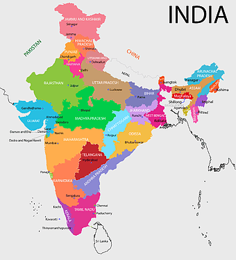
India states and territories map, blank India map, India political map, India regions map, Indian subcontinent map, India administrative divisions, India geography map -
1920x1080px

Flag of the United States Map, usa flag independence day, united states travel map, Flag of the United States overlay, American patriotic map, USA geography illustration, Stars and Stripes cartography -
875x583px

Maharashtra map, Chief Minister Government, Devendra Fadnavis, India travel, Maharashtra regional divisions, map of states with percentages, Maharashtra political geography -
900x900px

Tamil Nadu Legislative Assembly election 2016 results, AIADMK political party, Tamil Nadu state assembly elections, yellow electoral map, Indian state election outcomes, political geography of Tamil Nadu, regional election analysis -
800x491px

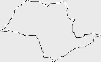
São Paulo city map, black and white map, monochrome line art, Brazil geography, urban layout, cartographic design, regional landmarks -
2000x2025px

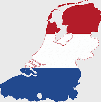
Netherlands Flanders map, Greater Netherlands flag, Dutch flag colors, Flanders region map, European political geography, Netherlands cultural regions, Netherlands historical territories -
2290x2285px

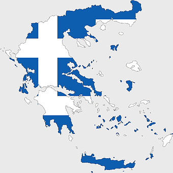
Flag of Greece map, Greek national symbol, Greece travel world map, Greek flag overlay, Hellenic geography, Mediterranean country borders, Aegean region cartography -
500x1220px

Israel-Palestine silhouette, Spiritual Guidance Australia logo, black and white map outline, monochrome country shape, geopolitical region graphic, spiritual guidance symbol, Middle East territory illustration -
2400x1392px

United States blank map, U.S. state outline, black and white map, geography line art, political map of America, educational map design, USA state borders illustration -
1024x1024px

Japan map silhouette, black and white Japan map, Japan prefectures outline, monochrome Japan map, Japanese geography illustration, Asia travel icon, country shape graphic -
3004x2002px

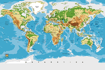
world map for nursery, Antarctica continent map, wall decal world map, physical geography map, earth visualization art, continental eco-regions illustration, global atlas design -
633x481px

Venezuela map, world map, travel Venezuela, flag of Venezuela, South America geography, political boundaries, cartography design -
2641x3794px

Statue of Liberty, New York City landmark, United States monument, liberty symbol, iconic American sculpture, green patina statue, historic freedom monument -
1069x665px

blank map Russia, white world map, black and white monochrome map, Asia continent map, outline drawing maps, geopolitical map regions, line art geography charts -
1732x900px

Graz postal codes map, Austria city map, black and white map, travel world map, political region boundaries, urban area layout, postal code regions -
1218x1218px

globe logo, world map icon, earth circle, black and white globe, global geography, planet illustration, terrestrial sphere -
1208x1208px

European Union Map, info map Europe, European continent outline, европа карта, Geo-political boundaries visualization, Cartographic European regions, International borders depiction -
512x512px

location pin icon, map navigation symbol, travel destination marker, place pointer logo, digital mapping tool, geographic location tag, global positioning graphic -
1126x1327px

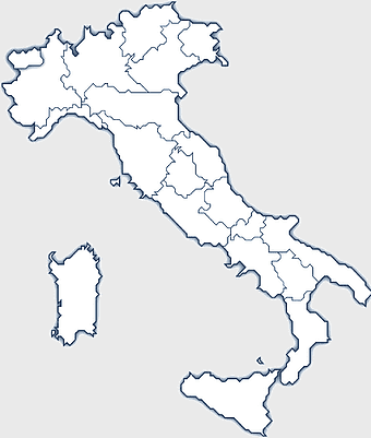
Regions of Italy Map, black and white Italy map, line art Italy regions, Italy area divisions, Italian geography outline, Italian travel map, Italian regional borders -
1280x1280px

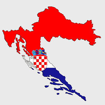
counties of Croatia map, Croatian border flag, Dalmatia region, Slavonia area, Croatian historical regions, European country divisions, Croatian administrative boundaries -
1600x781px

turkish kurdistan map, provinces of turkey map, eastern anatolia region map, blank turkey map, geographic boundaries of turkey, turkey provinces, turkey area visualization -
590x519px

Middle East political map, Middle East geography, green Middle East map, Middle East travel map, Arabian Peninsula map, regional Middle East map, Middle East borders map -
700x683px

Flag of Texas, Texas state flag map, blank Texas map, Texas flag design, Texas state outline, Lone Star state map, Texas geography illustration
