Blank India map, states and territories of India outline, monochrome Indian political map, central India geography, Indian borderlines illustration, subcontinental regions layout, location markers on India无声無息无声无息无声无息China, PNG free download
blank India map, states and territories of India outline, monochrome Indian political map, central India geography, Indian borderlines illustration, subcontinental regions layout, location markers on India无声無息无声无息无声无息China
More related PNGs
1000x365pxIndonesia blank map, black silhouette map, monochrome world map, outline map of Indonesia, geographical outline, travel map design, cartographic illustration
850x550pxblue world map, early cartography atlas, political map collection, world map line art, global geography illustration, international map design, earth continent layout
7506x8000pxIndia blank map, orange India silhouette, India world map design, stock India map, Indian geography outline, map of South Asia, India political borders
1280x580pxred and white map illustration, Flag of Indonesia Brunei Map, greater Indonesia map, blank map with flag design, Southeast Asia political map, cartographic design elements, regional geography illustration
700x700pxIndia silhouette map, India map drawing, India world map, India map design, Indian subcontinent outline, South Asia map illustration, India geographic shape
3001x1099pxgrey Indonesia map, blank globe illustration, monochrome country map, flat design travel map, Southeast Asia geography, archipelago outline, island nation cartography
603x1024pxLion Capital of Ashoka, Satyameva Jayate, State Emblem of India, monochrome logo, Indian national symbols, Ashoka pillar iconography, heritage art illustration
700x838pxIndia Map illustration, India political map, blank India map, India state boundaries, Indian subcontinent geography, South Asia cartography, detailed India region map
1200x1200pxIndia monochrome map, Indian silhouette map, blank India map, black and white India map, India geographic outline, India country shape, India border illustration
1425x1199pxChina flag map, Flag of China blank map, red China map, Chinese flag stars, China political map, China geography illustration, China national symbol design
892x906pxBrazil regions map, blank Brazil map, political map of Brazil, ecoregions of Brazil, South American geography, Brazilian states outline, map of Brazilian territories
900x900pxKarnataka Legislative Assembly election map, India political map, yellow Karnataka outline, Karnataka election results map, Indian state boundaries, regional election visualization, political geography of Karnataka
675x421pxMaharashtra map, Maharashtra state outline, Maharashtra geography, Maharashtra region, India state maps, map of Indian states, Maharashtra borders, png
1200x641pxRussia blank map, black and white Russia map, monochrome Russia map, white Russia map, Russian geography, political map of Russia, Russia outline map
900x900pxKerala Map, India silhouette, blank Kerala map, travel Kerala, South India state, geographical outline, blue region map
2953x1911pxworld map silhouette, monochrome world map, black and white globe, raster world map, global atlas design, earth map illustration, political map outline
900x900pxNizamabad District Map, Telangana State Outline, India Political Map, Yellow Region Highlight, Geographical Borders, Administrative Division, Regional Cartography
595x689pxIndia blank map, political map of India, outline of India, white line map, geographical visualization, country borders, subcontinent layout
1115x1280pxIndia flag map, Indian national symbol, tricolor India map, blank India map, political map of India, Ashoka Chakra design, Indian geography outline
2602x1952pxEurope political map, European globe map, world geography, European area map, European continent map, European countries outline, European map illustration
734x815pxIndia silhouette map, black and white India map, monochrome India outline, India map, geographical representation of India, country shape illustration, Indian subcontinent outline
1024x1024pxJapan map silhouette, black and white Japan map, Japan prefectures outline, monochrome Japan map, Japanese geography illustration, Asia travel icon, country shape graphic
2339x1377pxRussia Map silhouette, black and white Russia map, blank Russia map, monochrome world map, Russian geography outline, Eurasian landmass shape, northern hemisphere cartography
1060x660pxEurope blank map, monochrome world map, black and white geography, cartography europe, political map analysis, continental borders visualization, geographic layout study
1600x1135pxworld map illustration, mercator projection map, elegant world map design, political world map, global geography infographic, international borders visualization, earth continents layout
980x618pxblack silhouette USA map, blank United States map, monochrome map of USA, travel world map USA, geographic outline of America, continental United States shape, minimalist USA cartography
518x590pxTelangana state map, India blank map, states and territories of India, road map of India, political map of India, geographical map illustration, cartographic representation of India
512x512pxglobe silhouette, monochrome earth symbol, black and white world icon, earth globe computer graphic, global geography illustration, planet earth outline, universal world map design
688x838pxSouth America blank map, Central America monochrome map, Latin America line art, Americas geography illustration, political map of South America, educational map drawing, travel map of Americas
1024x377pxFlag of Indonesia Map, black and white map, Indonesia line art, monochrome travel map, Southeast Asia geography, archipelago illustration, political boundaries
1280x625pxTokat Province map, Provinces of Turkey black and white, Istanbul region outline, Amasya location on map, Turkish geography illustration, blank Turkey provinces chart, Black Sea region cartography
2937x2645pxBrazil regions map, South Region Brazil geography, Southeast Region Brazil political division, North Region Brazil ecoregion, Brazilian state boundaries, map of Brazilian territories, Brazilian regional subdivisions
1428x732pxworld map mercator projection, monochrome political map, south-up world map, blank map for coloring, global geography illustration, international borders outline, cartographic design elements
1600x1000pxIndia silhouette map, black and white India map, India political map, India map collection, geographical outline of India, country borders of India, South Asia map illustration
800x738pxAustralia monochrome map, black silhouette world map, Australia blank map, geography atlas, Australian continent outline, global monochrome cartography, earth silhouette illustration
1920x2400pxBangladesh silhouette map, black and white Bangladesh map, blank Bangladesh map, monochrome Bangladesh map, Bangladesh geographic outline, Bangladesh country shape, Bangladesh political borders
624x630pxEarth Globe Sketch, black and white globe drawing, monochrome world map illustration, line art earth diagram, global geography sketch, planet earth outline, terrestrial globe artwork
768x768pxHaryana blank map, Haryana silhouette, states of India map, black and white Haryana map, India geography outline, Haryana region illustration, Indian state borders graphic
500x500pxMaharashtra blank map, black and white silhouette, travel world map, stock map image, geographic outline, state boundary illustration, cartographic design
1280x689pxworld map drawing, monochrome globe art, white line tattoo, blank map stencil, global geography outline, earth continents sketch, minimalist cartography design
2400x1800pxMaharashtra Map illustration, UK geography, monochrome area diagrams, line art states, geographic boundary outlines, regional cartography design, geopolitical zone mapping
882x1280pxSouth America map coloring page, Latin America blank map, monochrome world map, black and white continent outline, educational geography illustration, printable line art map, travel world map design
576x602pxAfrica blank map, black and white continent outline, monochrome line art geography, stock Africa, geographical sketch, minimalist cartography, white background continents
800x583pxMexico United States border map, blank political map, black and white world map, monochrome country diagram, international geography layout, cartographic line art, travel destination atlas
512x512pxMaharashtra Blank map, orange silhouette map, road map topo, city map India, geospatial visualization, state boundary outlines, cartographic graphic design
846x914pxDelhi Legislative Assembly election 2015 map, Delhi Legislative Assembly election 2013 map, blank Delhi map, India political map, Delhi electoral districts, Indian state elections, political geography of Delhi
980x914pxFlag of Pakistan, blank map, black silhouette, monochrome map, Pakistan geography, political borders, country outline
1200x1584pxColombia departments map, Putumayo Department outline, Boyacá Department geography, blank map of Colombia, Colombian regional boundaries, South American departmental divisions, cultural regions of Colombia
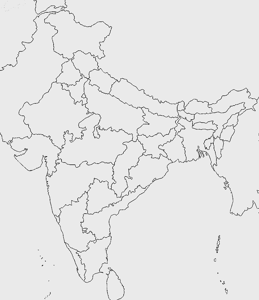
3638x4000pxIndia states and territories map, blank India map, India political map, India regions map, Indian subcontinent map, India administrative divisions, India geography map
500x1220pxIsrael-Palestine silhouette, Spiritual Guidance Australia logo, black and white map outline, monochrome country shape, geopolitical region graphic, spiritual guidance symbol, Middle East territory illustration
640x521pxSpain blank map, autonomous communities outline, black and white geography map, spain political regions, spain educational map, spain regional divisions, spain line art map
1137x1137pxChina monochrome map, China silhouette, blank China map, provinces of China, Chinese geography outline, China political regions, China cartography design
1024x1024pxRajasthan map, blue map outline, travel world map, blank map template, geographical region, state boundary, cartographic design
900x900pxTamil Nadu Legislative Assembly election 2016 results, AIADMK political party, Tamil Nadu state assembly elections, yellow electoral map, Indian state election outcomes, political geography of Tamil Nadu, regional election analysis
1024x681pxworld map silhouette, black and white world map, monochrome world map, world map countries, global geography illustration, international map outline, earth continents graphic
2000x2025pxNetherlands Flanders map, Greater Netherlands flag, Dutch flag colors, Flanders region map, European political geography, Netherlands cultural regions, Netherlands historical territories
507x552pxIndia map outline, Kalady Ripple Ethereum Hinduism, Adi Shankara Alvars, line art map, Indian subcontinent geography, spiritual traditions India, cryptocurrency in India
900x900pxIndia blank map, monochrome India silhouette, India map line art, black and white India map, India geographic outline, India country shape, India political borders
2400x1392pxUnited States blank map, U.S. state outline, black and white map, geography line art, political map of America, educational map design, USA state borders illustration
2400x1800pxTamil Nadu map outline, black and white India map, monochrome line art map, travel diagram India, geographic boundary illustration, state region outline, cartographic sketch Tamil Nadu
799x334pxworld map silhouette, black and white globe decal, monochrome world map, blank map wall art, global geography decor, earth outline sticker, international atlas design
851x936pxMizoram cultural heritage tourism, Incredible India advertising, India map illustration, heritage tourism in India, Indian state landmarks, travel map of India, cultural diversity in India
600x656pxIndia map silhouette, orange and green India map, blank India map, geography of India, Indian subcontinent map, South Asia map outline, India topography visualization
640x586pxEurope blank map, European political map, black and white globe, world map pattern, geographic layout, cartographic design, continental outline
446x729pxsouth Korean Presidential Election 1967 map, Seoul black and white silhouette, Korean Peninsula monochrome illustration, South Korea election geography, political history of Korea, historical election visuals, Asian political cartography
1069x665pxblank map Russia, white world map, black and white monochrome map, Asia continent map, outline drawing maps, geopolitical map regions, line art geography charts
700x700pxFlag of China Map, Chinese flag design, red and yellow stars, China political map, Chinese national emblem, Asian country outline, patriotic symbol illustration
4351x3416pxGujarat state map, Gujarat geographical layout, Gujarat district boundaries, Gujarat region outline, Indian state cartography, regional mapping, administrative divisions visualization, png
993x646pxRussia map silhouette, blank Russia map, Russian geography outline, black and white Russia outline, Eurasian region borders, political map of Europe and Asia, Slavic states boundaries
960x1132pxIndia map silhouette, Indian geographic region, high-resolution India outline, India political divisions, India landmass representation, silhouette illustration of India, Indian subcontinent visual map
1600x1054pxTelugu Desam Party logo, Andhra Pradesh politics, red bicycle illustration, Indian political symbols, cycling culture in India, political party emblems, transportation in Telugu regions
1000x1000pxIndia map outline, black and white India map, India geography drawing, India map coloring book, India cartography, monochrome world map, line art country borders
875x583pxMaharashtra map, Chief Minister Government, Devendra Fadnavis, India travel, Maharashtra regional divisions, map of states with percentages, Maharashtra political geography
700x700pxSpain silhouette map, black and white Spain map, mercator projection Spain, blank Spain map, geographic illustration, peninsular outline, isolated monochrome map