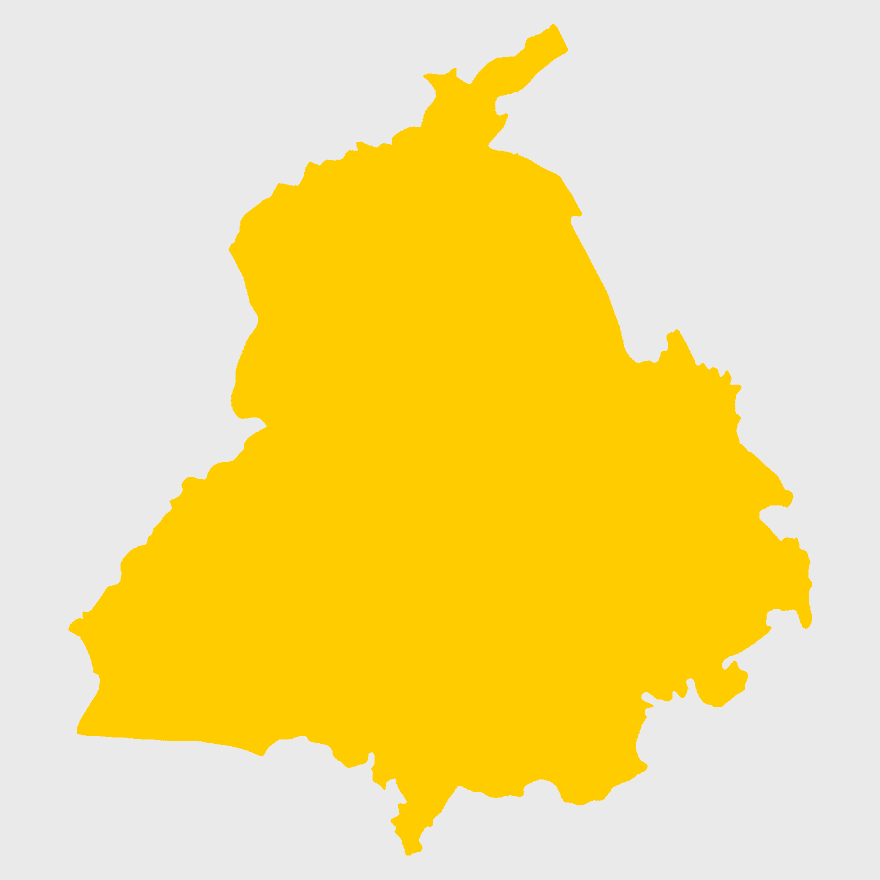
Punjab Legislative Assembly election 2017 map, Indian general election 2014 Punjab, Punjab states and territories map, yellow Punjab outline, India political map, election geography, regional election boundaries, PNG free download
Punjab Legislative Assembly election 2017 map, Indian general election 2014 Punjab, Punjab states and territories map, yellow Punjab outline, India political map, election geography, regional election boundaries
More related PNGs
7506x8000pxIndia blank map, orange India silhouette, India world map design, stock India map, Indian geography outline, map of South Asia, India political borders
900x900pxKarnataka Legislative Assembly election map, India political map, yellow Karnataka outline, Karnataka election results map, Indian state boundaries, regional election visualization, political geography of Karnataka
700x838pxIndia Map illustration, India political map, blank India map, India state boundaries, Indian subcontinent geography, South Asia cartography, detailed India region map
2000x2171pxTamil Nadu Government Seal, Tamil Nadu Legislative Assembly emblem, State Emblem of India, gopuram temple illustration, Indian state symbols, Tamil Nadu official logo, South Indian government insignia
675x421pxMaharashtra map, Maharashtra state outline, Maharashtra geography, Maharashtra region, India state maps, map of Indian states, Maharashtra borders, png
892x906pxBrazil regions map, blank Brazil map, political map of Brazil, ecoregions of Brazil, South American geography, Brazilian states outline, map of Brazilian territories
900x900pxNizamabad District Map, Telangana State Outline, India Political Map, Yellow Region Highlight, Geographical Borders, Administrative Division, Regional Cartography
900x900pxKerala Map, India silhouette, blank Kerala map, travel Kerala, South India state, geographical outline, blue region map
820x820pxorange waterlily flower art, Bharatiya Janata Party logo, Indian general election 2014, Narendra Modi, political party emblem, election symbol, Indian political iconography
943x1091pxblank India map, states and territories of India outline, monochrome Indian political map, central India geography, Indian borderlines illustration, subcontinental regions layout, location markers on India无声無息无声无息无声无息China
1001x555pxRussia political map, карта россии, world map cartography, mapa polityczna Russia, Russian federation regions, geopolitical boundaries, Eurasian territories
1115x1280pxIndia flag map, Indian national symbol, tricolor India map, blank India map, political map of India, Ashoka Chakra design, Indian geography outline
900x900pxTamil Nadu Legislative Assembly election 2016 results, AIADMK political party, Tamil Nadu state assembly elections, yellow electoral map, Indian state election outcomes, political geography of Tamil Nadu, regional election analysis
846x914pxDelhi Legislative Assembly election 2015 map, Delhi Legislative Assembly election 2013 map, blank Delhi map, India political map, Delhi electoral districts, Indian state elections, political geography of Delhi
2937x2645pxBrazil regions map, South Region Brazil geography, Southeast Region Brazil political division, North Region Brazil ecoregion, Brazilian state boundaries, map of Brazilian territories, Brazilian regional subdivisions
2400x1800pxMaharashtra Map illustration, UK geography, monochrome area diagrams, line art states, geographic boundary outlines, regional cartography design, geopolitical zone mapping
518x590pxTelangana state map, India blank map, states and territories of India, road map of India, political map of India, geographical map illustration, cartographic representation of India
1024x570pxAam Aadmi Party logo, black brush stroke, Punjab Legislative Assembly election 2017, Arvind Kejriwal campaign, political party emblem, Indian election symbol, chief minister election graphic
768x768pxSpecial Status Andhra Pradesh, Andhra Pradesh Legislative Assembly election, blue India map, electoral district Andhra Pradesh, Andhra Pradesh political map, N Chandrababu Naidu protests, Andhra Pradesh government policies
512x512pxMaharashtra Blank map, orange silhouette map, road map topo, city map India, geospatial visualization, state boundary outlines, cartographic graphic design
1200x1584pxColombia departments map, Putumayo Department outline, Boyacá Department geography, blank map of Colombia, Colombian regional boundaries, South American departmental divisions, cultural regions of Colombia
768x768pxHaryana blank map, Haryana silhouette, states of India map, black and white Haryana map, India geography outline, Haryana region illustration, Indian state borders graphic
1024x1024pxRajasthan map, blue map outline, travel world map, blank map template, geographical region, state boundary, cartographic design
2400x1800pxTamil Nadu map outline, black and white India map, monochrome line art map, travel diagram India, geographic boundary illustration, state region outline, cartographic sketch Tamil Nadu
3638x4000pxIndia states and territories map, blank India map, India political map, India regions map, Indian subcontinent map, India administrative divisions, India geography map
800x1200pxSouth Korean presidential election 2017 map, provinces of South Korea, black and white Korea map, South Korea blank map, Korean political geography, Korean election results visualization, Korean regional boundaries
2000x2025pxNetherlands Flanders map, Greater Netherlands flag, Dutch flag colors, Flanders region map, European political geography, Netherlands cultural regions, Netherlands historical territories
2206x2190pxEuropean Union member states map, Flag of Europe, UK map, Eurozone countries, European geography, EU political boundaries, European Union membership
507x552pxIndia map outline, Kalady Ripple Ethereum Hinduism, Adi Shankara Alvars, line art map, Indian subcontinent geography, spiritual traditions India, cryptocurrency in India
640x521pxSpain blank map, autonomous communities outline, black and white geography map, spain political regions, spain educational map, spain regional divisions, spain line art map
4351x3416pxGujarat state map, Gujarat geographical layout, Gujarat district boundaries, Gujarat region outline, Indian state cartography, regional mapping, administrative divisions visualization, png
993x646pxRussia map silhouette, blank Russia map, Russian geography outline, black and white Russia outline, Eurasian region borders, political map of Europe and Asia, Slavic states boundaries
2400x1392pxUnited States blank map, U.S. state outline, black and white map, geography line art, political map of America, educational map design, USA state borders illustration
600x656pxIndia map silhouette, orange and green India map, blank India map, geography of India, Indian subcontinent map, South Asia map outline, India topography visualization
960x1132pxIndia map silhouette, Indian geographic region, high-resolution India outline, India political divisions, India landmass representation, silhouette illustration of India, Indian subcontinent visual map
1208x1208pxEuropean Union Map, info map Europe, European continent outline, европа карта, Geo-political boundaries visualization, Cartographic European regions, International borders depiction
2152x1744pxCanada map silhouette, black and white Canada map, Canadian geography outline, monochrome Canada map, Canadian political boundaries, North American cartography, Canadian territorial shape
875x583pxMaharashtra map, Chief Minister Government, Devendra Fadnavis, India travel, Maharashtra regional divisions, map of states with percentages, Maharashtra political geography
2000x10865pxSantiago Chile map, monochrome regions of Chile, Chilean election map, black and white silhouette, Chile political divisions, Chilean geography outline, Chile travel regions
1644x2400pxColombia map, monochrome map, black and white map, travel world map, South America geography, political boundaries, regional divisions
606x600pxUttar Pradesh map, black and white map, blank map of Uttar Pradesh, travel map India, geographical outline, state boundaries, regional division
2400x1600pxFlag of Ukraine, Ukrainian national flag map, blue and yellow map, political map of Ukraine, Eastern European map design, country outline flag, Ukraine geography graphic
612x416pxMexico State Puebla map, administrative divisions of Mexico, black and white map, Puebla Mexico State, Mexican geography, state boundaries, regional cartography
1137x1137pxChina monochrome map, China silhouette, blank China map, provinces of China, Chinese geography outline, China political regions, China cartography design
512x512pxUttar Pradesh map, silhouette, travel World, green design, Indian state outline, geographical boundary, map graphic
1251x1066pxAustralia Map, Map of Australia, place names, map icon, Australian geography, state boundaries, regional landmarks
815x543pxUkraine political map, Ukrainian regions, world map area, travel Ukraine, European geography, cartography visualization, geopolitical boundaries
704x692pxBrazil regions map, Brazilian states geography, dot distribution map Brazil, travel world Brazil, South American countries map, political division of Brazil, Brazil map with states
768x768pxChhattisgarh silhouette map, Government of Chhattisgarh line art, Chhattisgarh state outline, Chhattisgarh map illustration, Chhattisgarh geographic shape, Indian state map art, Chhattisgarh region drawing
758x858pxPunjabi language map, Punjab region, red map outline, India travel map, Punjabi culture, geographical map of Punjab, Punjab state borders
641x598pxBrazil regions map, North Region Brazil, Central-West Region Brazil, green geography map, Brazilian states outline, South American regions, Amazon rainforest area
1024x500pxTürkiye map, Turkey geography, Turkish regions, Anatolia outline, country borders, political divisions, map visualization, png
530x530pxAustralia silhouette map, Oceania world map, Australia political map, Australia map, Australian continent outline, Pacific region map, South Pacific geography